Temperatures in Winnipeg will continue heat up as the city enters into a stretch of hot summer weather.
Winnipeg will see partly cloudy skies through the day today as some remnant cloud from overnight thunderstorms in Saskatchewan graze the area on their way by. There will still be plenty of sun, though, and temperatures will climb to a high near 28°C. Breezy southerly winds picking up to 30 gusting 50 km/h will draw a more humid air mass northwards, making this feel a bit muggy this afternoon.
Heading into the evening, the city will see a slight risk of thunderstorms. Unfortunately, the setup is highly conditional. Whether or not thunderstorms will move eastwards out of southwestern Manitoba into the RRV won’t be clear until much later today. For a comprehensive look at why the setup is so tricky, be sure to check out the ECCC Thunderstorm Outlook on our bulletin viewer.1 As the system responsible for the thunderstorm threat pushes east overnight, skies will clear. The wind will ease tonight with temperatures dipping to a low near 18°C.
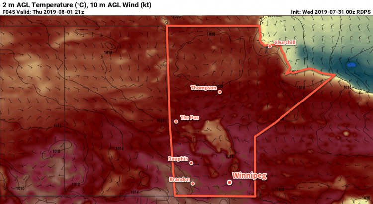
Thursday will bring mainly sunny skies to the city as a broad ridge of high pressure moves through. The humidity will ease a bit as temperatures head to a high near 30°C. Winds won’t be much of an issue either, light out of the north or northeast. All in all a beautiful summer day! Temperatures will dip to a low near 17°C on Thursday night under partly cloudy skies. There is a small chance of showers or thunderstorms on Thursday night, but if they form they will likely stay well to the south of the city near the U.S. border.
Temperatures will continue to inch warmer on Friday with a high near 31°C. The city will see a bit more cloud through the day thanks to a stalled frontal boundary draped through the region. Winds will once again be light. Skies should gradually clear on Friday night as the warm front slowly pushes off to the northeast. As it does so, however, it may end up producing a few showers or thunderstorms on its way out of the region. Temperatures will dip to a low near 20°C on Friday night.
Long Range Outlook
The weekend looks hot with humid weather returning, highs in the low 30s, and lows near 20°C. The region will see plenty of sun, but once again there’s a small chance of thunderstorms on Saturday night.
Today’s seasonal daytime high in Winnipeg is 26°C while the seasonal overnight low is 13°C.
- An updated Day 1 Thunderstorm Outlook should be available at the latest by 7:30 AM. ↩