Unsettled conditions will usher in cooler, but still mild, temperatures and less humid conditions for Thursday, but more humidity and rain looks likely on Friday.
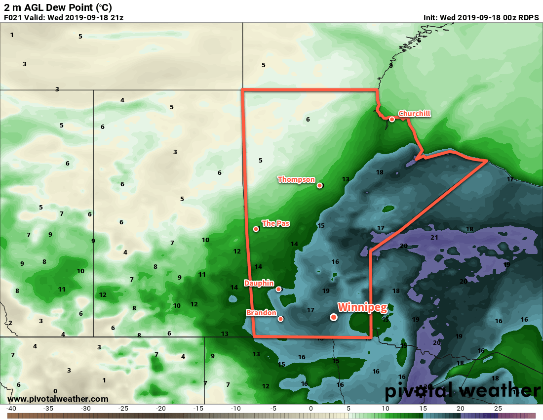
The hot and humid weather Winnipeg has seen over the past couple days will come to an end today. A low pressure moving across the province will bring mixed skies to the Red River Valley as it gradually pushes the humid air off to the east. The region will have a chance of seeing some showers or thunderstorms, particularly midday into the afternoon, but most of the activity should keep to the west and north of Winnipeg. Temperatures will be a bit cooler today than the last couple, but still above-seasonal with a high near 24°C.
As the day progresses, winds will pick up out of the west into the 20 to 30 km/h range, then shift northwest in the evening as they taper off. Temperatures will head to a low near 13°C. Despite the cooler low, there’s still a chance that Winnipeg may break its record warm minimum temperature for September 18. The city managed to break yesterday’s warm minimum record – 17.8°C set in 1946 – with a minimum of 21.3°C. If temperatures can stay above 15.8°C until 1 AM, then the city will break the previous record set in 1964.
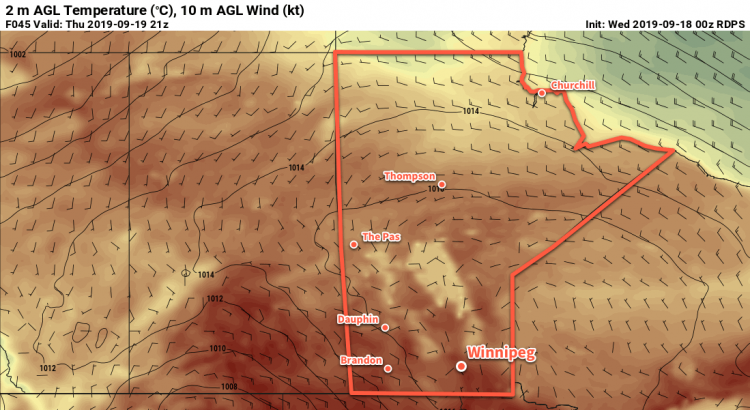
Thursday will be a pleasant day across the region as a ridge of high pressure moves through. Expect mainly sunny skies, light winds, and a high near 22°C. The next disturbance on the way will spread cloud into the region on Thursday night as temperatures head to a low near 14°C.
Friday will bring the next significant low pressure system to southern Manitoba. The low is forecast to organize over central North Dakota on Friday, then move across the Red River Valley on Friday night. It will spread showers and thunderstorms into southern Manitoba through the day Friday, that will further organize and strengthen into Friday night. This system will be capable of producing heavy rainfall as it taps into that same humid air that was over Winnipeg on Monday and Tuesday.
It’s still a bit early to be specific in the forecast, but in general it looks like much of southern Manitoba will see showers and thunderstorms with 25 to 50 mm of rain by the end of Saturday. The biggest uncertainties will be when the rain begins—some suggest early Friday, other models keep the rain off until late in the day—and how banded in nature the heavy rain is. Either way, wet weather looks to be back on the way for Friday into Saturday.
Other than the rain, Friday will be seasonably warm with a high near 25°C. A southerly wind of 20 to 30 km/h will draw some humidity back north, making it feel a bit humid out and ensuring that it stays on the warmer side while it rains.
Long Range Outlook
Generally unsettled conditions look to persist through the weekend with the chance for showers continuing Saturday night and mixed to cloudy skies on Sunday with the chance for a few more showers. Temperatures will return to seasonal values this weekend, then continue at seasonal to slightly above-seasonal values through next week.
Today’s seasonal daytime high in Winnipeg is 17°C while the seasonal overnight low is 6°C.