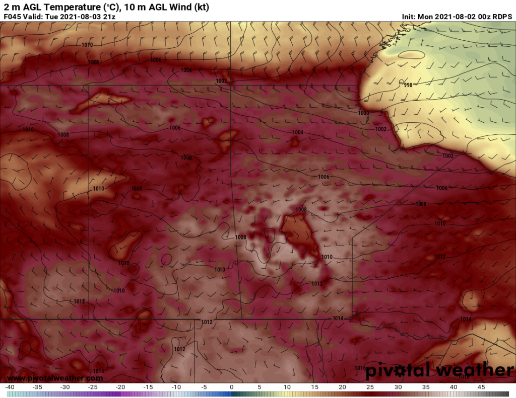
Winnipeg will see more smoky weather as an upper ridge sends temperatures soaring.
Winnipeg will see several days ahead with highs climbing above 30 °C as a potent upper ridge pushes eastwards across the Prairies. With the upper ridge will come broad subsidence and mainly sunny skies over the next few days.
Unfortunately, Winnipeg will continue to see periods of smoke as well. Conditions will likely be worst today, improve for tomorrow, then degrade a bit again on Wednesday.

Overnight lows will be seasonably warm, though it will be a very warm night on Tuesday night when the warmest air is over the region.
It will stay dry over the next few days, but a few showers or thunderstorms may be possible later Wednesday. A low pressure system will be dropping southwards into the region and may trigger more scattered thunderstorms.
Long Range Outlook
Winnipeg will see a return to seasonal temperatures in the second half of the week with variable cloudiness. There might be a small chance of some showers, but no notable rainfall is likely.
Today’s seasonal daytime high in Winnipeg is 26 °C while the seasonal overnight low is 13 °C.
