Despite a vigorous cold front sweeping through the region yesterday, seasonably mild weather will persist the rest of the work week. But get ready, it looks like a blast of Arctic air is on the horizon.
Winnipeg will continue to see mixed to cloudy skies this week in the wake of yesterday’s cold front that borough some light snow to the region through the day. Through the rest of the work week, a stalled front will stretch from northern Saskatchewan to southeastern Manitoba, with a few weak disturbances rippling along it. Not only will this maintain the cloud, it will bring the a good chance for occasional bouts of light snow through the week.
Some light accumulations of snow are most likely this morning, then a few flurries might slide across the Red River Valley through Wednesday. A more organized system will bring accumulating snow to much of southern Manitoba sometime Thursday afternoon through the night. This final system could bring as much as 4 to 8 cm of snow to some areas by Friday morning.
Over these days, daytime highs will generally sit in -5 to -10 °C range expect for Wednesday which will likely see a high slightly cooler than -10 °C. Overnight lows will vary quite a bit depending on how much cloud sticks around, but most will settle in the -15 to -20 °C range.
Long Range Outlook
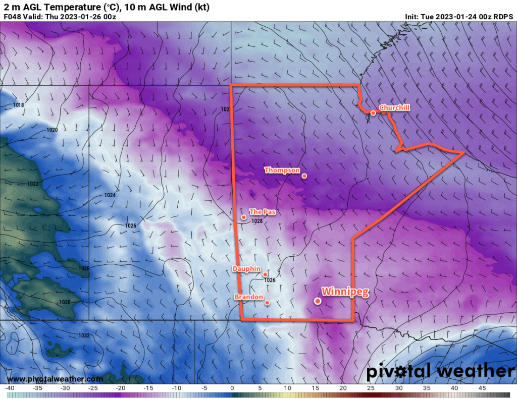
Friday’s passing low will bring about a fairly substantial pattern change. This system will be bolstered by a cross-polar surge of Arctic air that pushes the Polar Vortex southwards into Canada’s eastern Arctic region. This will allow much colder air to spill southwards into the Prairies, bringing some bitter cold that the region hasn’t seen since shortly before Christmas last year.
Forecasts show a strong cold front surging southwards through southern Manitoba on Friday night. Temperatures will plummet behind it with Winnipeg’s overnight low dropping into the low minus 20s. This weekend, daytime highs will struggle to reach the -20 to -25 °C range with overnight lows likely dipping to -30 °C.
Some models show a low pressure system passing through the region on Sunday night; if this happens, stronger northerly winds on Monday morning will likely result in blowing snow across the region.
With the surge of much colder conditions, wind chill values will dip towards the -40 mark. There’s a good chance that some extreme cold warnings will spread from Northern Manitoba into southern Manitoba through the weekend.
It’s been exceptionally mild winter so far and it was inevitable that we’d get some very cold temperatures before the season was up. Enjoy the relative warmth this week, and prepare to bundle up for the weekend!
Today’s seasonal daytime high in Winnipeg is -13 °C while the seasonal overnight low is -23 °C.