Another surge of Pacific air will spread across the Prairies this week, bringing above-seasonal temperatures back to the region.
There will be one more day of near-seasonal temperatures in Winnipeg before warmer weather arrives. For today, a ridge of high pressure moving across the region will bring partly cloudy skies with a high around -6 °C. Temperatures will dip back down to around -10 °C tonight with clear skies.
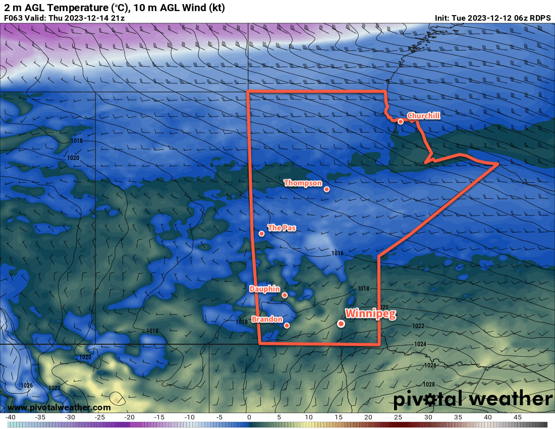
Heading into mid-week, southerly winds will pick up across the region; winds on Wednesday will increase into the 30 to 40 km/h range with a daytime high in the -3 to 0 °C range. Temperatures will stay fairly steady on Wednesday night, followed by a high a couple degrees above freezing on Thursday. The southerly winds will finally taper off on Thursday evening.
Winnipeg will see sunny to mixed skies through this time. On Thursday night, more cloud is likely along with a chance of flurries as a disturbance moves through the region.
Long Range Outlook
Temperatures will stay mild through the weekend with highs near freezing and lows close to -10 °C. Next week, temperatures look to trend back towards seasonal values with no notable snowfall on the horizon.
Today’s seasonal daytime high in Winnipeg is -9 °C while the seasonal overnight low is -19 °C.
Thanks Brad, Your posts are always informative. I’ve learned more about El Nino this year than I ever have before. While I know many are enjoying this weather, I do know it’s cause for concern.