A passing disturbance will bring fresh snow to southern Manitoba today, then colder temperatures will begin to creep into the region.
The slow march of much colder Arctic air has brought it southwards this week. Temperatures have fallen into the -30s in the northernmost Manitoba, but this weekend’s passing disturbances will stall the southerly push. Instead, the cold air will fortify over the southern Arctic while a push of milder air across the southern Prairies brings fresh snow.
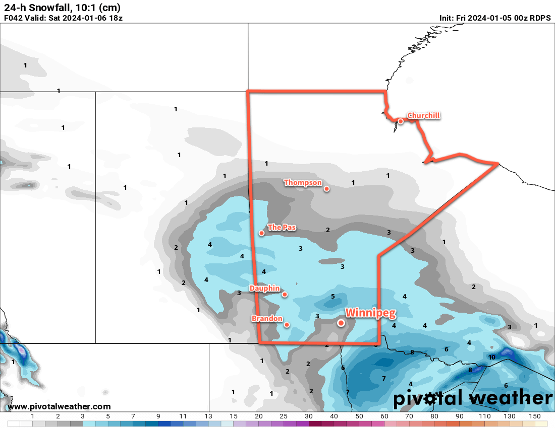
For today, a cold front will slump into southern Manitoba and then stall as a different system passes to the south through North Dakota. As it moves into the region, an area of snow will spread through WestMan towards the Red River Valley. A few flurries are possible this afternoon in Winnipeg, but the organized snow won’t likely arrive until the evening. Daytime highs will sit in the -10 to -5 °C range through much of southern Manitoba.
Snow will move through the Red River Valley tonight with 2 to 5 cm accumulation by Saturday morning. The cloud cover and stalling of the cold front will help keep it comparatively mild with lows near -10 °C.
On Saturday, the snow will taper off in the morning as the disturbance moves off to the east. Cloud cover will linger through the day as the cold front begins to push southwards again. Temperatures will hover around the -10 °C mark with northwest winds in the 20 to 30 km/h range.
The region will see cloudy to partly cloudy skies on Saturday night as a weak ridge moves across. Lows will dip into the -20 to -15 °C range as the winds ease.
Another disturbance will begin working towards the region on Sunday, spreading more cloud back into the region. The Winnipeg area will see a chance of flurries develop through the day as organized snow pushes into western Manitoba. It will be a cool day with highs in the -15 to -10 °C range.
This system will likely give 2 cm or less of new snow to the region as it spreads eastwards overnight. Temperatures will dip down into the -20 to -15 °C range on Sunday night with cloudy skies as the snow tapers off.
Long Range Outlook
A major pattern change is coming up next week: a major outbreak of Arctic air over the Prairies. It will begin to drop southwards into Alberta early in the week and help spin up a potent low pressure system that will track eastwards across the Prairies mid-week. It could bring a widespread 5 to 10 cm to much of the Prairies, followed by moderate to strong northwest winds and plummeting temperatures.
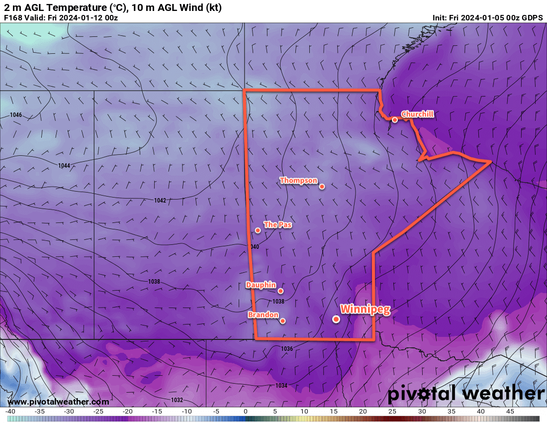
The latter half of next week will be marked by the settling of Arctic air across the eastern Prairies. Daytime highs in the -20s will be possible with a chance that overnight lows could dip below -30 °C. It will be an abrupt transition to dangerous cold in a winter that hasn’t seen it yet.
Be sure to get ready for it; get out the long johns, neck warmers and/or face coverings, get an emergency kit ready for your car, and consider seeing if you can help out any local shelters that may need resources to help with the upcoming cold.
Today’s seasonal daytime high in Winnipeg is -13 °C while the seasonal overnight low is -23 °C.
Thank you Brad for posting these updates. I enjoy reading them and they are really helpful.
Happy New Year.