A push of warm air will bring beautiful spring weather to southern Manitoba this weekend.

A low pressure system lifting from northern Alberta into the southern Arctic will drag a warm front across the southern Prairies. This will spread seasonably mild temperatures into the province for the weekend.
For today, though, a ridge of high pressure over the province will bring partly cloudy skies with a high near 10 °C.
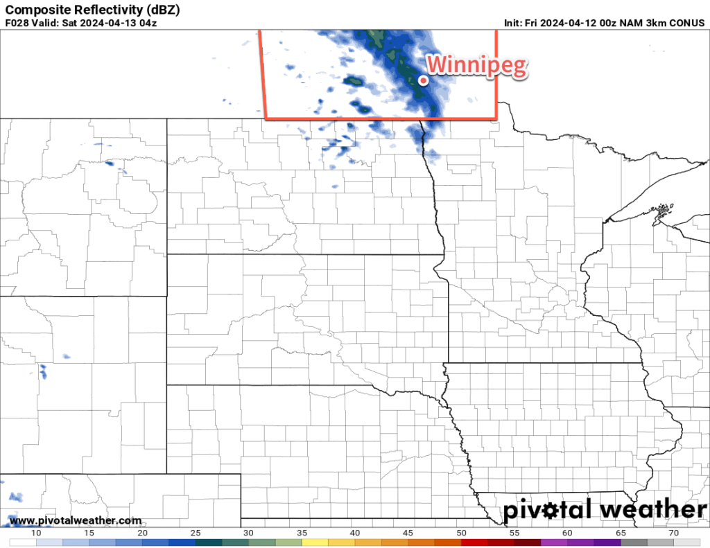
The warm front will push east across Saskatchewan today, pushing into southern Manitoba into Saturday morning. This will bring cloud cover into the region and keep overnight lows mild near +5 °C. As this warm front tracks into Manitoba, there may be enough mid-level instability for scattered showers or thunderstorms overnight into Saturday morning.
Once the morning cloud clears out, Saturday will be a pleasant day across southern Manitoba with partly cloudy skies and daytime highs in the upper teens or low 20s.
Temperatures will dip to around 5 °C again on Saturday night.
A ridge of high pressure that moves into the region on Sunday will bring sunny skies and a high in the upper teens.
Long Range Outlook
Next week will bring a low pressure complex to the Canadian Prairies and American Plains, driven by a potent Colorado Low. This system will bring showers, thunderstorms, and snow to various parts of the southern Prairies beginning on Monday and lasting through Thursday.
The heaviest snow will likely spread from central Saskatchewan into central Manitoba where anywhere from 40 to 60 cm is possible. To the south of this, many areas will see varying amounts of a mix of precipitation. It will trend more towards snow in Saskatchewan while southern Manitoba sees a greater mix of rain and snow.
Winnipeg is looking to be tucked away in a comparatively warm pocket that includes the Red River Valley and southeastern Manitoba. Current outlooks would suggest that this area mainly sees a few waves of rain and drizzle, with snow holding off until lighter wrap-around snow moves through as the system leaves the region.
This will be a complex system with evolving forecasts over the coming days. You can check the latest forecasts on the Meteorological Service of Canada’s website.
Today’s seasonal daytime high in Winnipeg is 9 °C while the seasonal overnight low is -3 °C.
