The weather returns to slightly warmer than normal summer fare for Winnipeg to start the week with highs in the upper 20’s and mild lows. It will also be relatively dry, with the only significant chance for rain coming on Monday night as a cold front slowly moves through the Red River Valley.
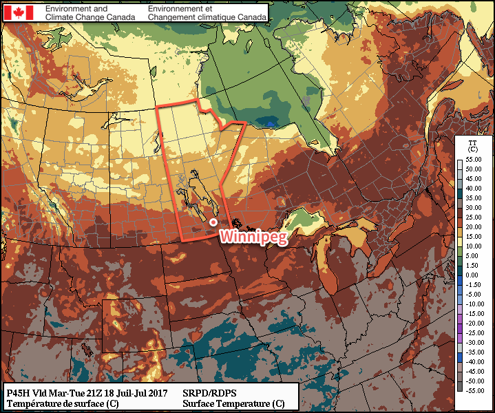
Today will be a warm and windy day in Winnipeg as breezy southerlies bring summer heat and slightly muggy conditions to the Red River Valley. Skies will become mixed fairly early in the morning as the south-to-southeasterly winds ramp up to 30-40 km/h. These gusty southerly winds will bring mild temperatures into the region, pushing daytime highs just short of 30°C. In addition to the warmth, these winds will maintain the slightly humid conditions in place with dew points remaining in the 16-18°C range. Closer to the cold front — primarily over the southwestern corner of the province but also possibly into the western Red River Valley — moisture will pool and dew points will likely rise into the low 20’s, making for quite a muggy day in those areas.
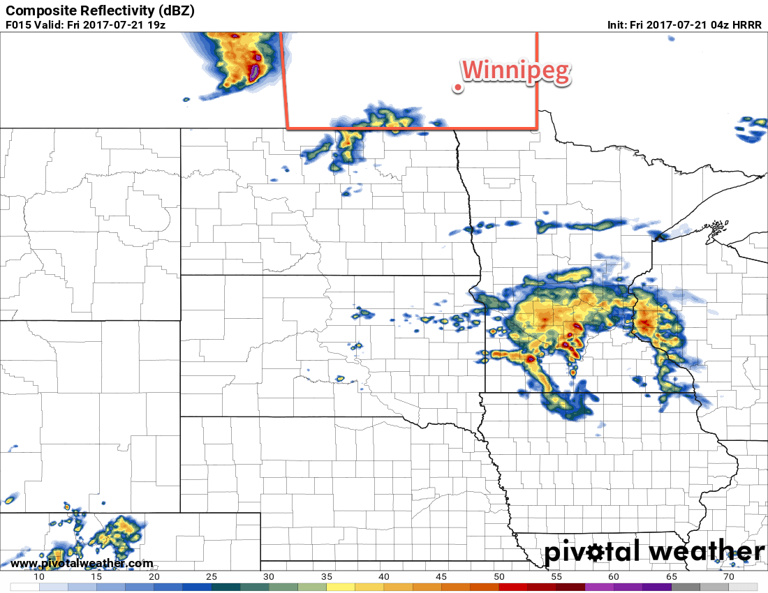
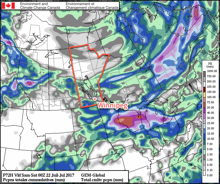
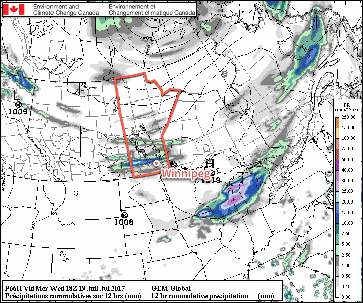
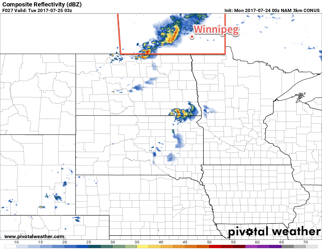
By evening, a cold front will be pushing eastwards into the Red River Valley, bringing with it a chance of showers or thunderstorms to much of southern Manitoba.
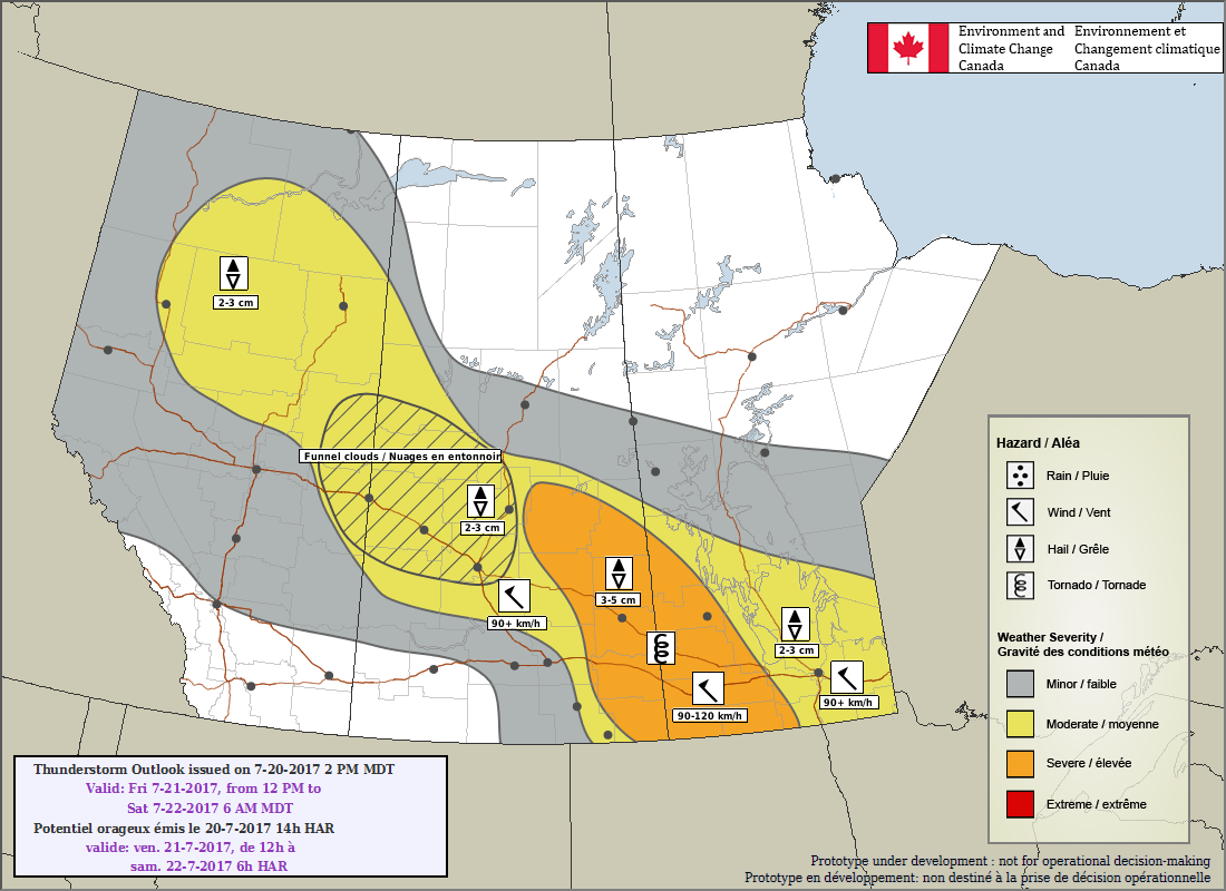
- Moisture: Dew points will climb generally into the mid-teens, but elevated moisture is expected near the cold front as moderate southerly winds enhance moisture pooling ahead of the front. Moisture is also expected to be moderately deep, extending to roughly 850 mb.
- Instability: Moderate mid-level lapse rates on the order of 7-8°C/km will combine with the low-level moisture to produce MLCAPE values of 1500-2000 J/kg.
- Shear: Shear will be somewhat lacking with only 25-30 kt of 0-6 km bulk shear; this is fairly low and may be the real limiting factor in any thunderstorm activity that may develop.
- Trigger: A pronounced cold frontal trough moving eastwards will provide the focus for any convective development.
Overall it seems that there will be enough energy available for severe thunderstorms, but the lack of shear will throw a wrench into the certainty of a large-scale severe weather outbreak.
The highest risk for severe weather in southern Manitoba will be over the southwestern corner where scattered thunderstorms first fire up along the cold front. These storms will have the potential to produce significant hail and strong winds. While an isolated tornado is possible, it won’t be an elevated threat with today’s thunderstorms. As the cold front moves eastwards through the evening and spreads the thunderstorm threat into the Red River Valley, the threat shifts towards favouring strong winds. Temperatures will bottom out overnight around 18-19°C with the winds tapering off.
The weather then settles for Tuesday and Wednesday as a broad ridge of high pressure builds into the Prairies. Skies will clear and remain mainly sunny for much of Tuesday and Wednesday as temperatures climb to highs near 27°C both days. It will remain slightly humid with dew points remaining in the mid-teens through the middle of the week. With that humidity remaining in the region, it will keep overnight lows in the mid-teens as well.
Long Range
Gradual upper-level ridging will build into the Prairies late this week and into early next week, bringing continued mild weather and low probabilities of rain. The odd system may slide across southern Manitoba from the northwest, returning temperatures back to seasonal alongside a chance of showers. Overall, though, it appears Winnipeg and the Red River Valley will be entering into a fairly dry pattern.
Winnipeg’s seasonal daytime high is currently 26°C while the seasonal overnight low is 13°C.