Big Warm-Up to Start the New Year

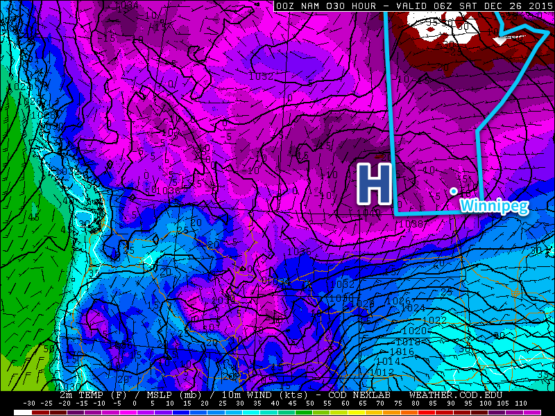
While the cold snap that settled into Winnipeg for Boxing Day was incredibly short-lived with temperatures returning to seasonal values just 3 days later, that didn’t stop many from wondering where the nice weather went. Good news for those that didn’t want to even deal with a few days of (relatively easy-going) Winnipeg winter: a big warm-up is on the way for the start of 2016.

The weather today and tomorrow will be defined by the passage of a slow-moving upper-level low pressure system that is tracking through North Dakota. This system will spread plenty of cloud across Southern Manitoba, some will be higher-level cloud, while there will also be low-level cloud that will have fog patches along its edges and some light flurry activity under it. The sun may make a few appearances through the day, but overall it will be mainly cloudy.

Temperatures will be fairly similar both today and tomorrow with daytime highs of -9 and -8°C and overnight lows both nights around the -12 or -13°C mark.

Thursday will bring a bit more sun than Wednesday and less chance of any flurry activity.

Forecast 850mb temperatures for Thursday afternoon from the RDPS
The 850mb temperature forecast from the RDPS clearly shows the surge of warm air pushing into the Prairies on beginning Thursday.

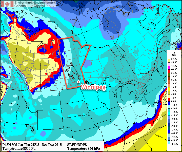
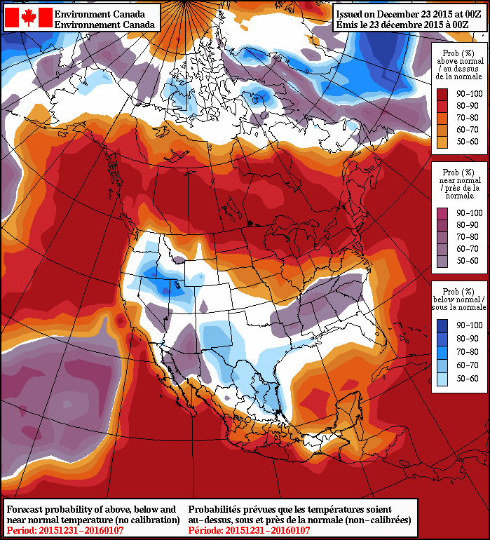
By Friday, the warm air begins surging over the province. The set-up for this delivery of warmth is a rather odd one; over the past couple days, an upper-level ridge has been building northwards over the B.C. coast, pushing warm air into Alaska and the Yukon. This upper-level ridge is forecast to spill eastwards over the Rocky Mountains and then build into the Central Prairies. This will release the built up warmth over the western Arctic and allow it to spill southeastwards across the Prairies. It’s certainly a rarity that Winnipeg sees warm advection in a northwest flow, especially in January of all months. The leading edge of the warm air should help temperatures climb to around -5 or -4°C with a bit of a westerly to northwesterly breeze. Skies should be fairly clear for the most part. Expect temperatures to dip down to the low minus-teens again on Friday night.

Long Range

Warm weather should persist through the weekend. A brief shot of cooler air on Sunday night could result in a few flurries on Sunday morning, but no significant snowfall is expected. Daytime highs through the weekend will likely sit near -3°C, although if everything were to happen perfectly, then a high near 0°C could be possible. Saturday looks mainly sunny at this point, while a bit more cloud is in store for Saturday night and Sunday.

Monday still looks quite mild with daytime highs close to the freezing mark, but then more seasonal air works its way back into the region mid-week.

Seasonal daytime highs for Winnipeg at this time of year are near -13°C. Seasonal overnight lows are near -23°C.

Seasonal Christmas Leads to Cold Weekend

Winnipeg will see seasonal weather for Christmas Day with a slight chance elf some flurries as some cloud works its way across the region. Temperatures will plummet this weekend, however, as the first large Arctic ridge of the winter builds over the Prairies.

Merry Christmas from the crew here at A Weather Moment! We hope that you have a great few days however you spend them! Shift workers, thank you for continuing to do your work through the holidays so we can continue having the services we rely on!

Today will be a fairly unremarkable day with seasonal weather through Winnipeg and the Red River Valley. A weak disturbance moving across the province will bring mixed skies with just a very slight chance of some scattered light flurry activity as temperatures recover to around -12°C by early in the afternoon. It’s downhill after that, though, courtesy a building Arctic ridge that will push the cloud out of the region and bring colder air across the Prairies.

NAM Forecast Tempreature & Pressure valid Friday Night
This NAM forecast shows the very cold temperatures over the Prairies on Friday night as the Arctic high builds into Manitoba from Saskatchewan.

Temperatures will fall to around -25°C tonight. Saturday will bring a few clouds through the region and significantly colder temperatures with daytime highs of just -18 or -17°C. These highs are around 5°C below average for this time of year. Tonight will see temperatures fall to around -23 or -24°C with some scattered cloud.

Sunday will be a final cold day as the ridge slides to our south and southeasterly outflow winds set up over the region. Expect mixed skies and a high near -16°C. A developing low pressure system is forecast to begin spreading warmer air and cloud eastward across the Prairies on Sunday night, signalling an end to the cold snap. Temperatures will drop to around -24°C in the evening before a warming trend kicks in with the cloud. At this point, it looks like temperatures will rise to around -15°C by Monday morning. There’s some uncertainty with this system, though, and if it’s slower to develop than expected, the warmer air may not arrive until during the day on Monday.

Long Range

Next week is looking fairly nice, although the sun may be a rare site. With the arrival of the next system on Monday, warmer weather will move into Winnipeg for much of the remainder of the week. Daytime highs will likely be a bit above seasonal, around the -10°C mark, but those warmer temperatures will once again be accompanied by a lot of cloud. Much of the week will bring the potential for some flurries, but a more organized system looks possible mid-week that could bring another 4-8cm of snow to the region.

A brief shot of cold air rounds out the end of the week before a surge of very mild air moves in for early January, with the prospect of highs near the 0°C mark returning. So if we just need to make it through this one cold snap, then we’re back on a trend towards very mild winter weather!

A Seasonal Christmas Ahead; Cold This Weekend

Light snow will taper off and lead towards a seasonal Christmas this year with a chance of flurries, but perhaps one of the strongest shots of cold air seen this winter will move in for Boxing Day.

Light snow will persist through much of today thanks to a persistent area of snow hanging back into the Red River Valley. There will be a bit more accumulation; generally around 2-4 cm will fall today through the valley. The wind will be a bit chilly as it picks up out of the northwest to around 30 km/h with some gusts on top of that; with the fresh snow in place, it will likely be enough to produce localized areas of blowing snow and poor visibilities. With that north wind, we’ll see temperatures fall throughout the day to around -10°C by the evening hours, which will be just a couple degrees warmer than our overnight low of -12°C.

Thursday will see plenty of cloud lingering around in the Red River Valley. Temperatures will be nearly stagnant through the day, rising just a couple degrees by early in the afternoon before beginning to fall again, a casualty of the incoming Arctic air. It doesn’t look like snow will be much of an issue, though, so other than the cool temperatures, the day should actually be alright. Heading into the night, temperatures will drop to around -15°C under mostly cloudy skies.

GDPS forecast surface temperatures for Friday at 18Z
GDPS forecast surface temperatures for midday Friday

Friday, Christmas Day, will be a seasonal day thanks to a weak disturbance forecast to slip across the region, delaying the arrival of the colder Arctic air. With a daytime high of -12°C, temperatures will be nearly right on what’s seasonal for this time of year. A bit of very light snow is likely, but accumulations look to be minimal. Winds will shift around to the north and begin ushering in colder air late in the day. Expect an overnight low on Friday night dipping into the -20’s, likely around -22°C or so with clear skies beginning to develop over the region.

Long Range

The weekend will start with a miniature deep freeze, at least by the standards 2015 has set so far. Saturday will see clear skies and daytime highs struggling to climb even towards the mid-minus teens, likely ending up somewhere between -20 and -15°C. Fortunately, the cold weather will be short lived with a surge milder air returning for Sunday and returning daytime highs close to the -10°C range.

NAEFS 8-14 Day Temperature Anomaly Forecast valid December 31, 2015 to January 7, 2016

Heading into the longer-range, there’s very strong agreement that a return to significantly above normal temperatures will return to the region for the new year. The NAEFS is actually forecasting a significant stretch of daytime highs likely in the -10°C to -5°C range for the first week of January. So just get past this weekend and rest easy knowing that relative warmth is on the way!

The seasonal temperatures for Winnipeg right now are daytime highs of -12°C and overnight lows of -22°C.

Seasonal Weather with a Bit of Snow

Calmer weather is settling into Southern Manitoba after a Colorado Low dumped 10–20cm of snow over the Red River Valley, quickly turning an area that still had substantial amounts of snow-free ground into a winter wonderland.

Today will bring mixed skies to Winnipeg & the Red River Valley as cloud left behind from this week’s storm straggles over the region. Temperatures will be much closer to seasonal than we’ve experienced over the last several weeks. Today’s high temperature will be around –13°C, actually a couple degrees below the seasonal high temperature of –11°C. With some clear patches working their way into the Red River Valley this evening, the overnight low will manage to drop all the way down to a seasonal –20 or –21°C.

RDPS Precipitation Forecast valid 18-06Z December 19/20, 2015
The RDPS shows a swath of snow pushing across Southern Manitoba late Saturday

Saturday will see more cloud spreading into Southern Manitoba as a mid-level disturbance tracks along the international border. As the system approaches, an area of light snow will spread across the region. Total snowfall is expected to be light, with just 1–2cm over the Red River Valley. Further north through the Interlake could see a tad more snow with total amounts in the 2–4cm range. Temperatures will remain cool with daytime highs near –12°C. Winds will be a bit breezy out of the southeast at 20–30km/h.

The extensive cloud cover at night will moderate the overnight low, with temperatures dropping to just –14 or –15°C. The winds will diminish early in the evening.

Sunday will continue with mixed skies, but temperatures will be quite a bit warmer than Friday or Saturday as daytime highs climb towards –8°C with light northwesterly winds. Not much else to talk about for the end of the weekend as skies clear and temperatures dip back into the mid-minus teens on Sunday night.

Looking Ahead to Christmas Week

Next week is looking great considering we’re moving into the second half of December. The northwesterly flow aloft which is giving us this outbreak of more seasonal temperatures is forecast to be replaced by a more zonal (west-to-east) or southwesterly flow aloft, which will help milder air spread over the southern Prairies.

We may see a few bouts of light snow next week while we enjoy warmer-than-seasonal temperatures in the –5 to –10°C range.