Warmer Temperatures Return to Southern Manitoba

An upper ridge will bring summer heat back into southern Manitoba!

Temperatures will climb back above seasonal values through the later half of the week in Winnipeg as an upper ridge pushes eastwards into the region. Today, a ridge of high pressure will sit over the province and keep winds light under mainly sunny skies. Temperatures in Winnipeg will climb to a seasonal high of 26 °C this afternoon. Tonight will be comfortable with clear skies, light winds, and a low near 14 °C.

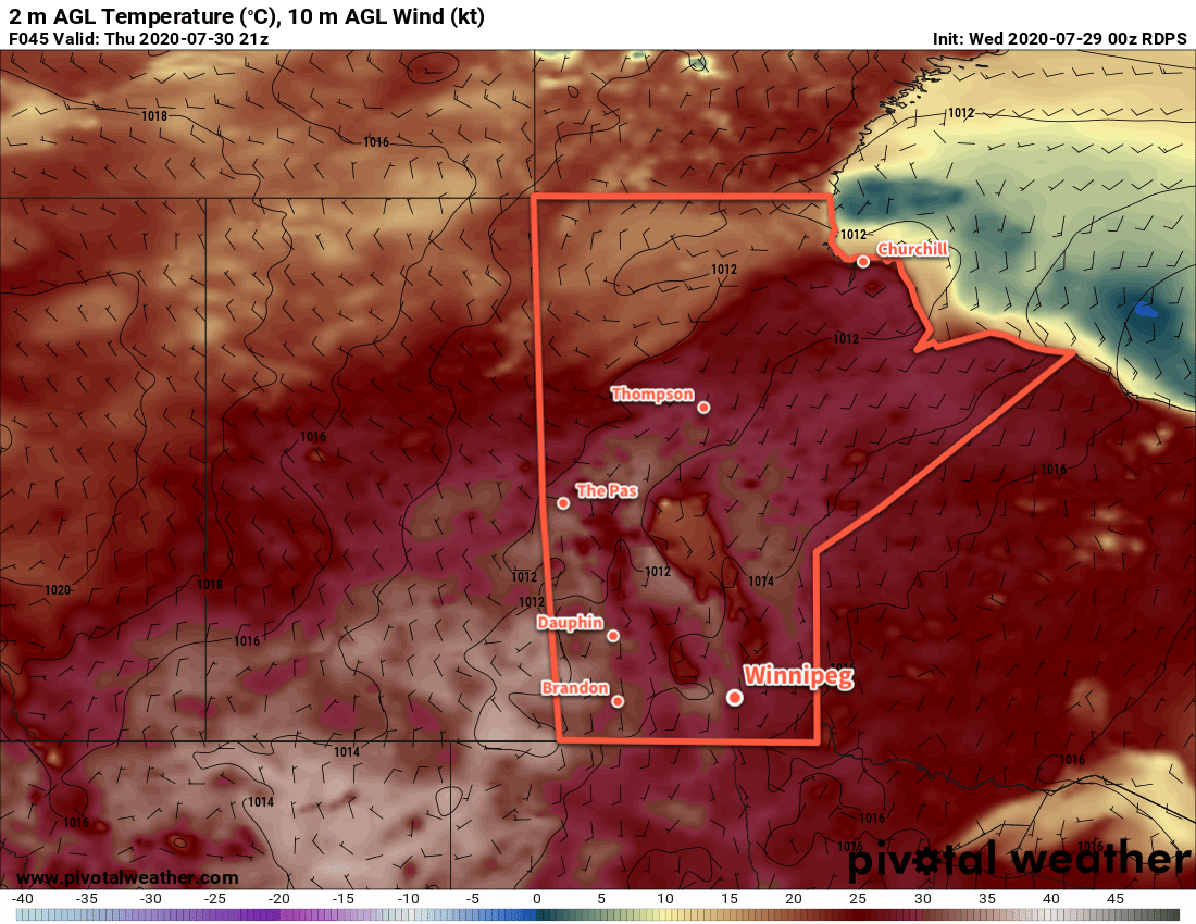
On Thursday, temperatures will begin to climb as light southerly winds bring warmer air into the region. Temperatures will climb to a high near 30 °C in Winnipeg with comfortable humidity levels and mainly sunny skies. Thursday night will be mild with a low near 17 °C.

RDPS 2m Temperature Forecast valid 21Z Thursday July 30, 2020
Temperatures will climb into the low 30s across parts of southern Manitoba on Thursday.

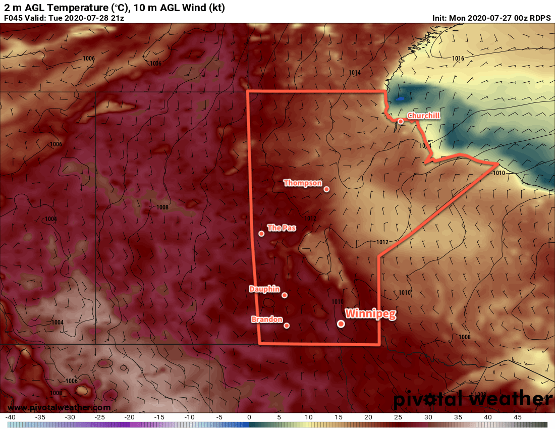
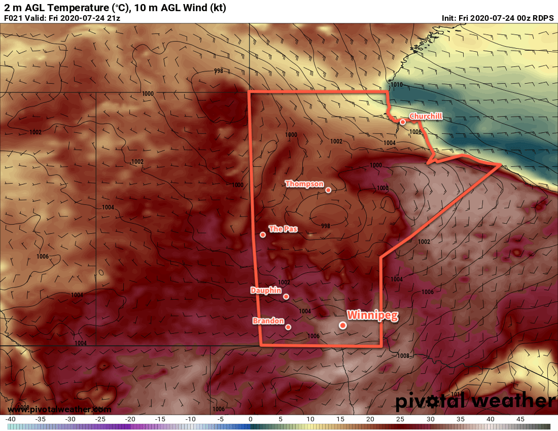
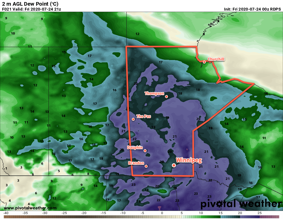
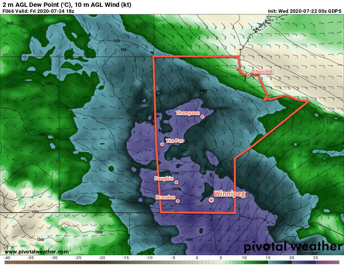
Seasonably warm conditions will continue on Friday, but some unsettled weather will be possible as a weak cold front pushes through the region. Temperatures will climb to a high near 28 °C with mixed skies through the day. As the front moves through, there will be a chance of showers and thunderstorms, likely later in the morning through midday. Northerly winds will push in behind the front up to 30 gusting 50 km/h for the afternoon. Skies will clear out with easing winds on Friday night with a low near 16 °C.

Long Range Outlook

Calmer conditions will return for the weekend with plenty of sunshine and seasonal temperatures.

Today’s seasonal daytime high in Winnipeg is 26 °C while the seasonal overnight low is 13 °C.

Pleasant Summer Weather Ahead

Winnipeg will see pleasant summer conditions with near-seasonal temperatures over the next few days.

It’s a nice, short forecast to start the week for Winnipeg. The driving weather features over the coming days will be a departing upper low over Ontario and gradually building upper ridge over the western Prairies. These two things combined will result in near-seasonal temperatures through the next few days with comfortable humidity levels. The city will also see plenty of sunshine over the coming days.

RDPS 2m Temperature Forecast valid 21Z Tuesday July 28, 2020
Southern Manitoba will see seasonal to seasonably warm temperatures through the first half of the week.

The winds will be breezy today and gradually ease as the week progresses. The city will see northwest winds near 30 gusting 50 km/h today, then northerly at 20 to 30 km/h on Tuesday. Winds should stay light on Wednesday.

Long Range Outlook

Temperatures will warm up into the upper 20s for the end of the week, but the city will still see plenty of sunshine. The potential for unsettled weather may develop on Friday night into the weekend.

Today’s seasonal daytime high in Winnipeg is 26°C while the seasonal overnight low is 13°C.

Hot and Humid with Risk of Thunderstorms

Hot, humid conditions will bring a chance of thunderstorms to Winnipeg over the next couple days.

Winnipeg will see sweltering heat today as a hot, humid air mass settles over the region. The day will start with some cloud as thunderstorms push northeastwards over the province. This activity should stay north of the city, but the southern end may end up grazing the city if it extends further south than expected. After that activity pushes off, temperatures will soar to a high near 33°C under partly cloudy skies. With dew points near 20°C, the muggy conditions will produce humidex values near 40 in the afternoon. Winds will be breezy this morning out of the southeast, but will shift to the southwest for the afternoon at 20 to 30 km/h.

RDPS 2m Temperature Forecast valid 21Z Friday July 24, 2020
Southern Manitoba will see some of the warmest temperatures so far this year with temperatures climbing into the low to mid-30s.

More cloud cover will move in tonight as temperatures head to a low near 21°C. Thunderstorms will develop over North Dakota this evening and gradually push northeast. Winnipeg will see a chance of thunderstorms overnight into early Saturday morning as the area of storms lifts northeastwards.

Saturday will be another hot day with a high near 32°C after morning cloud clears out. The humidity will stick around for another day and produce humidex values in the upper 30s. A cold front will push eastwards through the region in the evening, bringing another risk of thunderstorms to the region. Some of these thunderstorms may be severe, so keep an eye on ECCC’s Thunderstorm Outlook in our Bulletin Viewer for updated details on any severe weather threat.

RDPS 2m Dew Point Temperature Forecast valid 21Z July 24, 2020
A muggy air mass will sit over Manitoba on Friday and Saturday.

Cooler and drier air will move into the region for Sunday in the wake of the cold front. Under mainly sunny skies, Winnipeg should see temperatures return to seasonal values with a high near 26°C. Winds will be fairly breezy out of the west at up to 30 gusting 50 km/h. The city will see a low down to around

Long Range Outlook

Next week looks to bring seasonably mild temperatures to Winnipeg with plenty of sunshine. The next notable chance for showers or thunderstorms looks to arrive mid-week.

Today’s seasonal daytime high in Winnipeg is 26°C while the seasonal overnight low is 13°C.

Sweltering Summer Heat Returns To Winnipeg

A hot and increasingly humid air mass will bring sweltering summer heat back to Winnipeg.

Get the sunscreen out and make sure that A/C is working: sweltering summer conditions are on their way to Winnipeg! An upper ridge will develop a deep southerly flow through the American Plains and southeastern Prairies, pushing heat and humidity northwards into the region.

Today, Winnipeg will see a high near 27°C with brisk southerly winds of 30 gusting 50 km/h develop. A passing upper disturbance will bring a few clouds to the region this morning, followed by mainly sunny skies for the afternoon. Humidity levels will stay comfortable today. The winds will persist out of the south at around 20 km/h tonight with clear skies and a low near 16°C.

On Thursday, the southerly winds will pick up to 40 gusting 60 km/h as muggier conditions develop over the region. The city will see a high near 29°C with dew points climbing into the upper teens. The muggier conditions will be slightly offset by the wind, but it’ll still feel fairly muggy. Winds will keep up out of the south at around 30 km/h on Thursday night with a low near 20°C.

GDPS 2m Dew Point Temperature Forecast valid 18Z Friday July 24, 2020
Very muggy conditions will develop over southern Manitoba on Friday.

A trough of low pressure pushing eastwards on Thursday night will bring a risk of thunderstorms to southern Manitoba. For Winnipeg and the Red River Valley, the main threat looks to exist between 4 A.M. and 7 A.M. early Friday morning. These thunderstorms, if they develop, could be severe with a primary threat of damaging wind gusts and large hail. Rainfall with these thunderstorms may be intense, but the storms will be moving quickly which will limit accumulations.

Friday morning will see cloudy conditions in the wake of any potential convection, then skies should mix out midday. It will be an oppressively hot afternoon in Winnipeg with a high near 34°C and dew point in the low 20s. Humidex values in the the low 40s will seem even more oppressive as winds ease in the afternoon.

Winnipeg will see partly cloudy skies on Friday night with a low near 22°C.

Long Range Outlook

Saturday will bring more hot and humid weather to Winnipeg alongside unsettled conditions as a cold front sweeps through later in the day. Brisk northwest winds will bring seasonal conditions and plenty of sunshine back to the region for Sunday. Next week looks to bring seasonably mild conditions with plenty of sunshine and comfortable humidity levels.

Today’s seasonal daytime high in Winnipeg is 26°C while the seasonal overnight low is 13°C.