Beautiful summer conditions lie ahead for Winnipeg this weekend!
A building upper ridge will bring plenty of sunshine to the region over the coming days with seasonal temperatures. Right through the weekend, Winnipeg will see daytime highs near 26 or 27°C and lows in the mid-teens. Winds on Friday will be out of the northwest at 15 to 25 km/h, then they’ll ease to light and variable for the weekend.
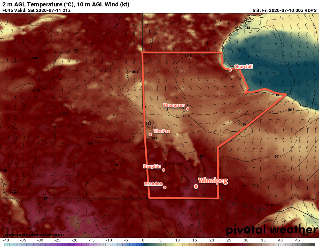
Seasonably warm temperatures will continue across southern Manitoba this weekend.
A disturbance embedded within the building ridge will move across the region on Saturday morning, bringing some cloud to the region. No rain is expected in Winnipeg with this system, instead any precipitation is forecast to stay west of the Red River Valley. This cloud will break up for the afternoon hours and then clear out by the evening.
Long Range Outlook
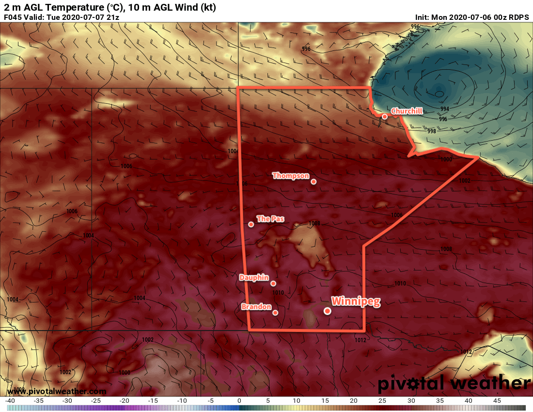
Next week will kick off with a low moving through the province that could bring more rain and/or thunderstorms to the region. After that, though, it looks like a return to pleasant summer conditions. Near-seasonal highs with comfortable humidity look to persist right through the week.
Today’s seasonal daytime high in Winnipeg is 26°C while the seasonal overnight low is 13°C.
An upper low moving through the province will bring occasionally unsettled weather over the next couple days.
Today will start off with the leading feature of this upper low moving through the province. For the early morning hours, a band of showers and thunderstorms will move through the Red River Valley. Cloudy skies and muggy weather will persist until midday when a cold front moves through. There will be a slight chance of a shower or thunderstorm as the cold front moves through, then clearing will push in from the west. Temperatures will climb to a high near 26°C in the afternoon sun with breezy west-southwest winds near 30 km/h. Skies will stay mainly clear tonight with light southwest winds and a low near 16°C.
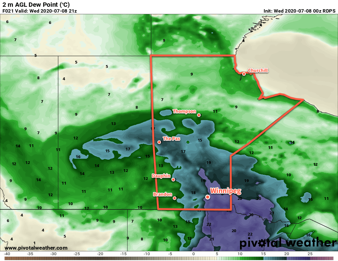
Muggy conditions will briefly return to the Red River Valley this morning.
The upper low itself will move through the region on Thursday. A mainly sunny start to the day will see skies become mixed as temperatures warm. The city will see a high near 24°C in the afternoon with westerly winds of 30 gusting 50 km/h. There will be a slight chance in the afternoon for some scattered showers or thunderstorms. Everything will settle down in the evening, leaving the city with many clear skies as temperatures head to a low near 14°C.
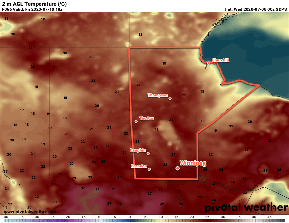
The week will end with temperatures returning to seasonal summer values in Winnipeg.
An upper ridge and associated surface high will begin working into the province on Friday. It will bring mainly sunny skies to the region and light winds. Temperatures will return to a near-seasonal high of 27°C. The city will see variable cloudiness on Friday night with a low near 15°C.
Long Range Outlook
Early indications are that the region will see a beautiful summer weekend with sunshine, highs in the upper 20s, comfortable humidity, and light winds. A weaker disturbance will be moving through Manitoba on Saturday, but at this point it looks like it won’t affect the Red River Valley. We’ll keep an eye on it and have more details on Friday!
Today’s seasonal daytime high in Winnipeg is 26°C while the seasonal overnight low is 13°C.
Winnipeg will finally get a break from the heat as seasonal temperatures with a marked drop in humidity return.
The next two days in Winnipeg will bring great summer weather to the region. The city will see plenty of sunshine with highs climbing to 30°C. Winds will be out of the west today at 20 to 30 km/h, but should be light on Tuesday. Most notable will be a notable drop in humidity; dew points should fall into the low to mid-teens today and stay there for Tuesday.
Hot weather will continue across southern Manitoba this week, but with less humidity.
A warm front will push northwards into the region on Tuesday night, spreading cloud back into southern Manitoba. On Wednesday, a breezy southeasterly wind will bring the heat and humidity back. Dew points will climb back towards 20°C with a high in the upper 20s. Skies should stay mostly cloudy through the day with ac couple chances for showers or thunderstorms. The first will be early in the morning as thunderstorms from the night may continue through the region. There will be another chance as a cold front pushes through later in the day.
Long Range Outlook
Thursday may bring more unsettled weather to the city, but then a building ridge of high pressure will bring sunny skies to end the week. Winnipeg will see highs in the upper 20s this weekend with plenty of sunshine and overnight lows in the upper teens.
Today’s seasonal daytime high in Winnipeg is 26°C while the seasonal overnight low is 13°C.
Warm and humid conditions will turn unsettled this weekend as an upper trough moves towards the region.
Winnipeg will continue to see seasonably warm and humid weather through the weekend. The biggest difference, though, will be increasingly unsettled conditions developing over the coming days. An advancing upper trough and several disturbances rippling through the region ahead of it will be responsible for ushering in the change.
Today, temperatures will quickly climb back up into the 30s with a high near 32°C this afternoon. Dew points will continue to hover near 20°C, producing humidex values of 38 to 40. The city will see increasing cloud this evening, but thunderstorm activity this evening will likely stay to east and south. Temperatures will head to a low near 20°C tonight.
Saturday will be a rather unsettled day across the region as an upper trough moves in. Skies will be mostly cloudy through the day and showers and thunderstorms will blossom across the region in the morning. Winnipeg will most likely see at least some of this activity, if not much of this activity. With the humid air mass still in place, the thunderstorms may be severe with the primary threats of localized flooding due to torrential rains and damaging hail. It won’t be stormy all day, but the potential for thunderstorms will persist right into the night before settling down early Sunday morning.
MLCAPE values – a measure of how much energy thunderstorms can extract from the atmosphere to work with – will climb to high levels on Saturday over the Red River Valley ahead of an approaching upper trough.
Mostly cloudy skies will continue on Sunday with fairly benign weather over the region. It will still be warm and humid, and calm winds will make it feel rather sticky. A cool front pushing through in the evening will again bring the risk of (severe) thunderstorms to the region. Conditions will settle down overnight with pleasant weather returning for the start of next week.
Long Range Outlook
Next week will kick off with a nice break from the heat. Highs will still climb into the upper 20s, but the humidity will drop off to much more comfortable values. Unsettled conditions will redevelop mid-week with increasing humidity as a low pressure system moves through the region.
Today’s seasonal daytime high in Winnipeg is 25°C while the seasonal overnight low is 13°C.