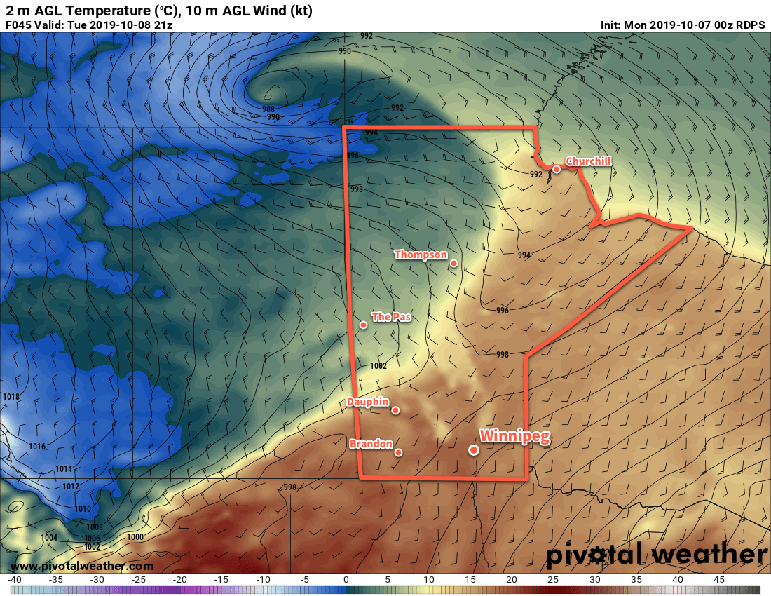
A potent Colorado low will bring the first blast of winter to southern Manitoba in the form of a high-impact storm.
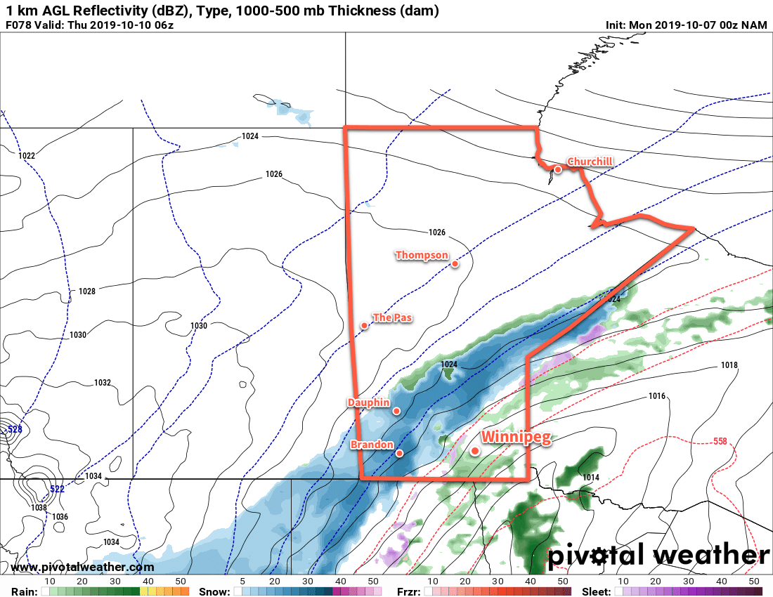
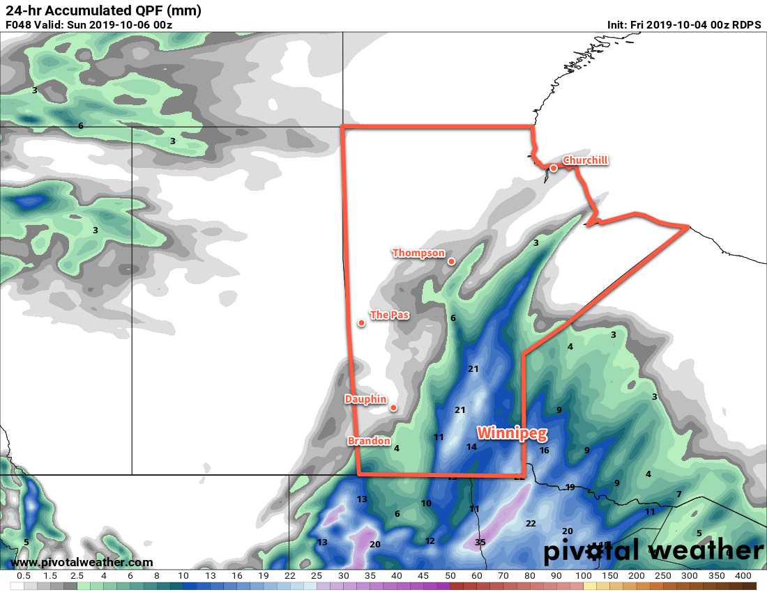
A developing Colorado Low will spread several waves of precipitation across southern Manitoba over the next few days. It all begins later today as light rain moves into the Red River Valley from the west.1 The rain will weaken overnight, but the next wave of precipitation will surge northwards early Thursday. This will fall as rain over SE Manitoba and change to snow across the Red River Valley. For many areas, it likely means a winter mix through the day.
Forecast precipitation amounts are high, with 15 to 25 mm forecast for the region. Any areas that see more of this as snow than rain could end up with a good 10 to 15 cm of wet, heavy snow by the end of the day. In Winnipeg, it looks likely that the city will see a mix of rain and snow through much of the day, changing to snow at night.
Another wave of precipitation will move through on Friday, bringing more rain and snow to the region. Another 15 to 30 mm is possible Thursday night through Friday, bringing storm-total precipitation into the 30 to 50 mm range.
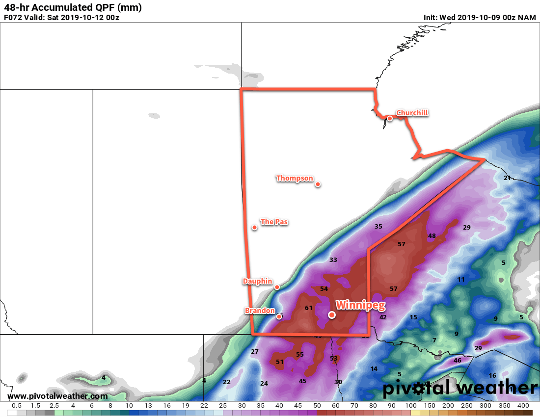
Where exactly the transition from snow to rain occurs will need to be determined as the event itself develops, but we feel this is the most likely outcome. Different areas will see varying amounts of snow and snow accumulation based on where that line sets up. In the hardest hit areas, snowfall in excess of 25 cm may be possible. As mentioned before, the snow will be heavy and wet. Other areas may see upwards of 50 mm of rain. No matter how it falls, a lot more water is on the way for southern Manitoba.
Follow our twitter account for short-form updates as this system develops. If you are travelling in the coming days, know that the weather will be similarly poor across eastern North Dakota and adverse to dangerous driving conditions may develop.
In addition the precipitation, this storm will bring strong northerly winds and cool temperatures.
The cooler air will surge into the region today, sending temperatures falling to +4°C by the end of the afternoon. As the precipitation moves in tonight, temperatures should fall further to around +1°C by Thursday morning. Through the rest of the work week, temperatures will hover within a degree or two of the 0°C mark.
Winds will pick up out of the north into the 30 to 40 km/h range today, then strengthen to 40 gusting 60 km/h on Thursday. On Friday, winds may reach 50 gusting 70 km/h in some areas, especially in the lee of the lakes. In areas where these strong winds can combine with snow, visibilities will be severely restricted and the winds may produce damage add stress above and beyond the heavy loading from the wet snow.
One of the larger areas of uncertainty is on Friday. Forecast models diverge on where exactly the low centre goes, and some are bringing it relatively far west into southeastern Manitoba. If that occurred, it would be likely that Winnipeg, the eastern Red River Valley, and the southeastern corner of the province would be spared from much of the precipitation. We’ll be keeping an eye on things to see how they develop.
Long Range Outlook
A wintery mix of precipitation will likely persist through much of Saturday, tapering off to a chance of showers or flurries on Sunday. Temperatures will remain cool with highs of just 2 or 3°C and lows near +1°C. No significant precipitation is forecast into next week, although temperatures will remain well below seasonal values right into the end of the work week.
Today’s seasonal daytime high in Winnipeg is 12°C while the seasonal overnight low is 1°C.
- West of the Red River Valley, it will fall as snow instead. ↩