After a warm end to the week, Winnipeg will see mixed skies and cooler weather for the weekend.
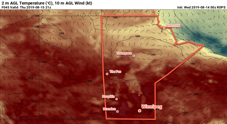
Temperatures will climb into the upper 20s in Winnipeg today as a seasonably warm air mass moves through the region. Under mainly sunny skies and with light winds, Winnipeg will see a high near 28°C this afternoon. A trough of low pressure will move through overnight bringing mixed skies and a mild low near 16°C.
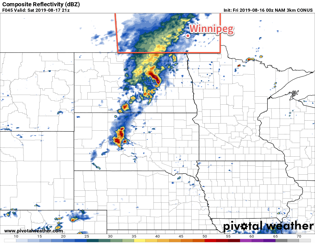
A cold front will move through early Saturday morning and usher in west-northwest winds of 20 to 30 km/h. Behind the front, skies will stay mostly cloudy for the rest of the day. A secondary disturbance moving across North Dakota will bring a chance of showers on Saturday afternoon as an area of rain extends northwards and moves across the Red River Valley into the Whiteshell. All these things together will result in seasonably cool temperatures with a high near 22°C. Skies will clear and the wind will ease on Saturday evening as temperatures head to a low near 10°C.
Sunday will bring a return to normal temperatures with a high near 25°C. As it warms up, southwesterly winds of 20 to 30 km/h will develop alongside mixed skies. After a pleasant afternoon, winds will ease and skies will gradually clear as temperatures head to a low near 14°C on Sunday night.
Long Range Outlook
The beginning of next week looks to start with a fair amount of sunshine and near-seasonal temperatures. Some forecast models show the potential for showers both Monday and Tuesday nights, but confidence is low right now.
Today’s seasonal daytime high in Winnipeg is 25°C while the seasonal overnight low is 12°C.