Another bout of ugly winter weather is on the way this week as two back-to-back systems bring more snow to southern Manitoba.
Today will be one of the nicer days this week, although that’s not saying much. We should see mainly sunny skies and temperatures just below the freezing mark, which is almost 10C below normal for this time of year. Winds will be light as we’ll be stuck under a surface high pressure system.
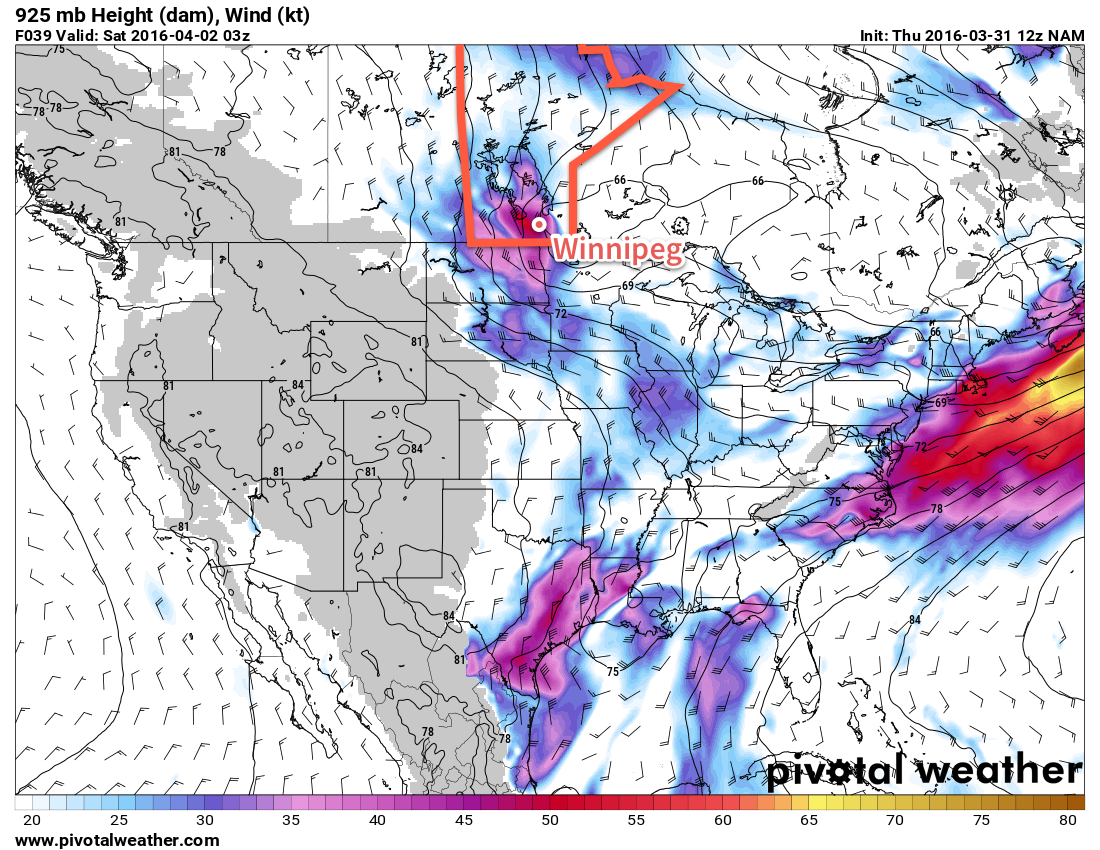
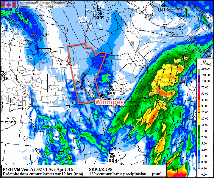
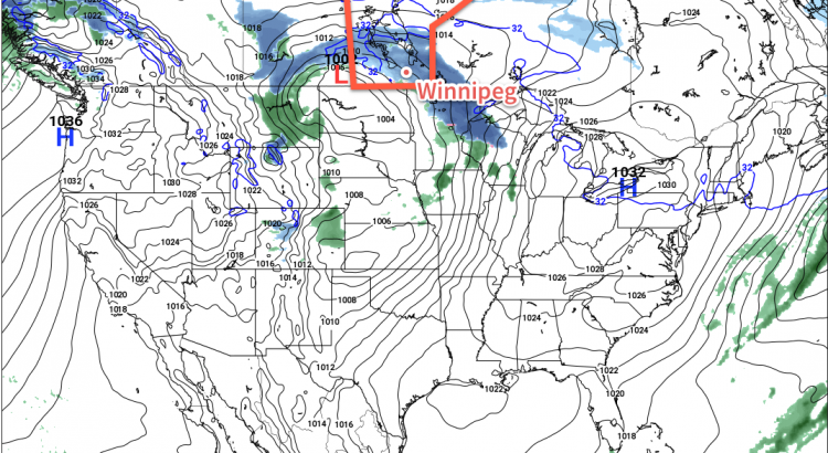
The weather will begin to turn ugly early on Tuesday morning as a low pressure system pushes snow into southern Manitoba. A band of moderate to heavy snow is expected on Tuesday morning as the system initially pushes into the region. This band will likely persist for only a few hours before snow rates become lighter. However, light snow is expected to continue off and on for most of Tuesday, pushing total snow accumulations into the 5-10 cm by the time this system moves out late on Tuesday. Gusty north winds are expected to develop on Tuesday night, causing poor visibility in open areas.
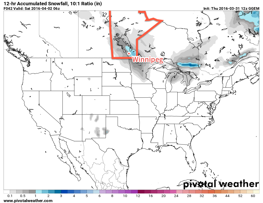
Wednesday will see yet another low pressure system bring additional snow to southern Manitoba. This round of snow is expected to push in later in the day, bringing another 2-6 cm by Thursday morning. It’s a bit early to be very confident in the amount of snowfall this system will bring, so check back for updates as the week progresses.
Long Range
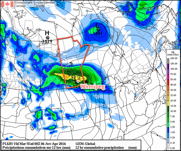
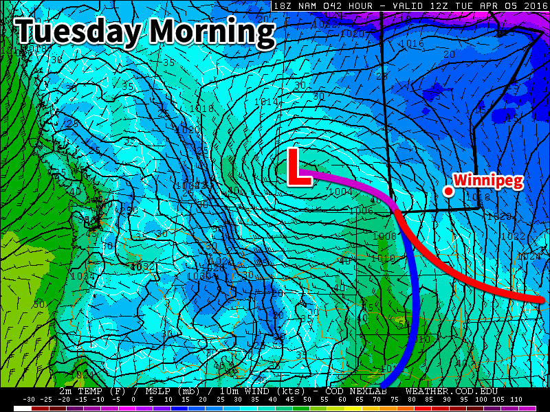
The long range forecast doesn’t show any indication of improving weather for the next while. Conditions are generally expected to remain at or below normal for most of the first half of April. More snow isn’t out of the question either, so don’t take off those snow tires just yet!