Slowly Improving Weather in Store

The weather will slowly improve over the next couple days as some warm air begins to slowly push across the Prairies.

3hr. Cumulative Precipitation for late this afternoon

3hr. cumulative precipitation from the RDPS for late this afternoon.

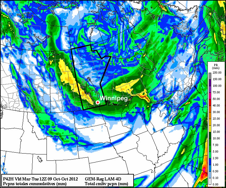
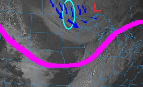
Today will remain mostly cloudy across Southern Manitoba with two main features to pay attention to. The first feature is a low pressure system that will slide from Southern Saskatchewan into North Dakota, bringing with it a chance of showers through southwest Manitoba through the morning and into the early afternoon. The second feature will be a trough slumping southwards through the Interlake into the Whiteshell. The southern extent of this trough will move through the Red River Valley in the late afternoon and evening, and as it enters the area, a few scattered convective showers or flurries will develop along it and move through the region. Whether we see rain or snow will depend on the exact timing of the system and what the temperature is; either way, accumulations will fairly insignificant and the showers likely won’t be widespread. Daytime highs will be around 6°C this afternoon.

After these systems pass, we’ll see skies slowly clear out overnight as temperatures drop to around the -3°C mark. A ridge of high pressure begins working it’s way into Manitoba; skies will remain mainly sunny as temperatures slowly climb. Tomorrow we should see daytime highs around 9°C through the Red River Valley, and increasing up to around 11°C for Friday. We’ll see a mix of sun and clouds on Friday as a weak system brings some cloud through the Red River Valley as it passes through central Manitoba.

The weekend looks relatively average, with no indications so far that any significant precipitation events are in store for us over the next week.

Gloomy Thanksgiving Monday

This Thanksgiving will be nothing like last year’s (which featured temperatures in the twenties), as rain and wet snow make for a rather miserable holiday Monday.

Total precipitation accumulation for Monday's system

The GEM model shows generally 10-20mm of precipitation over Southern Manitoba

A low pressure system sliding south-eastward through Manitoba on Monday will be responsible for the precipitation, with rain beginning to move into Southern Manitoba early Monday morning. Temperatures on Monday will be cool, but generally not cold enough for snow with values hovering in the mid single digits during the daytime. By evening there will be a changeover to snow in some areas, mainly portions of Western Manitoba, as colder air is pulled down from the north. Areas in the Red River Valley can expect a bit of wet snow late Monday evening into the overnight period, but with surface temperatures remaining above zero, no notable accumulation is expected. Total precipitation accumulations will generally range from 10 to 20mm across Southern Manitoba by early Tuesday.

Unfortunately, conditions will improve little for Tuesday. It will be a chilly start to the work-week as cold air pulled down by the previous day’s low pressure system will not allow temperatures to climb much higher than the mid single digits at best. Monday’s low pressure system will have departed by Tuesday morning, so no more significant precipitation is expected (save for perhaps a few scattered showers or flurries). At this point models keep us in the single digits for Wednesday as well, so even normal weather will continue to elude us.

The late week period looks to remain fairly miserable, with temperatures staying stuck in the single digits. No more significant precipitation is expected later this week.

Elsewhere in Weather News: October 6th, 2012

Record Early Snowstorm Hits Northern States

The same powerful low pressure system that brought the first significant snowfall of the season to Southern Manitoba dropped copious amounts of snow south of the border. A surface low pressure system that was moving in a north-easterly fashion combined with a deepening upper low through the area resulted in a record-breaking early winter storm this past week in North Dakota and Minnesota.

Visible satellite

Image of visible satellite taken on Friday afternoon. Large upper low is located in NW Ontario with jet stream in pink and cyan circled area the hardest hit areas. (Image source: COD)

Impressive snowfall totals were recorded in Northern Minnesota and North Dakota in the wake of the storm. Numerous cars were spotted in the ditches and tractor-trailers jackknifed in Northern Minnesota on Friday, due to treacherous road conditions. Around 3,000 people were out of power in the two states on Friday afternoon in the hardest hit areas. Woodridge, MB to Thief River Falls, MN received the heaviest bands of snow. Below lists some of the impressive amounts of snow accumulation recorded in Minnesota and North Dakota, as per reported by the National Weather Service:

  • Badger, MN (30 minutes south of Piney, MB): 30-36cm
  • Roseau, MN: 18cm
  • Grand Forks, ND: 9cm – A record for largest amount of snow to fall this early in the year (old record: 5cm)
  • International Falls, MN: 4cm – Also a record for the largest amount of snow to fall this early in the year (old record: 1.5cm)

(The remainder of the reports as of 3pm, Friday afternoon can be seen at http://www.crh.noaa.gov/news/display_cmsstory.php?wfo=fgf&storyid=87914&source=0)

This snowfall brings to a close (for now) the extreme fire danger in North Dakota and Minnesota whose conditions were similar to Southern Manitoba – extremely dry and windy. The Karlstad fire in Minnesota on October 3rd was fanned by severe 65km/h winds and drought conditions. In total, 31 buildings were destroyed; thankfully, no one was hurt.

Damage

Picture of the damage in Karlstad. (Source: MPL/Nathaniel Minor)

As the low pressure system continues to move further north-east, areas in Northern Ontario such as Timmins and Geraldton will experience their first snowfall of the year.

Improving Weather, But Remaining Cool

The effects from the low pressure system responsible for yesterday’s dump of snow over southeastern Manitoba will linger for one more day before moving off and returning us to sunnier skies.

Snow piles up on the Trans-Canada Highway

Snow resulted in the Trans-Canada highway being reduced to one lane each direction as numerous cars hit the ditch due to icy road conditions.

We’ll see widespread flurries over the Red River Valley today, however the potential exists for significant accumulation in the lee of Lake Manitoba and Lake Winnipeg. Brisk northerly winds, combined with strong instability over the still-warm lakes, will advect fairly strong lake-effect snow bands southwards off the lakes. These will be long, narrow features that will depend significantly on the wind direction. Currently, it appears that the heaviest flurry activity will be along a N-S line near Portage la Prairie, and another N-S line just east of Winnipeg. Should the winds back to a little more NE than northerly, Winnipeg could certainly see some of the action. Most locations that see just general flurry activity will likely receive 2-4cm of snow; how much actually stays on the ground will be highly dependent on what the pre-existing ground cover is like. Areas that have mostly bare ground right now should have enough heat coming off it to melt most of the new snow that falls. Areas in the eastern half of the Red River Valley, which already have had 10-20cm of snow fall, will definitely see the snow slowly pile up on top of the existing stuff. For those that get caught for any significant period of time under the lake-effect bands of snow, 5-10cm is certainly possible, if not even a bit more than that.

Winds will remain fairly strong today out of the north at around 40km/h with gusts to about 60km/h. Temperatures will struggle through the day, with plenty of cloud and cold advection occurring; we’ll probably only see 2°C or so..perhaps up to 3°C.

Things begin to improve tonight; winds will die down this evening and the cloud cover will start to clear as a ridge pushes into southern Manitoba from the northwest. Temperatures will hover around 0°C until the clouds break up, then temperatures will drop to about -5°C for the remainder of the night.

For Saturday, we’ll see sunny skies over southern Manitoba as we sit under the influence of an arctic ridge. Temperatures will only climb to about 7°C, so it will remain fairly chilly despite the sunshine.

On Sunday we’ll see increasing cloud throughout the day and a high of about 8°C. The cloud is coming ahead of a low pressure system dropping southwards from the Arctic along a reinforcing blast of cooler air. Showers will push into portions of the northern Red River Valley overnight, with the more organized precipitation looking to fall over the northern and eastern Red River Valley into the Whiteshell on Monday. Currently, it looks as though this precipitation will fall as rain.