The forecast is short and sweet to start the week: sunny and warm!
A broad upper ridge building across the Prairies has finally arrived in southern Manitoba. As a result, it will bring plenty of sunshine as temperatures climb into the low teens right through the next few days.
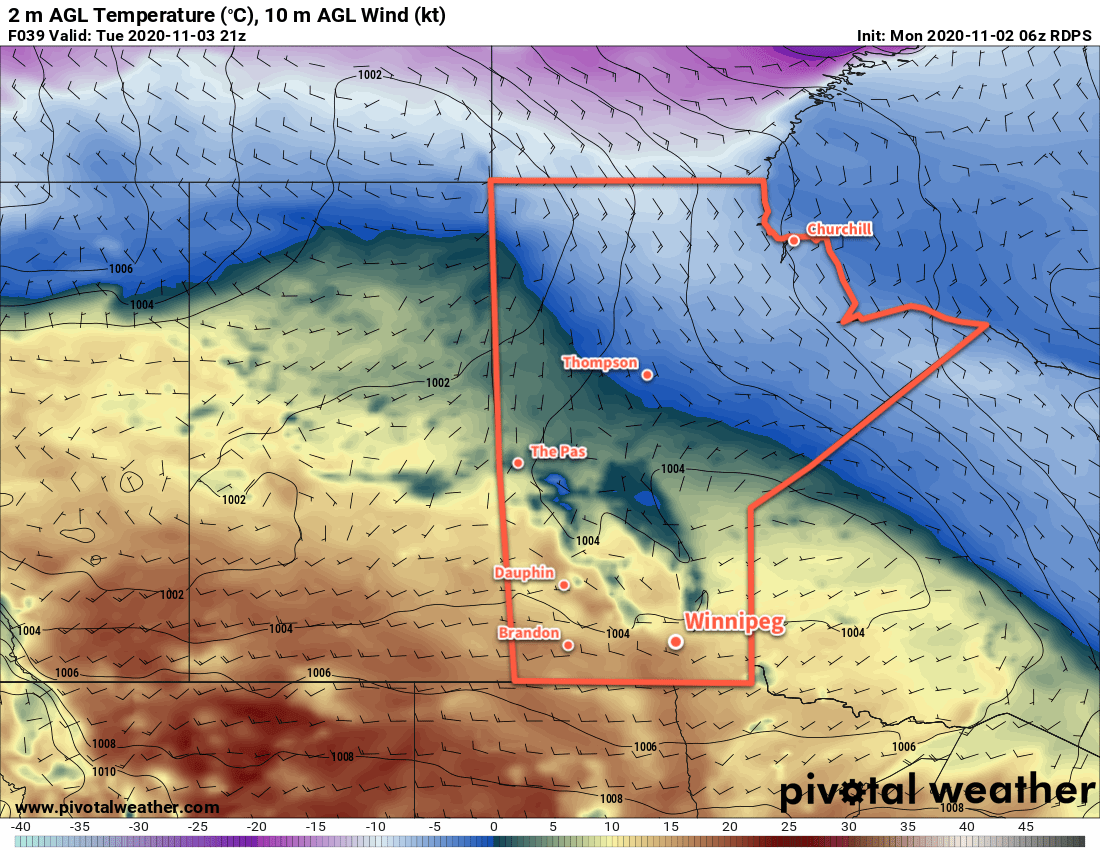
Winds will also be light through the coming days, generally no more than 15–25 km/h.
There really isn’t much to say! Enjoy this nice stretch of mild November weather!
Long Range Outlook
Conditions will turn cloudier towards the end of the week as the upper ridge begins to collapse and a couple lows track across the central Prairies. Temperatures will stay warm until Thursday, then begin cooling towards seasonal values.
Weather models are all showing a fairly potent winter storm developing this weekend in the form of a Colorado Low. There is still a large discrepancy on the track of the low, but there is good agreement that this storm could bring 20 to 30 cm of snow along a swath somewhere through the southeastern Prairies.
While there’s little agreement in where the snow will fall right now, but regardless of that, this system will usher in much cooler conditions for next week. Daytime highs will fall back below seasonal values through the first half of the week.
Today’s seasonal daytime high in Winnipeg is 3 °C while the seasonal overnight low is -6 °C.