A disturbance passing through southern Manitoba later today will bring light snow followed by moderate northwest winds. Colder air will slump into the region behind it for the end of the work week, but temperatures will rebound quickly through the weekend.
Winnipeg will sit under mainly cloudy skies today with southerly winds picking up to around 30 km/h ahead of a low pressure system moving in from the west. Temperatures will be mild with highs near -4 °C this afternoon. Light snow will move across southwest Manitoba today and reach Winnipeg by mid- to late-afternoon.
The snow will continue eastwards through the evening, tapering off to flurries overnight with around 2–3 cm of fresh snow left behind. Temperatures will dip to lows in the -10 to -5 °C range across the Red River Valley tonight.
It will be pleasant on Wednesday with highs again near -5 °C and westerly winds in the 20 to 30 km/h range. With that warmth will come more cloudy skies, though. A cold front will sweep through the region later Wednesday, bringing breezy northwest winds and cooling temperatures. Skies will likely clear out on Wednesday night, letting temperatures drop to a low in the mid-minus teens.
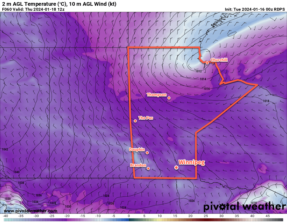
Thursday will finally bring sunshine to the region with northwest winds of 20 to 30 km/h and a high in the -15 to -10 °C range. Unfortunately, those winds will make it feel like it’s in the -20s. An Arctic high will continue to slump southwards through the Prairies through Thursday night; as it drops south, the winds will ease in southern Manitoba and temperatures will head to a low likely near -25 °C.
Long Range Outlook
Southern Manitoba will be under the grip of the Arctic high on Friday. The region will see plenty of sunshine with highs that struggle to climb into the -20 to -15 °C range.
The axis of coldest air will then shift off to the east for the weekend. Temperatures will return to near-seasonal values with breezy westerly winds on Saturday. The near-seasonal temperatures should persist into next week, then likely be followed with another surge of Pacific air that will send temperatures back towards freezing.
Fortunately, it looks like the region should see plenty of sun this weekend which will be a welcome change from the copious amounts of cloud cover the region has seen over the last while!
Today’s seasonal daytime high in Winnipeg is -9 °C while the seasonal overnight low is -19 °C.