A weak disturbance will bring slightly cooler and cloudier weather to Winnipeg on Wednesday, but mild temperatures quickly return.
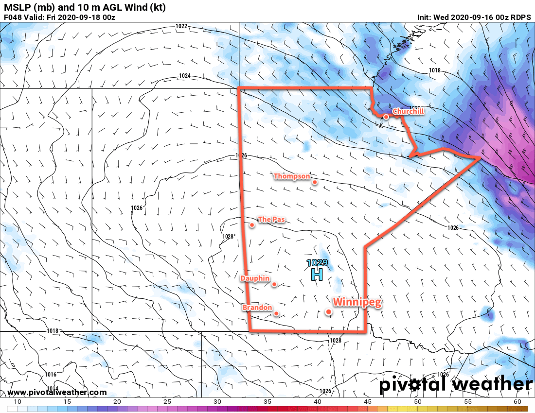
Two features will combine to bring a change in the weather to Winnipeg today. The first is a large area of high pressure tracking across the Prairies that will sprawl across Manitoba today. It will bring dry northerly winds of 20–30 km/h to the region today and cooler highs in the upper teens. The second is a weak mid-level disturbance that will move through the area. It will spread cloud cover into the Red River Valley through the morning and bring a chance of showers for the afternoon hours.
Skies will clear out in the evening with easing winds. A ridge from the high pressure system over the province will move into the Red River Valley overnight, sending lows to a seasonably chilly +3 °C.
The warm weather quickly returns to the region on Thursday as another low begins pushing eastwards across the Prairies. Winds will pick up out of the south into the 20–30 km/h range in the afternoon as temperatures climb to a high near 23 °C. A warm front will approach through the day, bringing partly cloudy skies to the region.
Skies will stay cloudy overnight with a chance of showers as a trough and cold front successively move through the area. The combination of cloud cover and persistent south wind will keep temperatures mild with a low near 14 °C.
Friday will be another warm day in Winnipeg. The city will see a high near 24 °C with a westerly wind near 20 km/h and partly cloudy skies. Not much else to say about the day; it’ll be a nice one! Temperatures will dip to a low near 10 °C under partly cloudy skies on Friday night.
Long Range Outlook
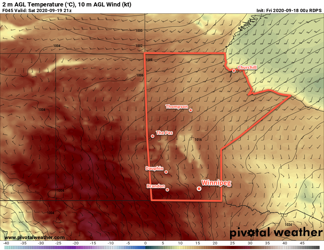
Winnipeg will see a mild weekend with highs near 20 °C and lows around 9 °C. Both Saturday and Sunday should bring partly cloudy skies with a slight chance of rain showers on Saturday. On Sunday night, a low will begin moving through the region, bringing rain through the region and ushering in strong northerly winds and a return to seasonal temperatures.
Today’s seasonal daytime high in Winnipeg is 16 °C while the seasonal overnight low is 5 °C.