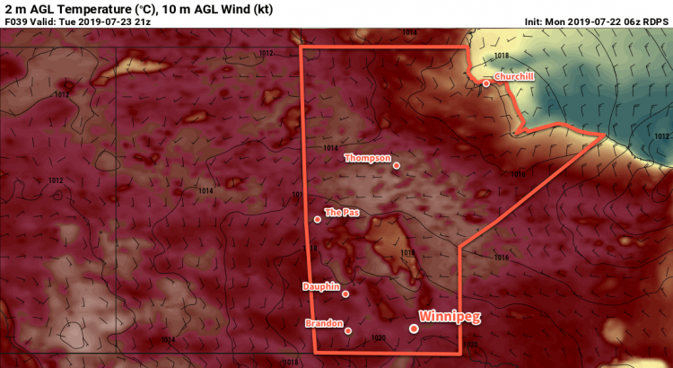
Sweltering summer heat will slowly build into Winnipeg this week as an upper ridge builds moves into the region.
The only significant weather feature for southern Manitoba over the next few days will be a potent upper-level ridge building into the region. As it approaches, daytime highs will slowly climb to around 30°C with overnight lows moving from the mid-teens to around 20°C.
Conditions will remain dry over the next few days with sunny to partly cloudy skies in place right through Wednesday. Overnight Wednesday into Thursday morning there may end up being a chance of showers or thunderstorms as a low pressure system begins moving eastwards across southern Saskatchewan.
Humidity levels should remain comfortable through the first half of the week.
Long Range Outlook
The heat continues into the second half of the week, but Thursday in particularly looks sweltering. As the low pressure system passes by to the north, dew points are expected to climb to around 20°C. Assuming that the region ends up seeing enough sunshine, this would produce humidex values in the upper 30s. The humidity will ease heading into the weekend, but temperatures should remain warm with highs in the upper 20s or low 30s.
Today’s seasonal daytime high in Winnipeg is °C while the seasonal overnight low is °C.
Winnipeg will get to enjoy sunny to partly cloudy skies right through the weekend.
Winnipeg will find itself between two main weather features today: a trough of low pressure laying across the Interlake, and a mid-level disturbance zipping along near the U.S. border. Not being directly affected by either system, the city will see plenty of sunshine today. With a few clouds grazing by, temperatures will climb to a high near 26°C. Winds will be breezy out of the west-southwest at up to 30 gusting 50 km/h. Skies will clear out tonight with winds easing as temperatures head to a low near 15°C.
Saturday will bring partly cloudy skies to the city again as a cold front slumps southwards. Winds will shift out to the north-northwest in the morning, picking up into the 20 to 30 km/h range. There might be a slight chance of a shower midday as the front passes, but it looks like things should stay dry. Temperatures will reach a high near 23 or 24°C behind the front. Winds will taper off in the evening as temperatures head to a low near 12°C.
On Sunday, a ridge of high pressure will slowly build into southern Manitoba. As a result, the city will see mainly sunny conditions with northwest winds around 20 km/h. Temperatures will climb to a high near 23°C, then dip to a low near 13°C on Sunday night.
Long Range Outlook
Next week will see temperatures climbing back into the upper 20s or low 30s as an upper ridge redevelops over the Prairies. Winnipeg should see plenty of sunshine through the first half of the week, then unsettled weather may return for the second half into the weekend.
Today’s seasonal daytime high in Winnipeg is 26°C while the seasonal overnight low is 13°C.
Winnipeg will see beautiful summer conditions this weekend with mild temperatures and plenty of sun.
Today’s forecast will be short and sweet as there isn’t a whole lot to say! Over the next few days, the large-scale pattern will shift as a cold trough exits northern Manitoba. In its place will be a gradually amplifying upper ridge. The result will be lots of sunshine and slowly warming temperatures.
For today, Winnipeg will see a high near 25°C with northerly winds picking up into the 20 to 30 km/h range. A couple clouds may move through in the morning, but all in all it should be a mainly sunny day. The winds will taper off tonight as temperatures head to a low near 8°C.
The high pressure centre will move through southern Manitoba on Saturday, bringing sunny skies and a high near 26°C. Winds will be light and variable. Skies will stay clear on Saturday night as the temperature dips to a low near 12°C.
On Sunday, Winnipeg will again see mainly sunny skies, but a light southerly wind near 20 km/h will send temperatures to a high near 29°C. Some cloud cover will likely push in late Sunday night with temperatures dipping to a low near 17°C.
Long Range Outlook
Winnipeg will see increasingly humid and unsettled conditions to start next week as the southerly winds continue and push moisture northwards into the region. Monday, Tuesday, and Wednesday could all bring showers or thunderstorms to the region. Temperatures will remain warm throughout, though, and the latter half of the week looks to be sunny with highs in the upper 20s.
Today’s seasonal daytime high in Winnipeg is 26°C while the seasonal overnight low is 13°C.
The second half of the work week will bring variable cloudiness with seasonal temperatures to Winnipeg.
Winnipeg will see fairly cloudy conditions today and tonight, a result of a persistent southwesterly upper-level jet over the region. Several disturbances will move through the region, bringing plenty of cloud cover and a few showers. While Winnipeg will see the cloud, any rain – what little may fall – will likely stay south of the city. With the generally cloudy conditions, temperatures should climb to a high near 23°C in the city. The winds should stay light out of the west or southwest. Much of the cloud will stay in place tonight with lows dipping to around 13°C.
Thursday will bring mixed skies as the cloud cover slowly clears out of the region. With more sunshine, temperatures will end up a bit warmer with a high near 25°C. Winds will again be relatively light at 10 to 20 km/h out of the northwest. Skies should clear out on Thursday night with temperatures dropping to a low near 13°C again.
On Friday, a ridge of high pressure will begin building into the province. As it moves in, it will bring mainly sunny skies and a high temperature near 24°C. Winds will pick up out of the north into the 15 to 25 km/h range in the morning. The high will continue building into southern Manitoba on Friday night, bringing clear skies and a seasonably cool low near 9°C.
Long Range Outlook
Heading into the weekend, upper-level ridging will begin developing as a cold low over the northern Prairies shunts off into eastern Canada. This will begin to push daytime highs back into the upper 20s with a developing southerly flow. With mostly sunny conditions expected on Saturday alongside the heat, the weekend looks set to bring some very pleasant summer weather!
On Sunday, things are forecast to become more unsettled as a train of shortwaves eject from an upper trough over the west coast and begin flattening the upper ridge. The first half of next week will likely bring several rounds of thunderstorm activity to the region, possibly every day between Sunday and Wednesday. Nocturnal convection is difficult to pin down at the best of times, so right now there’s no saying whether Winnipeg will see thunderstorms/rain or not. Just keep in mind that the possibility for them will begin to increase Sunday into the start of next week.
Before then, though, enjoy some relatively pleasant summer weather!
Today’s seasonal daytime high in Winnipeg is 25°C while the seasonal overnight low is 13°C.