Cold Weather Continues

Winnipeg will continue to see seasonably cold temperatures with benign weather through the weekend.

Manitoba will be unable to escape the grasp of an Arctic high that has been bringing extreme cold to Saskatchewan the last few days. Because of this, the next few days will bring fairly similar temperatures with quiet weather.

Today will bring diminishing winds with some cloudy periods as a bit of low cloud moves southwards out of the Interlake. After a clear start to the evening, a disturbance moving through the northern United States will spread cloud cover back into the Red River Valley overnight. Saturday will bring cloudy skies to the region, then clearing will follow on Saturday evening. Sunday will leave the area with mostly sunny skies.

This map of 850mb temperature anomalies shows the wide extend of colder-than-seasonal temperatures across the Prairies.

Temperatures all three days will be well below-seasonal. Friday will be the coldest with a high near -23°C, while the weekend will bring highs close to -20°C. Overnight lows for the upcoming 3 nights will hover close to -30°C.

Forecasts show a snow-free weekend for Winnipeg, although some light snow is possible close to the U.S. border on Saturday.

Long Range Outlook

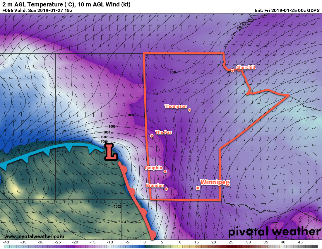
Next week will likely start with a return to near-seasonal temperatures as an inverted trough spreads cloud and snow across southern Manitoba. Winnipeg will return to slightly colder conditions midweek with variable cloudiness.

Today’s seasonal daytime high in Winnipeg is -9°C while the seasonal overnight low is -20°C.

Cold, Then Colder

Temperatures will remain well below normal in Winnipeg right through the weekend. Following that…it’s going to get even colder.

Winnipeg will remain entrenched in a very cold Arctic air mass over the next several days. The city will see sunny skies today, but some cloud will push into the region on Saturday afternoon as a warm front pushes eastwards through Saskatchewan. This warm front will produce a very strong temperature gradient over the eastern Prairies. By Sunday morning, temperatures will range from just above 0°C in Regina, SK to the low -20s in Winnipeg.

This extremely strong temperature gradient will provide plenty of energy for an Alberta clipper that will slide southeastwards along the front. As it moves through Saskatchewan on Sunday, it will spread an area of snow through western Manitoba into North Dakota as it drops southwards into the United States. It will be a cloudy day in Winnipeg with just a small chance of flurries. The snow should largely remain to the west of the Red River Valley. The heaviest snow will occur over southeastern Saskatchewan and southwestern Manitoba with up to 10 cm forecast by Sunday evening. It’s worth noting that if this system collapses southwards even a little, the heaviest snow could end up just from southeastern Saskatchewan into North Dakota.

A low pressure system will drop southeastwards through Saskatchewan on Sunday, ushering in another blast of cold Arctic air.

Winds will be relatively light today and tomorrow across the Red River Valley, but Sunday should bring eastern winds near 20 to 30 km/h as the low passes by.

Long Range Outlook

Next week looks bitterly cold. In the wake of the Alberta clipper, another surge of even colder Arctic air will flow southwards through the Prairies. Winnipeg will see daytime highs drop into the mid-minus 20s with overnight lows likely in the mid-minus 30s.

Winnipeg’s seasonal daytime high is currently -12°C while the seasonal overnight low is -23°C.

Winter Returns with Prolonged Cold Snap

Winnipeg will endure the first major cold snap of 2019 as the Red River Valley remains entrenched under an Arctic high right into the weekend.

Get the long johns out and plug in the heaters, bitter Arctic cold has arrived in Winnipeg. Conditions over the next few days will be stagnant as an Arctic ridge remains entrenched over the region. Daytime highs will climb to around -20°C over the next couple days, but a surge of even colder air will cause Friday’s high to dip towards the mid-minus twenties. Overnight lows will hover close to -30°C through the remainder of the work week.

Winnipeg will see plenty of sunshine over the next few days. The only exception will be a bit of cloud that will move through on Thursday morning, bringing with it a chance of flurries. Winds will remain light right through the remainder of the week, up to around 15 km/h.

RDPS 2m Temperature Forecast valid 12Z Thursday January 17, 2019
Overnight lows near -30°C will be commonplace through the remainder of the week.

Wind chill values will generally dip into the -30 to -40 range over the next few nights, but the weak winds make extreme wind chills below -40 a bit uncertain. There is a potential for extreme cold warnings on Thursday and Friday nights.

Long Range Outlook

The cold weather continues this weekend with daytime highs in the mid-minus twenties on Saturday and near -20°C on Sunday. The city will continue to see a fair amount of sunshine. Looking into next week, forecasts show the polar vortex breaking down and shifting northwards. This would bring a return to near-seasonal conditions, however more cold outbreaks will be possible through the remainder of the month.

It’s taken a while, but it seems like winter has finally arrived in full force. Bundle up, plug the car in, and keep warm!

Winnipeg’s seasonal daytime high is currently -13°C while the seasonal overnight low is -24°C.

Seasonably Mild Conditions Continue

Winnipeg will continue to see mild temperatures right through the weekend with variable cloudiness.

Mild weather will continue in Winnipeg today despite a weak cold front slumping southwards through the province. Temperatures will reach a high near -8°C today with light northerly winds of 15 to 25 km/h. Skies will remain cloudy through the day with just a slight chance of flurries.1 Temperatures will dip to a low near -14°C with the cloud cover breaking up a bit overnight.

On Saturday, a ridge of high pressure will move across southern Manitoba, bringing mixed skies and light winds. Temperatures will remain seasonably warm with a high near -8°C and winds will be light. Temperatures will dip to a low near -12°C as cloud cover increases as a warm front pushes through the region.

Sunday will bring cloudy skies to the region with temperatures in Winnipeg reaching a high near -6°C. Southerly winds near 20 km/h in place through the morning will diminish for the afternoon. Temperatures will remain mild through the night with a low near -11°C.

Long Range Outlook

Next week will begin warm, however forecasts suggest than a powerful cold front will push through mid-week. Its passage would usher in an outbreak of Arctic air, sending temperatures back down to typical “January in Winterpeg” values. Some weather models suggest that daytime highs will fall into the -20s by the end of the week. Forecasts show no snowfall over the next week.

Winnipeg’s seasonal daytime high is currently -13°C while the seasonal overnight low is -24°C.

  1. In our previous forecast we had mentioned periods of light snow, but made a note that the dry air outflow from the departing ridge could hold the snow off a little bit. Well…it’s turned out to be a lot of a bit as the snow that has attempted to fall over the city has not be able to overcome the dry low levels and has evaporated before reaching the ground.