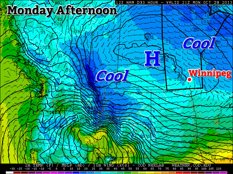
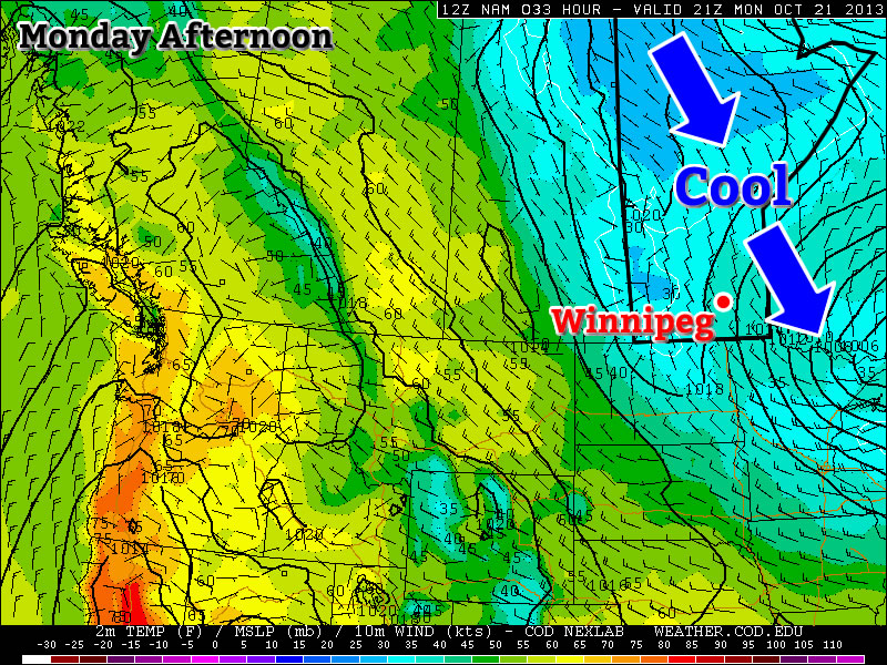
A high amplitude jet stream is bringing unseasonable weather to much of Canada.
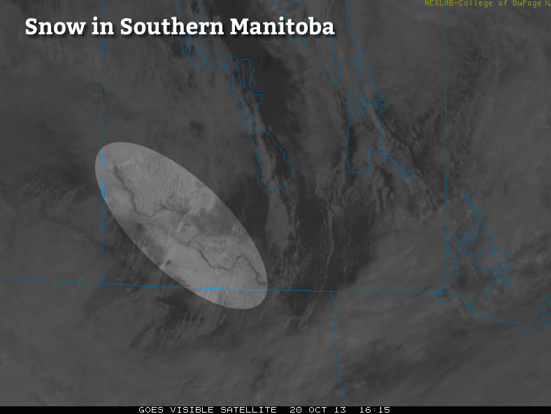
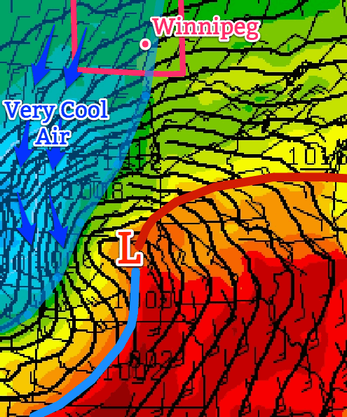
Temperatures will remain fairly cool through the next few days as Southern Manitoba remains entrenched in a pattern that has the jet stream diving through Saskatchewan well to our south, trapping cooler air over the area. In addition, snow will enter the picture as snow squalls batter areas in the lee of the lakes – in particular Lake Winnipeg – and a weak disturbance slides down from the North and brings flurry activity to many regions tonight.
Today
Wednesday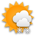 3°CMainly cloudy. Chance of flurries in the afternoon.
Through much of the Red River Valley today we’ll see mainly cloudy skies – perhaps with a sunny break or two – with the weather pattern being dominated by snow squalls coming off the lakes. While some squall activity is expected off of Lake Manitoba, with a band of snow extending SSE from the lake positioned between Portage la Prairie and Elie. More vigorous activity is expected off of Lake Winnipeg, where cooler air aloft will combine with favourable winds which will bring air not just over the South Basin, but over the North Basin as well. The cooler air aloft coupled with the air being over water for longer will combine to produce vigorous convection that will push SSE off the lake into areas around Beausejour and east.
The snow has the potential to be very heavy, producing near-whiteout conditions and rapid snowfall accumulation. Fortunately it will be confined to a fairly narrow corridor in the lee of the lake, but if you are expecting to travel east towards the Whiteshell today, you should be prepared for potentially encountering treacherous winter driving conditions.
Wednesday Night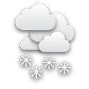 -2°CLight snow beginning in the evening.
Embedded above these local features will be a weak frontal wave sliding southwards along the baroclinic zone that is dividing the Prairies. This weak wave will bring light snow activity to the Interlake through the daytime today, pushing southwards and entering the northern Red River Valley by late in the afternoon or early evening hours. This light snow will push all the way south to the US border through the evening and persist through much of the night. No significant accumulation is expected from this system, although if it ends up intense enough then its possible some areas may awake to a cm or two on Thursday morning.
High temperatures will be around 2–3°C today throughout the Red River Valley while the ample cloud cover and light snow will limit our overnight lows to just around –2°C.
Thursday & Friday
Thursday4°C /
-4°CA mix of sun and cloud; chance of flurries in the morning.
Friday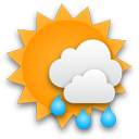 7°C
7°C /
0°CSunny becoming a mix of sun and clouds. Chance of showers.
Thursday will bring a mix of sun and cloud as the cloud from the overnight snow clears out but ample low cloud continues to flow off the lakes. There will be a chance of flurries in the morning as the overnight disturbance leaves the province, but little is expected otherwise. Some light snow may fall out of any clouds that wander through Winnipeg in the afternoon, but it would likely be exceptionally light if that were to happen.
Overall it will be a relatively nice, albeit cool, day. We’ll drop down to around –4°C under partly cloudy skies on Thursday night.
Friday will start with relatively clear skies but we’ll see things become more mixed as the day progresses. A significant low pressure system will be pushing through Northern Manitoba into NW Ontario dragging warm air with it across the Prairies; we’ll see southwesterly winds of 20–30km/h bring warmer air into the region as we head to a seasonal high of 7°C. There will be a chance of showers here in Winnipeg, although we look to be on the periphery of the system with the bulk of the precipitation falling through the Interlake into Southeast Manitoba. Friday night will bring partly cloudy skies and a low of about 0°C.