Seasonal Temperatures With A Chance of Unsettled Weather

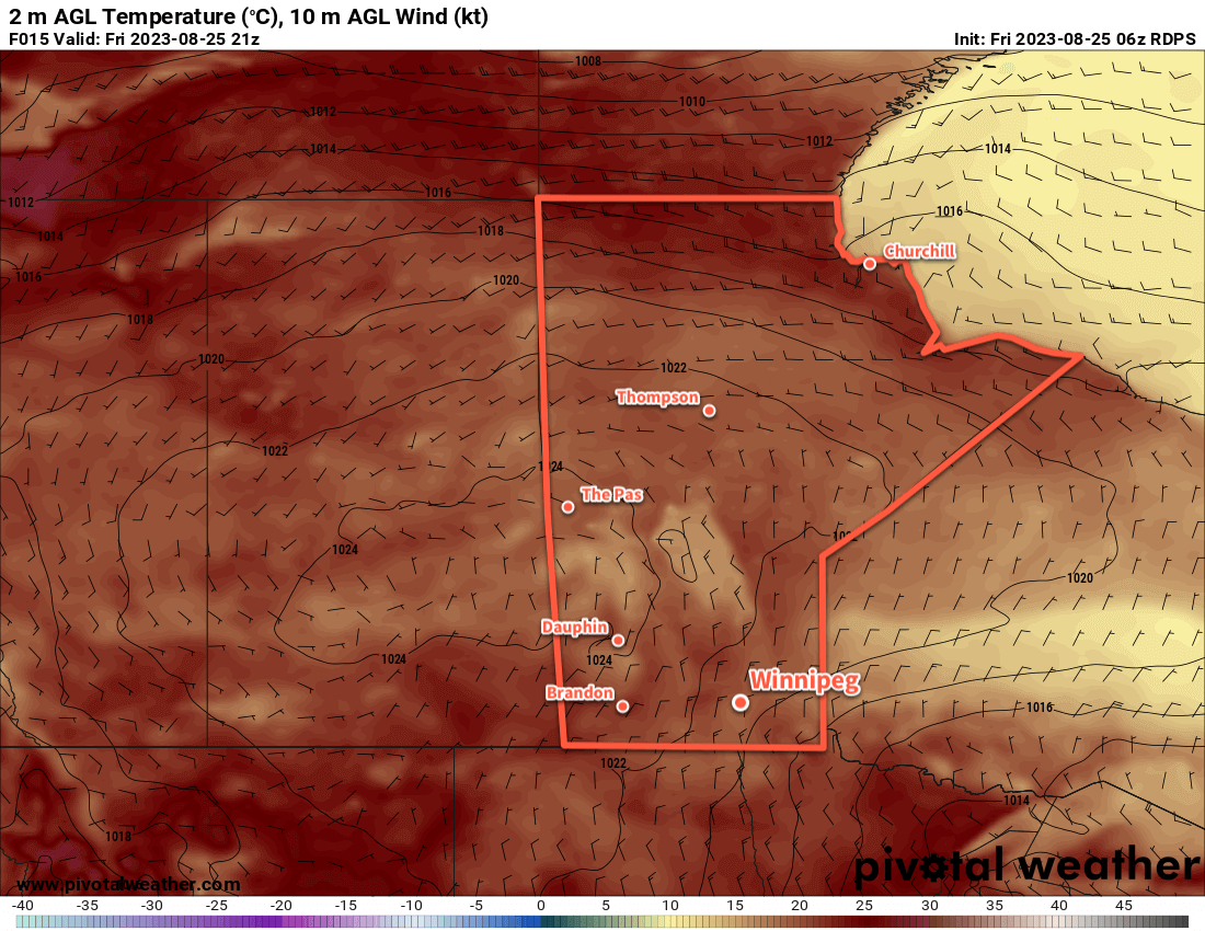
Seasonal temperatures will continue for much of the week across southern Manitoba, but a passing low pressure system on Saturday may replace sunshine with unsettled conditions.

RDPS 2m Temperature Forecast valid 21Z Thursday September 14, 2023
A low pressure system crossing Manitoba will bring warmer weather to the region on Thursday.

A collapsing upper ridge will gradually push into Manitoba as it weaken over the next couple days, bringing plenty of sunshine but not too much warmth. High temperatures in Winnipeg will sit close to 20 °C over the next couple days with a few clouds on Wednesday afternoon. The winds will be light on Tuesday, but could reach up to 30 km/h on Wednesday afternoon.

More cloud will move into the region on Wednesday night as a low pressure system crossing the northern Prairies pushes a warmer air mass into the region. Some showers might move through the region overnight Wednesday as this warmer air pushes in. This warmer air mass will help with overnight lows; Wednesday night will likely only drop into the low teens, compared to a low near 5 °C tonight.

On Thursday, highs temperatures will climb towards the mid-20s across southern Manitoba. Instability will grow through the day as a warm-sector trough pushes into the Red River Valley. As a result, there will actually be a small chance of some showers or thunderstorms later in the afternoon and early evening. With only around 500 J/kg of MLCAPE and 20–25 knots of bulk shear, any severe weather is highly unlikely. 

A cold front will sweep through on Thursday night, bringing seasonal temperatures back to the region on Friday.

Long Range Outlook

The region will see near-seasonal temperatures along with a mix of sun and cloud into the weekend. There will be a slight chance of showers on Friday night as some wrap-around precipitation moves across the region as an upper low exits the region.

Some warmer weather will likely push in to start next week with daytime highs climbing back towards the mid-twenties.

Today’s seasonal daytime high in Winnipeg is 19 °C while the seasonal overnight low is 7 °C.

Showers and Smoke Today, Pleasant Week Afterwards

Winnipeg will see morning showers and widespread smoke today as a low pressure system passes by the region. Much more pleasant weather will return for the rest of the week and the start of school.

ECMWF 6-hour Precipitation Accumulation Forecast valid 18Z Tuesday September 5, 2023ECMWF 2m Temperature Forecast valid 18Z Tuesday September 5, 2023
Some lingering [thunder]showers will push off into Ontario on Tuesday morning, leaving behind a relatively cool day with highs near the 20 °C mark across southern Manitoba.

After the night’s heavier rain, a few showers or thunderstorms will drift northeastwards early this morning, clearing out of the Red River Valley as a low pressure system moves into Ontario. In its wake, widespread smoke will linger through much of southern Manitoba. This will give very poor air quality to the region and has resulted in a special air quality statement from the MSC. Winnipeg will likely see mainly cloudy skies today, though some late-day sun is possible. It will be a cool day, though, contrasting with the weekend heat as the daytime high only climbs to around 20 °C. Breezy northerly winds will abate this evening as skies clear. Temperatures will head down to a low near 10 °C.

Heading into the rest of the week, a steady and relatively stable pattern develops for the Winnipeg area. With a generally zonal flow aloft and disturbances tracking well to the north, conditions will trend fairly sunny throughout the Red River Valley. Smoke may be noticeable on a couple days through the rest of the week, but it’s unlikely to get anywhere near as bad as Tuesday’s conditions. And temperature-wise, there’s no complaints for the rest of the week with near-seasonal values expected. Highs will sit in the low 20s with lows dipping into the upper single digits.

Long Range Outlook

It currently looks like more of the same in the Red River Valley for the weekend and start of next week. Smoke will be the only wildcard in the long-range forecast, so we’ll keep our eyes peeled in case the potential for another bout of poor air quality arises.

After today’s smokey weather clears out, enjoy the beautiful late-summer weather!

Today’s seasonal daytime high in Winnipeg is 21 °C while the seasonal overnight low is 8 °C.

Cooler, Cloudier Weather Gives Way to Pleasant Weekend

Winnipeg will see a much cooler and comfortable day today with cloudier conditions and a chance of showers. For the weekend, a building upper ridge will bring sunshine as warmer weather builds into the region.

RDPS 2m Temperature Forecast valid 21Z Friday August 25, 2023
Seasonal temperatures will return to southern Manitoba as a broad area of high pressure builds across the Prairies.

Today will be a marked departure from yesterday’s hot and humid weather that led to an outbreak of severe thunderstorms across southern Manitoba, including a potent storm that pummelled NE Winnipeg. With the system responsible for that weather off to our east, today will bring cooler northwest winds that will usher in cloudier skies with a chance of some scattered showers. Temperatures should reach a high near 20 °C with northwest winds up to 30 gusting 50 km/h. Skies will clear out later this afternoon, then the wind will die off and temperatures will head to a low on the cooler side of around 10 °C.

For the weekend, Winnipeg should see mainly sunny skies on Saturday with light winds and a high in the low 20s. On Sunday, warmer weather will push in with highs in the mid-20s. Some cloud is likely in the afternoon as a trough of low pressure moves through. This feature might bring a chance of a thunderstorm with it, but it’s looking a bit uncertain at the moment. A cold front will slump southwards overnight as temperatures head to a low in the mid-teens.

The region will likely see some haze through the weekend as well as wildfire smoke once again makes its way into southern Manitoba.

Long Range Outlook

Next week will start off with a couple seasonally-appropriate days; both Monday and Tuesday will bring highs in the 20 to 25 °C range with partly cloudy skies. By mid-week, warmer weather with highs in the mid-20s will return to the region, but we could see another chance for showers or thunderstorms in the latter half of the week.

Today’s seasonal daytime high in Winnipeg is 23 °C while the seasonal overnight low is 10 °C.

Seasonal Temperatures With Unsettled Conditions

Winnipeg will see seasonal temperatures in the mid-20s this week, but several passing disturbances will bring chances of showers or thunderstorms to the region.

RDPS 24-hour Precipitation Accumulation Forecast valid 12Z Wednesday August 23, 2023
Most of the organized shower activity on Tuesday will spread across the central Prairies, but a few showers are also possible further south in southern Manitoba.

Today will be another cooler day in Winnipeg as easterly winds undercut moisture streaming over the province in the upper-level flow. The city will see easterly winds around the 20 km/h mark much of the day. Skies will likely be cloudy through the day, but a few sunny breaks are possible in the Red River Valley and southeast corner of the province. North of the city in the Interlake, showers are likely through much of the day, while further south the best chances will be early in the morning, then again in the late afternoon. A few thundershowers may be embedded within these showers.

The showers will taper off this evening as the winds diminish and temperatures head to a low in the mid-teens. Skies will stay mainly cloudy overnight as the next disturbance approaches the region.

On Wednesday will be another cloudy day in Winnipeg. Showers and/or thunderstorms will likely push into the southwest corner of the province early in the day, then gradually spread eastwards through the day. By mid-afternoon, the chance of showers or thunderstorms will begin to increase in the Red River Valley. This activity will slump southeastwards through the evening and exit the province overnight. Temperatures will head down to a low in the upper teens on Wednesday night.

On Thursday, a bit of sun will return to the region, but cloud will push back in later in the day as another disturbance pushes towards the region from Alberta. More showers or thunderstorms will develop near the Saskatchewan/Manitoba border late in the day and then gradually spread eastwards through the evening. This will bring a chance of thunderstorms or showers to Winnipeg overnight, with a slight chance of showers lingering into Friday morning. The city will see the overnight low dip down into the mid-teens.

Regarding daytime highs, much of the week will bring near-seasonal highs in the low to mid-20s.

Long Range Outlook

Heading into the weekend, an upper ridge will begin to re-establish itself over the Prairies, bringing more settled conditions. Sunnier weather looks likely for the weekend with daytime highs climbing towards the upper 20s.

Today’s seasonal daytime high in Winnipeg is 24 °C while the seasonal overnight low is 11 °C.