Seasonably Mild Conditions Continue

Winnipeg will see mixed conditions over the next few days, but temperatures will stay warm for this time of year.

It will be a nice start to the day in Winnipeg with partly cloudy skies and a bit of a south breeze as temperatures warm into the low 20s. By midday, more cloud will begin working into the region as a weak cold front pushes towards the region. Much of the region will see a chance of showers through the afternoon as the cold front pushes through. Skies will then clear out overnight with temperatures dipping to a low near 9 °C.

RDPS 6hr. Accumulated QPF valid 06Z Tuesday September 14, 2021
A few showers will push across southern Manitoba later today.

Tuesday will bring plenty of sun to the city with temperatures climbing back to a high near 21 °C. Winnipeg and area will see a moderate northwest wind pick up to around 30 gusting 50 km/h. Skies will stay mainly clear through the day and the night thanks to a ridge of high pressure moving into the region. Temperatures will dip to a low near 9 °C on Tuesday night.

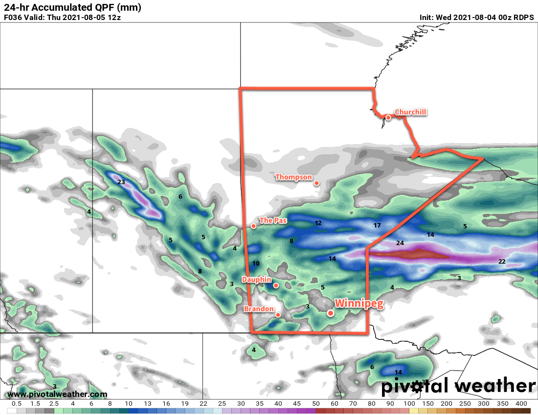
Another low pressure system will track across the Prairies on Wednesday. As it moves towards Manitoba on Wednesday, winds in the Red River Valley will strengthen to into the 30–40 km/h range with gusts up to 60 km/h. Skies will cloud over through the day as a warm front pushes through and temperatures climb to a high near 23 °C. There’s a slight chance that Winnipeg will see a few showers late in the day as a cold front pushes into the region, but it looks quite uncertain right now. The cloud cover will break up behind the cold front overnight with a low near 10 °C.

Long Range Outlook

Temperatures will cool to near-seasonal values for the rest of the week with variable cloudiness. It looks like the next chance for showers will be on Friday night with the potential for some elevated convection developing in the Dakotas and lifting northwards. The weekend will see highs in the low 20s with the potential for a few showers again on Saturday night.

Today’s seasonal daytime high in Winnipeg is 18 °C while the seasonal overnight low is 6 °C.

Unsettled Conditions Break The Heat

A cold front pushing through southern Manitoba will bring a chance of showers to Winnipeg along with some relief from the heat.

Temperatures will climb to a high near 30 °C today as the summer heat continues across southern Manitoba. Smoke will also be sticking around for much of the day as well with a southerly wind near 30 km/h. By late in the day, a low pressure system will cross the province and drag a cold front south. This will bring some scattered showers to the region with the chance of a thunderstorm or two.

Winds will switch to the northwest behind the low, likely ushering one more shot of thicker smoke. Air quality be substantially degraded this evening. Cloudy periods will persist through the night with a chance of showers late in the night into Thursday morning. The smoke will begin to clear out overnight as temperature dip to a low near 18 °C.

RDPS 2m Temperature Forecast valid 12Z Thursday August 5, 2021
Showers are possible across much of central and southern Manitoba on Wednesday into Thursday morning.

There will be a small chance of a shower early Thursday morning as the cold front swings through, then skies will begin to clear out.Northerly winds pick up into the 20–30 km/h range with a high near 25 °C in Winnipeg. The city should see better air quality through the day and some sunshine through the afternoon hours. Temperatures will head to a low near 15 °C on Thursday night with easing winds.

For Friday, a ridge of high pressure to the north will bring partly cloudy skies to the region. Temperatures will climb to a high near 28 °C with light easterly winds.

The forest fire smoke should stay primarily to the east of Winnipeg on Thursday and Friday, but there will be a small chance that some of it drifts into the region from time to time.

Long Range Outlook

Warm weather will return to the region this weekend with highs climbing back towards the 30 °C mark. Another low pressure system working its way across the region will bring more humid conditions to the region with a chance of showers or thunderstorms Saturday night into Sunday.

The potential for more unsettled weather is possible to start next week, followed by a return to seasonal temperatures.

Today’s seasonal daytime high in Winnipeg is 26 °C while the seasonal overnight low is 13 °C.

Warm and Unsettled; Hazardous Air Quality Event Ahead

Winnipeg will continue to see hot summer conditions, but with a couple chances for some rain over the coming days. Smoke will be a significant issue as well with extremely poor air quality later today into Tuesday.

Winnipeg will see light northerly winds today in the wake of a cold front that slumped through the region overnight. Temperatures won’t cool too much today, though, with a high in the upper 20s to 30 °C. More notable will be the switch to smokier conditions in the wake of the front. The front itself has brought some smoke into the region, and the northerly winds will continue to advect smoke southwards. In the evening, a thick plume of smoke will begin moving into the region as winds shift to the northeast.

Smoke models have been very consistent in the production of this smoke plume. Forecasts show it moving in today with the worst conditions spreading from east to west through the night. While the worst will have passed for Tuesday, conditions will stay very poor through the day. People with sensitivities to air quality will want to minimize outdoor activities while most others should reduce or eliminate outdoor activities if possible.

Wildfire Surface PM2.5 Contribution Forecast valid 12Z Tuesday July 20, 2021
Much of southern Manitoba will see extremely poor air quality on Tuesday as thick plumes of wildfire smoke advect westwards across the province.

On Tuesday, a disturbance moving through the region will bring cloudier conditions to the region (not that you’d tell the difference much with all the smoke) and a chance of showers. If the region is able to get rain, that could work to help clean out the air a bit. The smoke and cloud will keep things cooler with a high in the mid- to upper 20s. A much warmer air mass is moving into the region and the overnight low reflects it. Temperatures will only drop into the low 20s in Winnipeg on Tuesday night.

There’s a small chance of showers or thunderstorms late Tuesday night into Wednesday morning. After that clears, the region should see partly cloudy skies for the rest of Wednesday. Temperatures will climb back to around 30 °C. Winds will be out of the southeast for much of the day and relatively light at 15–25 km/h. These southeasterly winds will likely bring a gradual improvement to air quality through the day.

Long Range Outlook

The rest of the week looks warm with highs in the low 30s and lows in the upper teens or low 20s. Latest forecasts show the most intense part of the heat wave stalling a bit west of Winnipeg. This would put the city in a position to potentially see variable cloudiness and a greater likelihood of showers or thunderstorms. Given the intense drought over the region, any opportunities for rain will be welcome news.

Today’s seasonal daytime high in Winnipeg is 26 °C while the seasonal overnight low is 13 °C.

Cooler Weather Ahead

Winnipeg will see relief from the heat this week as an Arctic high brings slightly below seasonal temperatures to the region.

A series of cold fronts sweeping through the province over the last 24 hours are ushering in cooler temperatures from the north, bringing an end to the intense heat that’s been in place over the region. This cooler air mass will be brought by a sprawling Arctic high building into the Prairies.

Winnipeg will see a seasonably warm day today with a high near 26 °C under mainly sunny skies. Winds will pick up out of the north into the 30–40 km/h range for the afternoon. The clouds will thicken up heading into the evening as an upper-level disturbance pushes into the region. Another cold front will push through at the surface tonight, keeping winds up at around 20 km/h. This upper-level disturbance will bring a chance of rain to the city, but the cold front will likely shunt everything southwards a bit. It’s likely that the rain moving through will just glance Winnipeg, or move completely south of the city. Temperatures will head to a low near 11 °C.

RDPS 2m Temperature Forecast valid 21Z Monday July 5, 2021
The southern Prairies will see seasonably warm conditions today, but a cold front pushing southwards will bring cooler temperatures for Tuesday.

Winnipeg will find itself behind a second cold front on Tuesday with much cooler weather. Temperatures will climb to a seasonably cool 21 °C with partly cloudy skies as the overnight system clears out. The wind will keep put out of the north-northeast at 20–30 km/h. These winds may bring plumes of smoke into the region from fires burning east of Lake Winnipeg. How thick the smoke ends up being depends on a lot of nuance. If you have sensitivities to smoke, be sure to keep on the lookout for any special air quality statements issued by ECCC. Winds will ease Tuesday night with temperatures heading to a low near 10 °C.

Winnipeg will see plenty of sunshine on Wednesday with a near-seasonal high near 25 °C. Winds will be light through the day, and any smoke is left in the area should clear out early. Otherwise, it should be a beautiful day for the city. Temperatures will head to a low near 14 °C on Wednesday night with an increasing southerly wind.

Long Range Outlook

Unsettled conditions will develop over the region on Thursday as a warmer air mass begins to return. Winnipeg will see cloudier conditions on Thursday with a chance of showers, followed by a bit more sun and warmer temperatures on Friday. The heat is back for the weekend with highs in the low 30s and overnight lows in the upper teens.

Today’s seasonal daytime high in Winnipeg is 26 °C while the seasonal overnight low is 13 °C.