A Cooler Back Half of the Week

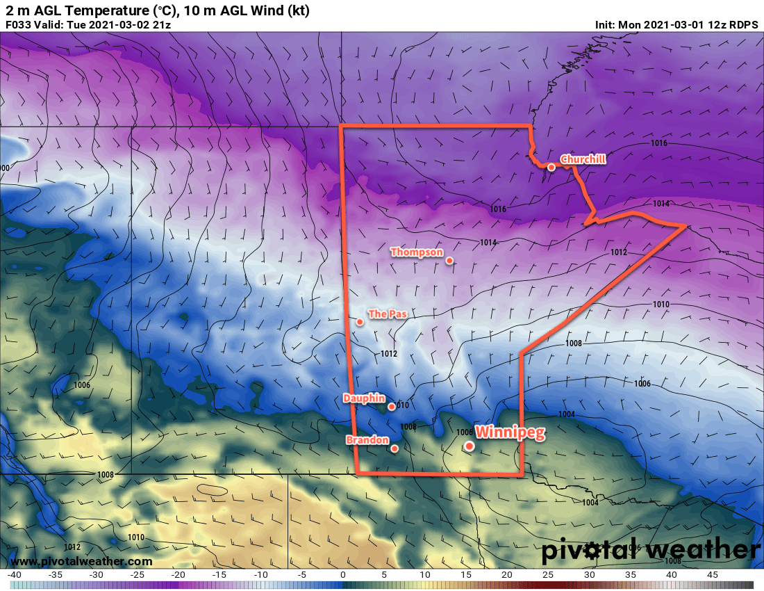
Winnipeg will see a cloudier, cooler back half of the work week in the wake of a low pressure system that crossed the province yesterday.

Winnipeg will see light northerly winds today as cooler temperatures push into the region with a weak ridge. Skies will vary from cloudy to mixed as temperatures climb to a high near +1 °C. Winds will ease from 20–30 km/h early this morning to light early in the evening. Temperatures will dip to a low near -6 °C tonight with mixed skies.

On Thursday, another weak low moving through will drag a cold front southeastwards across the province, bringing more cloud and a chance of flurries to the city. Temperatures will return to seasonal values with a high near -3 °C. Winds will be more of a nuisance, picking up out of the northwest to 30–40 km/h midday. An area of high pressure will move into the province on Thursday night, bringing easing winds and clearing skies. Winnipeg should see a low near -13 °C on Thursday night.

RDPS 2m Temperature Forecast valid 21Z Friday March 12, 2021
Warmer temperatures will once again begin moving eastwards into Manitoba on Friday.

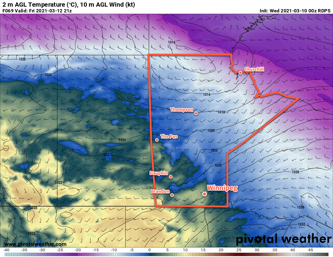
That area of high pressure will largely dominate the weather on Friday, bringing sunny skies and southerly winds of 20–30 km/h to the region. Temperatures will climb back to a high near +2 °C. Skies will stay mostly clear on Friday night with a low near -5 °C.

Long Range Outlook

A warm weekend is in store for southern Manitoba as another upper ridge builds across the Prairies. Temperatures will climb back well above freezing with mainly sunny skies this weekend. Slightly cooler weather is forecast to move in to start next week, but temperatures are still expected to stay generally seasonably mild.

Today’s seasonal daytime high in Winnipeg is -3 °C while the seasonal overnight low is -13 °C.

Spring-Like Warmth Arrives

Many in Winnipeg will remember February for the brutal cold that began the month. March will start on a very different note as spring-like warmth arrives!

After a rather cold night where lows in Winnipeg bottomed out in the low minus 20s, temperatures will climb through the next 36 hours. A Pacific low crossing the central Prairies will push a warm front eastwards, first through Alberta and Saskatchewan today, then Manitoba tonight. In Winnipeg, winds ahead of the front will pick up out of the south to 40 gusting 60 km/h for the afternoon and evening.

Temperatures will climb to a high near -12 °C today, although that wind chill will make it feel rather unpleasant. A sunny start to the day will turn cloudier for the afternoon/evening cloud ahead of the front. There will be a slight chance for some flurries, but the dry southerly ridge outflow winds will likely keep things mostly dry through a majority of the Red River Valley.

Skies will stay mixed to cloudy tonight with winds easing to 30 gusting 50 km/h for most of the night. The warm front will push through overnight, bringing temperatures up to around -2 °C by Tuesday morning.

RDPS 2m Temperature Forecast valid 21Z Tuesday March 2, 2021
Mild, spring-like warmth will move across much of southern Manitoba on Tuesday.

On Tuesday, Winnipeg will see temperatures climb above 0 °C to a high near +4 °C, although warmer highs of 5–10 °C will materialize over the western Red River Valley. Winds will ease in the morning, then gradually veer to the northwest for the afternoon as they strengthen back to 30 gusting 50 km/h. The city will see partly cloudy skies through the day. Winds will drop off quickly on Tuesday evening with skies clearing and temperatures heading to a low near -11 °C.

Mixed to cloudy skies will move in for Wednesday with a light southeast wind. Temperatures will climb back up to a high near the freezing mark. Temperatures will dip to a low near -12 °C on Wednesday night.

Long Range Outlook

More warm air is on the way through the second half of the week as an upper ridge builds across the Prairies. Highs will climb above freezing — perhaps even into the upper single digits — through the second half of the week and into the weekend. The upper ridge should keep any precipitation at bay until next week, where some snow may be possible as the ridge moves off to the east.

Today’s seasonal daytime high in Winnipeg is -5 °C while the seasonal overnight low is -15 °C.

Mild Friday Turns Colder for the Weekend

A potent Pacific low will bring warm temperatures and snow to Southern Manitoba, followed by a blast of Arctic air.

Winnipeg will see seasonably mild, but somewhat unpleasant conditions today. An area of snow — perhaps occasionally mixing with rain — will slowly move the region. Temperatures will hover around +1 °C for much of day, buoyed by the mild 20–30 km/h southerly winds. The wind will ease later this afternoon. Temperatures will begin to fall late in the day as a cold front passes and a moderate north wind develops. The organized snow will end this evening, but the chance for some more light snow will continue overnight. Temperatures will fall to a low near -20 °C with northerlies of 30 gusting 50 km/h easing to around 20 km/h by morning.

RDPS 24hr Accumulated QPF Forecast valid 00Z Saturday February 27, 2021
Southern Manitoba will see a band of snow move through the region today that may mix with rain at times if temperatures can warm enough.

Temperatures will stay much cooler on Saturday as a broad Arctic high moves into the province. Winnipeg will see a high near -16 °C, but skies will stay cloudy with a chance of light snow as an upper-level disturbance pushes through. Fortunately, that north wind will ease through the day. The cloud cover should break up for Saturday night with temperatures heading to a low near -20 °C again.

RDPS 2m Temperature Forecast valid 15Z Sunday February 28, 2021
A weak low will bring slightly milder temperatures to Winnipeg on Sunday, but the Arctic air over the northern Prairies will surge southeast on Sunday night.

A weak low will slump through the province on Sunday, bringing some slightly warmer air into the region. Winnipeg will see a high near -10 °C with light southwest winds turning northwest and strengthening to 30 gusting 50 km/h by the evening. The city will see another chance for some light snow through the afternoon and evening hours. Skies will clear out on Sunday night and temperatures will plummet to a low near -27 °C.

Long Range Outlook

Temperatures will quickly warm next week with highs climbing back above freezing by Tuesday. This will mark the start of what is forecast to be a prolonged period of seasonably mild conditions. With the longer days and increasing strength of the sun, some might even think Spring is around the corner by next weekend…

Today’s seasonal daytime high in Winnipeg is -6 °C while the seasonal overnight low is -16 °C.

Mild Weather Turns Colder For The Weekend

Winnipeg will continue to see seasonably mild temperatures until a strong cold front pushes through on Friday.

Winnipeg will see increasing cloud today as a weak low moves into the region. With a high near -4 °C, the city will see a some light snow through the afternoon hours as the low passes. Winds will stay light today, and the snow will taper off tonight as the cloud cover gradually breaks up. Temperatures will dip to a near-seasonal low of -11 °C tonight. Winnipeg and area will likely see around 2 cm of snow by the time it tapers off.

On Thursday, another strong Pacific low will begin moving into the western Prairies. In southern Manitoba, a moderate southerly wind of 30–40 km/h will develop ahead of this approaching low. These winds will tap into milder air and send temperatures back up above freezing for the afternoon. Cloud will move in for Thursday night, which will combine with the breezy southerly winds to keep temperatures mild. Winnipeg should see a low near -2 °C. A few flurries are possible through the second half of the night as this system’s warm-sector trough moves through.

RDPS 2m Temperature Forecast valid 00Z Saturday February 27, 2021
A potent cold front will sweep southwards through Mantitoba on Friday.

Friday will bring a marked change in the weather as a potent cold front surges southwards behind this low. Temperatures will quickly climb to around +1 °C by midday, but then strong northwest winds will move in as the cold front pushes through. Temperatures will drop to around -10 °C by the evening, then down to -20 °C overnight. Skies will stay mostly cloudy through the day with a chance for flurries once the cold front pushes through for the afternoon.

Long Range Outlook

Temperatures will fall below seasonal values for the weekend with highs in the minus teens and overnight lows dipping down into the mid-minus twenties. After that, warmer weather returns next week with what looks like a prolonged stretch of mild temperatures with highs near the freezing mark.

Today’s seasonal daytime high in Winnipeg is -6 °C while the seasonal overnight low is -16 °C.