A Mixed Bag of Summer Weather Ahead

An upper low moving through the province will bring occasionally unsettled weather over the next couple days.

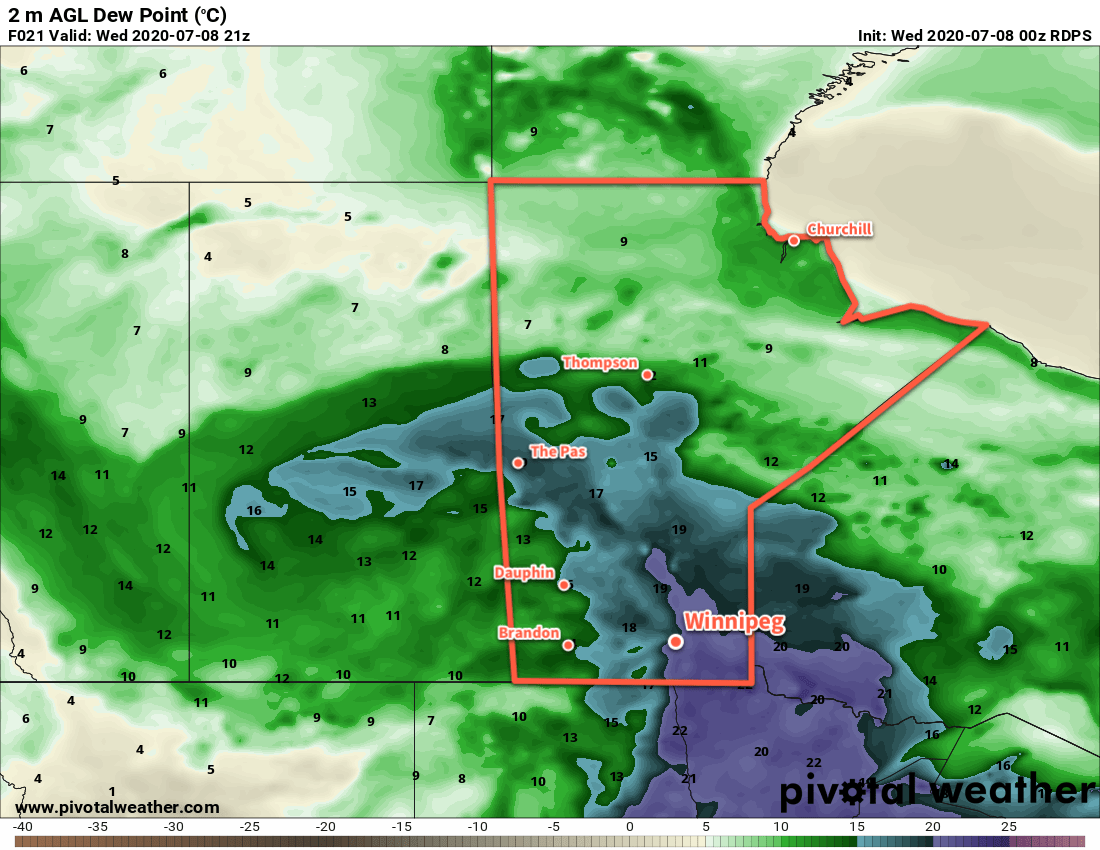
Today will start off with the leading feature of this upper low moving through the province. For the early morning hours, a band of showers and thunderstorms will move through the Red River Valley. Cloudy skies and muggy weather will persist until midday when a cold front moves through. There will be a slight chance of a shower or thunderstorm as the cold front moves through, then clearing will push in from the west. Temperatures will climb to a high near 26°C in the afternoon sun with breezy west-southwest winds near 30 km/h. Skies will stay mainly clear tonight with light southwest winds and a low near 16°C.

RDPS 2m Dew Point Temperature Forecast valid 21Z Wednesday July 8, 2020
Muggy conditions will briefly return to the Red River Valley this morning.

The upper low itself will move through the region on Thursday. A mainly sunny start to the day will see skies become mixed as temperatures warm. The city will see a high near 24°C in the afternoon with westerly winds of 30 gusting 50 km/h. There will be a slight chance in the afternoon for some scattered showers or thunderstorms. Everything will settle down in the evening, leaving the city with many clear skies as temperatures head to a low near 14°C.

GDPS 2m Temperature Forecast valid 18Z Friday July 10, 2020
The week will end with temperatures returning to seasonal summer values in Winnipeg.

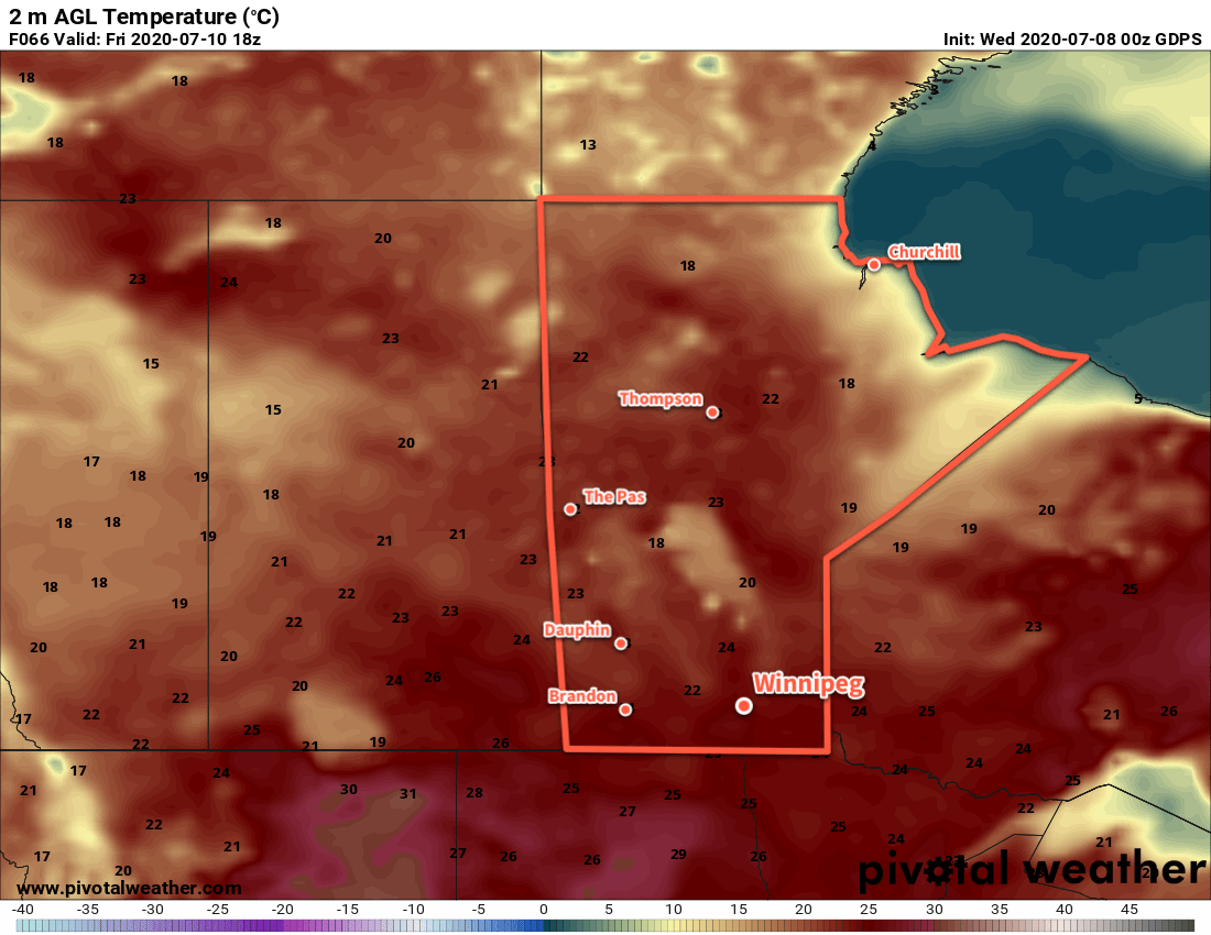
An upper ridge and associated surface high will begin working into the province on Friday. It will bring mainly sunny skies to the region and light winds. Temperatures will return to a near-seasonal high of 27°C. The city will see variable cloudiness on Friday night with a low near 15°C.

Long Range Outlook

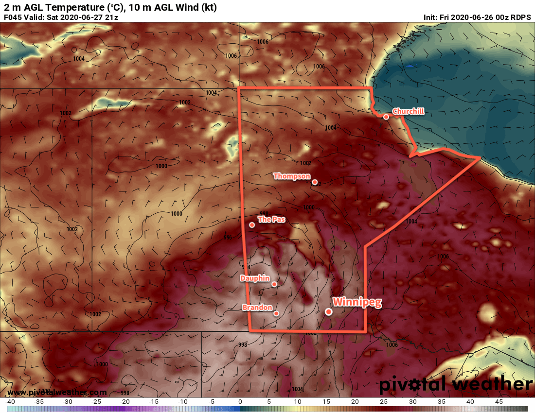
Early indications are that the region will see a beautiful summer weekend with sunshine, highs in the upper 20s, comfortable humidity, and light winds. A weaker disturbance will be moving through Manitoba on Saturday, but at this point it looks like it won’t affect the Red River Valley. We’ll keep an eye on it and have more details on Friday!

Today’s seasonal daytime high in Winnipeg is 26°C while the seasonal overnight low is 13°C.

Sunny Skies Ahead as Heat Wave Builds In

Winnipeg will see plenty of sunshine (and wind) through the weekend as an extended period of hot weather builds into the region.

The main driving force for the weather over the coming days will be a digging west coast trough. As it deepens over the Rockies, an upper ridge will build in response downstream over Manitoba and Ontario. As a result, a deep southerly flow will develop, pumping hot air northwards out of the United States.

Today will make the beginning of the event as an upper low slumps southwards through British Columbia. Here in Manitoba, we’ll see sunny skies in the wake of the system that brought showers and thunderstorms to the region last night. Highs will climb into the upper 20s with a northwest wind of 20 to 30 km/h.

RDPS 2m Temperature Forecast valid 21Z Saturday June 27, 2020
Hot summer temperatures will build into the region this weekend, marking the start of an extended period of seasonably hot conditions.

The more notable heat will build in for the weekend. As the upper ridge continues to build, a deep southerly flow will send high temperatures to the low 30s for the weekend. Winds of 30 to 40 km/h will develop during the days, easing into the 20 to 30 km/h range at night. Those breezy overnight winds will keep overnight lows warm near 20°C.

Winnipeg and the Red River Valley will see plenty of sunshine over the next several days.

Long Range Outlook

The heat will persist right through much of next week with highs in the upper 20s or low 30s. Compounding it, though, will be the arrival of more significant humidity on Monday. Dew points will climb close to 20°C, which will not only make the heat feel worse, but also keep overnight lows hot despite weakening winds.

Unsettled conditions may Arrive for Tuesday through Thursday with the chance for widespread shower or thunderstorm activity in the Red River Valley. The heat looks to moderate ever so slightly for next weekend.

Stay safe and be sure you know about the health risks and danger signs of heat: summer is here!

Today’s seasonal daytime high in Winnipeg is 25°C while the seasonal overnight low is 12°C.

Hot, Often Humid, And Unsettled

Several days of hot and humid weather lie ahead for Winnipeg with increasingly unsettled conditions.

Winnipeg will see temperatures climb to 30°C today with mixed skies in an increasingly humid air mass. With dew points reaching the upper teens later today, it will feel more like the mid-30’s outside. A cool front will nudge eastwards this afternoon, bringing a chance of showers or thunderstorms followed by some drier air. Winds will be south at 30 to 40 km/h through the morning, then ease and shift westerly behind the cold front. Temperatures will dip to a low near 16°C tonight with mixed skies.

Heat and humidity will return on Tuesday as a warm front lifts northwards out of the Dakotas. There will be a chance of a passing shower or thunderstorm in the morning if some elevated convection manages to develop and slide eastwards across the Red River Valley ahead of the warm front. Temperatures will climb to a high near 32°C in the afternoon with humid conditions developing. Dew point temperatures should climb into the 20 to 22°C range, producing humidex values in the 35 to 40 range. Winds will pick back up into the 30 to 40 km/h range and keep most of their strength through the night. The humid and windy conditions will keep temperatures very warm on Tuesday night with a low of just 22°C.

RDPS 2m Dew Point Temperature Forecast valid 00Z Wednesday June 17, 2020
After a brief reprieve on Monday night, humid weather will build back into southern Manitoba through the day on Tuesday and persist through Wednesday. Temperatures may stay very warm on Tuesday night across the region.

Wednesday will continue the hot and humid weather with a high near 30°C and breezy southerlies. Cloud cover will increase through the day with another chance of showers or thunderstorms redeveloping. Temperatures will dip back to a low near 17°C on Wednesday night.

Beginning Tuesday evening, there will be several chances for showers or thunderstorms in the Winnipeg and across much of southern Manitoba. With the hot and humid air mass in place, many of the thunderstorms may have the potential to be severe. These upcoming setups are nuanced and other than the broad generalizations above, few specifics are available until closer to the events.

NAM MLCAPE Forecast valid 21Z Wednesday June 17, 2020
Hot and humid conditions will provide moderate to high amounts of energy for thunderstorms to work with beginning Tuesday evening and lasting through Wednesday.

Over the coming days, be sure to check the ECCC Thunderstorm Outlook, available on our bulletin viewer. We’ll have more to say in the coming days on the thunderstorm threat, but for now just take note that beginning Tuesday evening, Winnipeg may see several chances for thunderstorms with a risk of severe thunderstorms right through Wednesday night.

Long Range Outlook

A cold front pushing through on Wednesday night will bring calmer weather and seasonal temperatures back to Winnipeg. The weekend is looking seasonably cool with perhaps a passing chance of showers. Temperatures will begin to warm through the start of next week.

Today’s seasonal daytime high in Winnipeg is 24°C while the seasonal overnight low is 11°C.

Windy Weekend Brings Summer Heat Back to Winnipeg

After a cool end to the week, breezy southerly winds will strengthen this weekend and bring summer temperatures back to the region.

Today will be one last seasonably cool day across the Red River Valley as an Arctic ridge exits the region. Temperatures will top out at only around 19°C with light winds. Winnipeg should see sunny skies, so although it’s cool, the light winds and sunshine should make for a pleasant June day. Temperatures will dip to a low near 8°C tonight with light southeast winds.

Temperatures will return to seasonal values on Saturday with a high near 23°C under mainly sunny skies. Winds will pick up through the morning into the 30 to 40 km/h range out of the southeast. With seasonal temperatures and a nice breeze keeping the bugs at bay, it will again be a pleasant June day! Temperatures will head to a low near 14°C on Saturday night.

NAM 10m Wind Forecast valid 21Z Sunday June 14, 2020
Moderate southeasterly winds will develop over southern Manitoba this weekend.

The winds will strengthen on Sunday to 40 gusting 60 km/h with temperatures continuing to climb to a high near 27°C. The city will see partly cloudy skies and no notable humidity will accompany the heat. Winnipeg will see more cloud cover on Sunday night with a chance of showers or thunderstorms. Temperatures will drop to a low near 17°C as the winds continue through the night.

Long Range Outlook

Next week will continue to be seasonably warm with highs in the mid-20s. Some unsettled conditions will develop as a series of low pressure systems move through. As is typical with summer lows here, they will be convectively driven so rainfall patterns will be hit and miss. Early indications are that western Manitoba will see most of the rain next week, providing some relief to flooded regions in the southeastern corner of the province. That said, all areas in southern Manitoba will see a chance of showers or thunderstorms through the first half of the week.

Today’s seasonal daytime high in Winnipeg is 23°C while the seasonal overnight low is 10°C.