This June has felt more like Spring than Summer so far, but that may be changing this week.
Monday and Tuesday
Mainly Sunny
23°C / 12°C
Mix of sun and cloud. Chance of showers, risk of a thundershower
25°C / 14°C
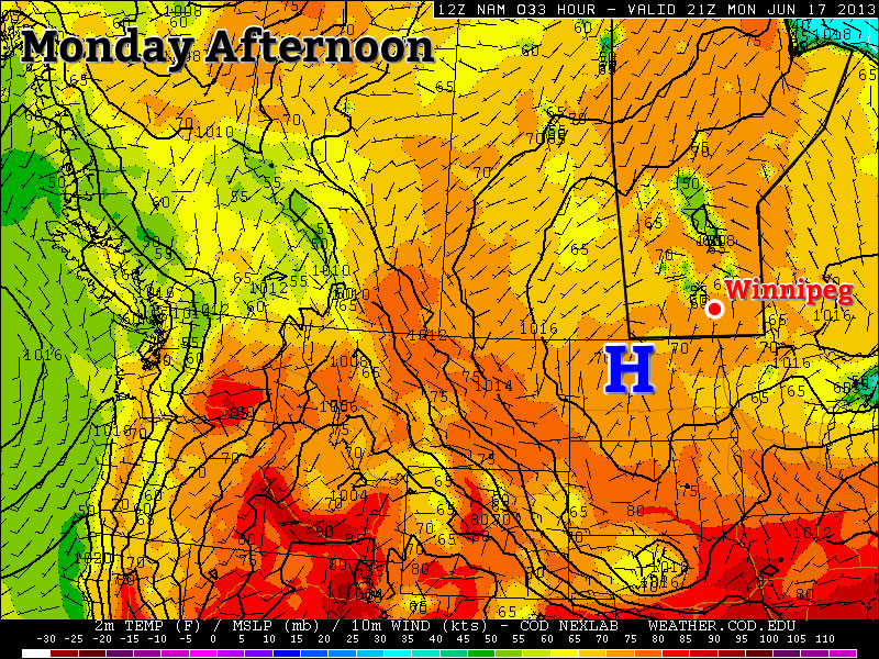
Conditions today and tomorrow will be dominated by a surface ridge of high pressure. This high will keep wind speeds relatively light. It should also suppress the risk of showers for the most part, however by Tuesday there may be enough instability for a pop-up shower or thundershower. Temperatures will be in the low twenties today and in the mid twenties on Tuesday.
Wednesday
Mainly Sunny. Slight risk of a thunderstorm
27°C / 16°C
Wednesday should be one of the warmer days this week, with high temperatures in the mid to upper twenties. A south-east flow will bring more moisture into the region, so you may notice that Wednesday is a bit more humid than Monday and Tuesday. This additional moisture will once again cause the atmosphere to destabilize, so there is a slight risk of a non-severe thunderstorm in Southern Manitoba.
Late Week
The late week period looks interesting. Models bring a significant stream of moisture up into Southern Manitoba for Thursday and Friday. This along with an incoming jet stream may allow for some strong thunderstorms. However, it is still too early to go into great detail about the storm potential. We’ll be sure to post much more about this in the comments if the risk looks legitimate.