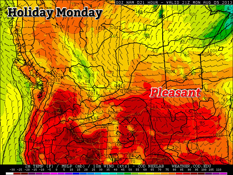
The last day of the long weekend will be quite nice, but then conditions will turn ugly for Tuesday as a strong cold front pushes through.

Monday
Mix of Sun and Cloud. Chance of Showers.
25°C / 14°C
Today will be fairly nice in Southern Manitoba. Afternoon temperatures will be in the mid twenties under a mix of sun and cloud. The atmosphere will be a bit unstable later in the day, meaning that some isolated showers or thunderstorms may develop. These showers and storms are most likely to occur along and north of the Trans-Canada, though some areas south of the highway will still stand a slight chance of seeing an isolated cell move through. Wind speeds will be light, so overall it will be a quite a nice day in those areas that don’t see any showers or storms move through.
Tuesday
Rain early, then Decreasing Cloudiness
18°C / 5°C
The weather will be in transition on Tuesday as a strong cold front blows through early in the morning, setting up unseasonably cool weather for much of the week. There will likely be some showers, or perhaps even thundershowers, associated with this front as it passes through. However, amounts don’t look to be particularly high. In total, amounts will probably range from about 5 to 15mm, with locally higher amounts. Once the rain clears the region on Tuesday morning, temperatures won’t recover very much. Highs on Tuesday will only be in the mid to upper teens with a stiff northerly wind. Obviously Tuesday will be an unpleasant day, certainly not what we’d hope for in early August.
Wednesday
Increasing Cloudiness. Chance of Showers.
19°C / 9°C
Wednesday will be another cool day in Southern Manitoba from start to finish. Early morning temperatures will be in the mid single digits, with a recovery to the upper teens or perhaps twenty degrees by afternoon. Unfortunately, the atmosphere will quickly destabilize with daytime heating, prompting numerous showers to develop by afternoon. By this point you can probably recognize that this week isn’t going to be very nice.
Long Range
Medium range weather models suggest that the remainder of the work week will stay cool and showery. In the longer range models suggest we may begin to see temperatures trend back towards normal by next weekend, but that is still a bit far away to get overly excited about.
