The generally unsettled weather that has been in place over Southern Manitoba over the past week will continue for at least a couple more days as a large upper-level low pushes across the Prairies. For those tired of sweating the heat, though, a reprieve is on the way as drier air finally works its way into the Red River Valley.
Today will be a fairly pleasant day with a fairly sunny start and temperatures poised to climb up to around 26 or 27°C. As the temperatures warm up this afternoon, shower and thunderstorm activity will likely develop as a cold front pushes eastwards into the Red River Valley. Most areas through the valley will have a chance at seeing some shower or thunderstorm activity, however the chance will increase the closer you find yourself to the U.S. border. Any convection that does develop will push out the eastern RRV early in the evening, ushering in some cooler, notably drier air into the region behind the cold front. Friday night will mark the end of a very humid streak that has seen dew points in the upper teens or low 20’s for over a week. Expect a refreshingly cool overnight low of around 12°C.
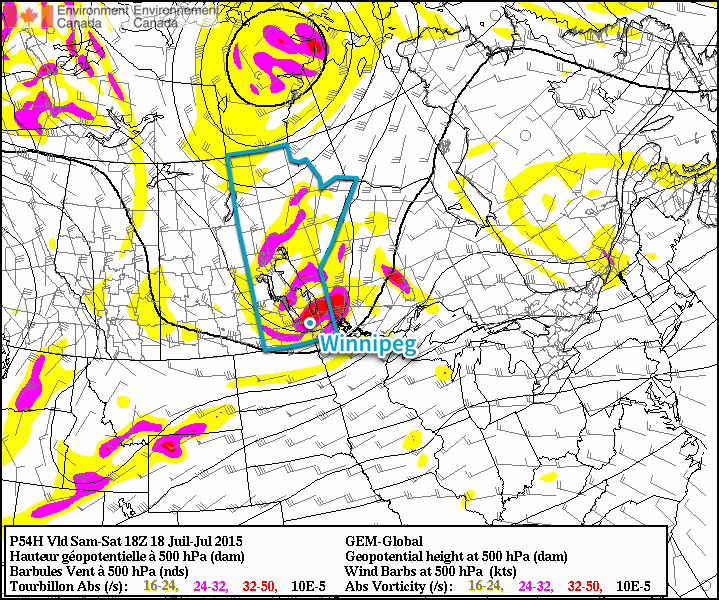
Saturday will bring yet another chance for showers and thunderstorms as the main upper-level low moves over Southern Manitoba. Temperatures will climb to around 22°C, which may be enough to pose a marginal risk for some severe thunderstorms in the afternoon; the biggest impact to be aware of, however, is the potential for cold core funnel clouds. These funnel clouds are developed through entirely different mechanisms than their stronger, supercell thunderstorm counterparts, and are substantially weaker and rarely result in a touchdown. If a cold core funnel cloud does reach the ground, it’s considered a landspout tornado. These tornadoes are short lived and usually very weak. While they do not pose the level of threat that a supercell thunderstorm tornado would pose, strong winds of any type can be dangerous. The shower and thunderstorm activity will push out of the region in the evening and we’ll see clearing skies as the low heads back down to around 12°C.
Sunday’s forecast will be short. Beautiful weather is on tap with highs in the mid–20’s, comfortable humidity, light westerly winds and mostly sunny skies. No complaints! Expect a low on Sunday night in the mid-teens. Finally some good weather news for a change!