
A pleasant and dry Canada Day is on tap for Southern Manitoba thanks to a ridge of high pressure over the region that will bring sunshine to most regions. Heading into the weekend, slightly warmer weather will bring with it more unsettled weather.
Southern Manitoba is set for a beautiful Canada Day as temperatures climb into the low 20's with mainly sunny skies and light winds. Some cloud cover will begin pushing into the region late this afternoon, likely bringing partly cloudy to mixed skies by midnight. The overnight low will dip down to near 12°C.
Saturday will bring mainly cloudy skies–although a sunny break here or there is possible—and just a very slight chance for some showers here in Winnipeg. A disturbance moving through the southwestern portion of the province will spread more organized shower activity that will pass through the southwestern Red River Valley, but likely remain south of Winnipeg. Temperatures will once again climb to around 23°C, but the wind will be a bit breezier at 20-30 km/h out of the southeast.
Cloudy skies will continue on Saturday night with a chance of showers in Winnipeg & the Red River Valley. Temperatures will drop to around 15°C for the overnight low with a continued chance of showers through the region.
Sunday will be the warmest and most unsettled day of the weekend. Temperatures will climb to a high near 25°C under mostly cloudy skies. There will be a chance of showers for much of the day, but as a trough passes through in the afternoon the risk for thunderstorms will be added into the mix. At this point, there doesn't appear to be a severe threat with the storms, but we'll keep an eye on the situation through the weekend. Winds will once again be southeasterly at 20-30 km/h. Expect a mild low on Sunday night near 17°C.
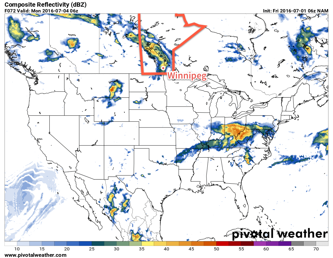
Long Range
Looking into next week, conditions look fairly warm with daytime highs in the upper 20's and increasing humidity as dew points climb into the upper teens. Early indications are that there will be chances for rain or thunderstorms every day through the first half of the week, with a slightly drier and cooler pattern returning for the second half of the week.
Winnipeg’s seasonal daytime high is currently 25°C while the seasonal overnight low is 13°C.