Anyone looking for a good long stretch of hot, dry weather really should consider broadening their horizons because generally unsettled weather continues throughout Southern Manitoba right through the coming weekend.
Today will be the most pleasant and "summer-like" day of the coming few as the sun makes a prominent showing with temperatures climbing into the mid-20's for a daytime high. While some showers or thunderstorms are possible over southwestern Manitoba today, Winnipeg & the Red River Valley should see just a few clouds with no precipitation expected.
Tonight will continue to be fairly pleasant with a low near 13°C.
Thursday will bring unsettled weather back to Winnipeg as an upper low moves into southern Manitoba. Increasing cloudiness and showers will spread from the southwestern Red River Valley to the northeast through the morning, and then the unsettled conditions will persist through the afternoon. At this point no thunderstorm activity is expected. Temperatures will reach a high near 23°C and then head to a low near 14°C on Thursday night with a continuing chance of showers.
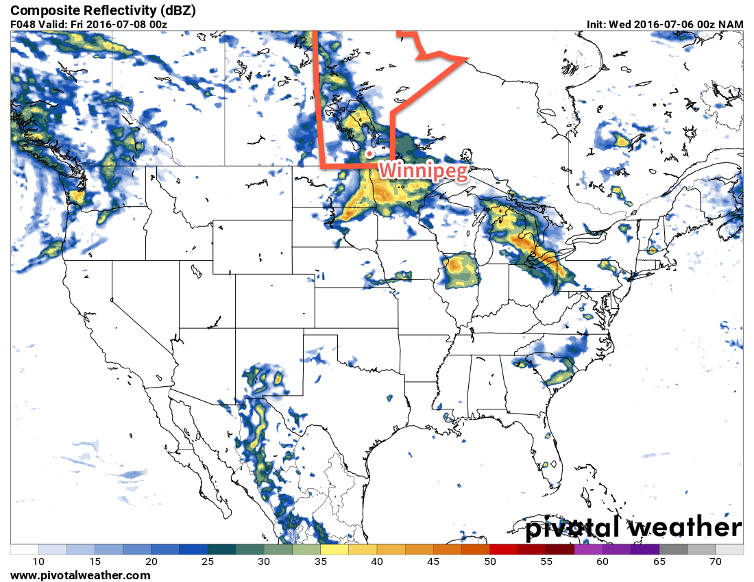
Friday will continue with fairly cloudy skies and a slight chance of more light shower activity. Some sunny breaks are possible in the afternoon as the temperature climbs to a high near 23 or 24°C. Temperatures will drop to around 14°C with clearing skies.
Hot, Unsettled & Increasingly Humid This Weekend
The weekend weather will be dominated by a developing trough of low pressure through the western and central Prairies that will draw humid air northwards from the Central Plains of the United States and bring with it the potential for multiple days of thunderstorm potential. Early indications are that severe thunderstorms will certainly be possible on both Saturday and Sunday. Highs will be in the upper 20's with Sunday in particular beginning to feel very muggy.
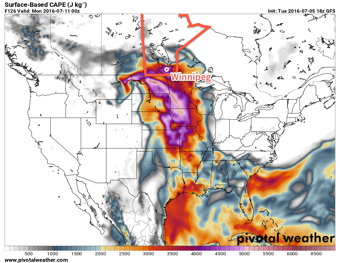
With the Winnipeg Folk Festival starting off this weekend, we'll be sure to keep a close eye on this system as it develops. Early indications are that the days will be fairly pleasant with more of a chance for thunderstorms through the overnight periods both Saturday night and Sunday night. By Sunday, there may be a significant severe threat with any thunderstorms due to the sheer amount of instability that is forecast to be in place over the region. We'll have a closer look at the weekend forecast on Friday morning.
Winnipeg’s seasonal daytime high is currently 26°C while the seasonal overnight low is 13°C.