Winnipeg will see a mild weekend with temperatures continuing well above-normal, but a developing trough of low pressure will bring unsettled weather to the region.
Today will mark the beginning of a soggy weekend as temperatures hovering just above the freezing mark persist over the next several days.
Temperature-wise, expect temperatures to be within a degree of +1°C all the way until Monday morning, when it will dip just below the freezing mark. Alongside those mild temperatures will be overcast skies through the entire weekend.
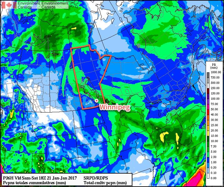
We’ll an almost-continuous chance of precipitation of some sort. Today will bring dissipating fog patches this morning and a chance of drizzle through much of the rest of the day. A impulse heading northwest out of Minnesota will move across the region this evening, bringing an area of rain showers through the Red River Valley with amounts of 2-5 mm expected. After it passes tonight, fog patches will likely redevelop. Saturday will see a chance of showers or drizzle throughout the day and night.
That chance for light precipitation will continue through Sunday, but slightly cooler temperatures moving in mean that some flurries may mix into things.
Long Range
Not much will change through the first half of next week; cloudy conditions with temperatures near the freezing mark will continue with chances for light precipitation continuing.