An approaching low pressure system will bring hot and hazy weather to Winnipeg before a cold front passing Saturday brings a risk of thunderstorms and ushers cooler conditions back into the region.
Winnipeg will continue to see hazy skies today as the over 500 fires that have led to a state of emergency in British Columbia continue to send plumes of some eastwards into the Prairies. The thickest smoke has left the region and winds aloft should keep the main smoke track further north across the central and northern Prairies. Plenty of haze and stagnant high-level smoke will remain in the area with some limited visibility restrictions.1 The significant thinning of the smoke will let the sun shine much more strongly and send daytime highs in the region up into the low 30s. Winds will be out of the south at just 10 to 15 km/h.
Winds will increase out of the south to around 20 km/h tonight as temperatures dip to a low near 15°C under mixed skies.
Saturday should be a scorcher of a day…assuming the smoke can stay away. If we see the sun, then temperatures will soar to a high near 33°C with winds out of the south-southwest at 30 gusting to 50 km/h. Winnipeg will see partly skies in the morning, then a bit more cloud in the afternoon. Some forecasts show some elevated convection developing on Friday night and spreading across portions of western Manitoba and the Interlake. If that does form, it will likely remain north of Winnipeg but will bring some cloud and chances for showers to portions of the province through the morning hours.
A cold front will push through the Red River Valley late in the afternoon and through Saturday evening, bringing with it the chance for some showers or thunderstorms. At this point, there looks to be minimal chances for severe weather with under 1000 J/kg of MLCAPE forecast and bulk shear values near 20 kt.
The potential pitfall for Saturday’s forecast will be if thicker smoke once again moves into the region. It’s hard to tell at this point whether or not it will. Most guidance suggests it will primarily remain further north, but cold fronts can concentrate smoke ahead of them, so we’ll simply have to wait and see. If thicker smoke ends up returning, temperatures will be cooler and the chances for showers or thunderstorms diminish.
For Saturday night, Winnipeg will see winds diminish and temperatures head to a low near 16°C with a slight chance of showers continuing overnight.
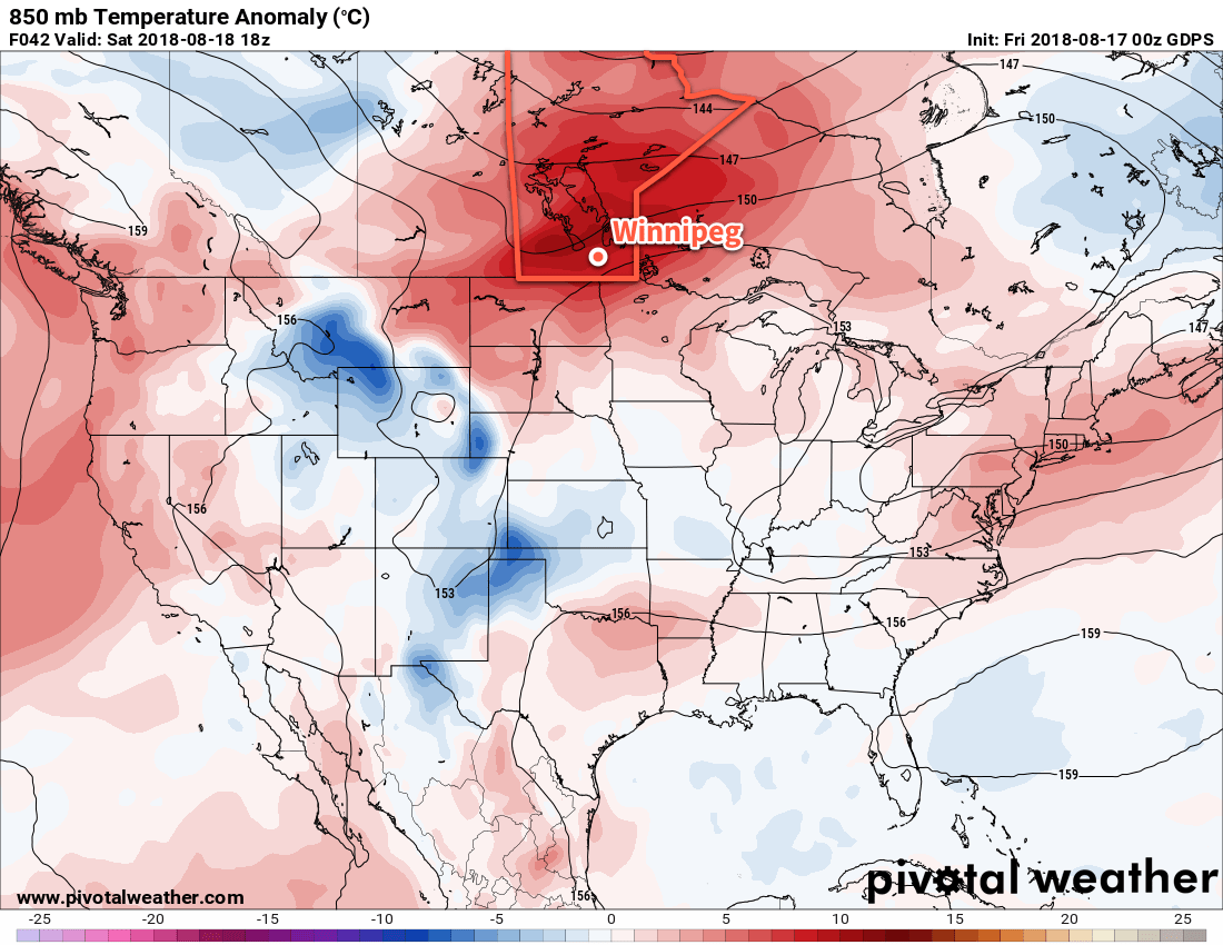
Sunday will bring mostly cloudy skies to the region as an upper trough swings through. A small chance for showers is likely to continue into the morning, followed by clearing skies through the afternoon. Temperatures will be much cooler with a high near 23 or 24°C as northerly winds of 30 gusting 50 km/h move into the region. Temperatures will head to a low near 12°C on Sunday night under clear skies.
Long Range Outlook
Southern Manitoba will be under a northwesterly flow through the first half of next week which should bring clearer skies and near-seasonal temperatures. An upper-level ridge will push eastwards mid-week, bringing warmer weather back to the region alongside the potential for more smoke.
Winnipeg’s seasonal daytime high is currently 25°C while the seasonal overnight low is 12°C.
- Many places in the air mass we’ll find ourselves in today saw visibilities of 8 to 16 km through the day yesterday. ↩