Seasonably cool temperatures will continue in Winnipeg through the week with some light snow likely on Tuesday.
A persistent vortex over Hudson Bay continues to push Arctic air southwards across the Prairies. With little forecasted change in the long-wave pattern, below-normal temperatures will be the norm right into next week. Winnipeg will see highs climb just above freezing over the coming few days with overnight lows varying between around -3 or -4 °C and near -10 °C.
Today will bring partly cloudy skies to Winnipeg with a small chance of light snow from passing lake-effect clouds. Skies should clear out tonight as a ridge moves through, allowing temperatures to drop to a low close to -10 °C.
On Tuesday, a disturbance moving into the region will spread cloud into Winnipeg through the day. Light snow will spread through the province, reaching Winnipeg sometime mid- to late-afternoon. The city should see light snow through the night with a few centimetres accumulation possible.
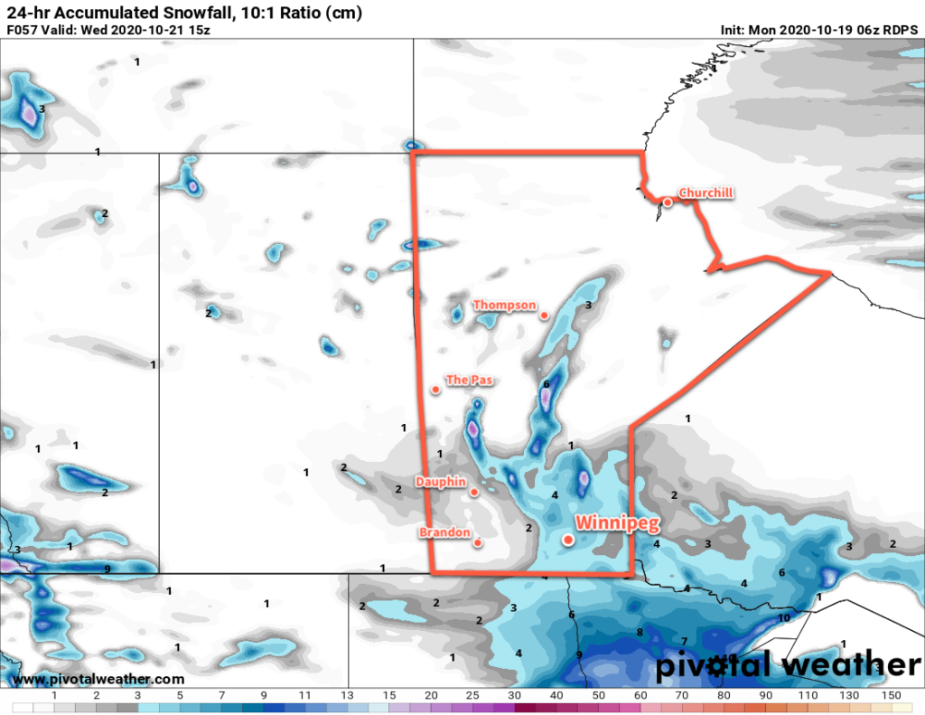
The snow will ease up on Wednesday morning, followed by a few sunny breaks through the day.
Long Range Outlook
The city will continue to see variable cloudiness with the occasional chance for some passing light snow. With little change to the long-wave pattern expected in the coming week, don’t expect any significant changes in our day to day weather either.
Today’s seasonal daytime high in Winnipeg is 9 °C while the seasonal overnight low is -2 °C.