Winter will continue to be MIA as daytime highs continue to climb above freezing this week.
Another broad upper ridge spreading across the Prairies will keep mild Pacific air in place over the region.
To start the day, Winnipeg may see a bit of cloud or fog. If it does show up, things should clear out relatively quickly and leave behind mainly sunny skies. Temperatures will climb to a high just above 0 °C. The city will see light westerly winds through most of the day. More cloud will spread through the region tonight with lows dipping to around -4 °C.
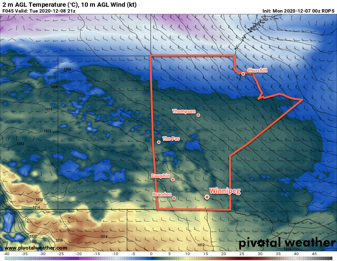
On Tuesday, the city will see a few more clouds as a trough moves across the region. Winds will pick up out of the west midday behind the trough into the 20–30 km/h range. Once those westerlies kick in, temperatures should jump nicely for the afternoon and reach a high near +4 or 5 °C. Skies will mostly clear tomorrow night with winds easing and a low near -3 °C.
Temperatures will again climb above freezing to a high near +3 °C on Wednesday in Winnipeg. The city will enjoy partly cloudy skies with westerly winds picking back up into the 20–30 km/h range. More cloud will work into the region on Wednesday night with easing winds. The city should see a low near -3 °C again.
Long Range Outlook
The latter half of the week will likely see a fairly large pattern shift that will usher a return to more wintery conditions to the region. Forecasts show s strong winter storm moving from the Dakotas through Minnesota and into NW Ontario on Thursday through Saturday. This system will likely graze across portions of southern Manitoba and may bring accumulating snow to the region.
Behind this system, the upper ridging will over western North America will collapse, and the Polar Vortex will strengthen and slump into southern Nunavut. This will allow cooler air to spill southwards out of the Arctic and return temperatures closer to seasonal values for the weekend into next week. Winnipeg will likely see daytime highs in the -6 to -12 °C range this weekend and into the first half of next week. Overnight lows are forecast to dip into the mid-minus teens.
Today’s seasonal daytime high in Winnipeg is -8 °C while the seasonal overnight low is -17 °C.