Winnipeg’s temperatures will continue to slide over the next week as multiple disturbances move through the region.
More snow is on the way today, but it will fall to the west and north of Winnipeg. Although Winnipeg got a bit of snow overnight, the main bulk of the snow pushed into western Manitoba overnight. It will continue to the northeast today, while here in the Red River Valley temperatures warm slightly under cloudy skies.
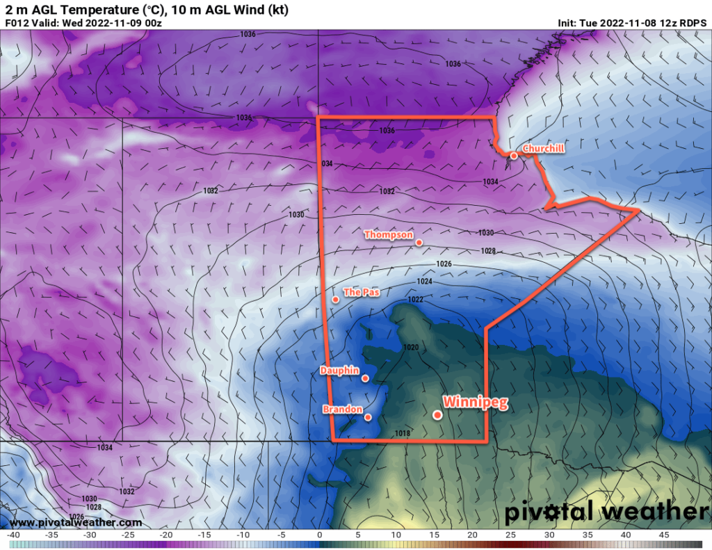
Winnipeg will see a high up to around the 5 °C mark this afternoon with easing southeasterly winds. Skies will stay cloudy through the day. A trough will move through this afternoon, followed by a cold front in the evening. The trough will bring a chance of showers as it moves through this afternoon. Cloudy skies will continue this evening with the passage of the cold front. It doesn’t look like any snow will fall with that frontal passage.
Heading into the rest of the week, Winnipeg will find itself on the edges of passing systems. Disturbances will push past the area on Wednesday afternoon and later on Thursday, but both will mainly affect areas southeast of Winnipeg. Wednesday’s system will bring a chance for some afternoon flurries, but Thursday’s could bring more notable snowfall. Right now, it appears that Winnipeg will only be grazed by the system with 2—5 cm accumulation by Friday morning. Amounts will increase southeast of the city, with 15 to 25 cm likely over the southeast corner of the province. Coupled with strengthening north winds, travel conditions to the south and east will likely deteriorate Thursday night into Friday with accumulating snow and blowing snow.
Snowfall accumulations will be sensitive to the track of this system. Should it push northwest a little bit, Winnipeg may be seeing a more significant snowfall event to end the week.
Through this whole time, cooler and cooler temperatures will be pushing into Winnipeg. Today’s above-freezing high will give way to a high near 0 °C on Wednesday that then drops towards -5 °C for the rest of the week. Overnight lows will also drop below -10 °C by the end of the week.
Long Range Outlook
Heading into next week, a strong northwesterly flow will develop aloft, allowing Arctic air to spill southwards across the Prairies. This will lead to a prolonged period of below-normal temperatures with highs likely in the mid-minus single digits and overnight lows near or below -10 °C. The region should see a bit of sun through the weekend, but cloudier conditions will return next week. Multiple disturbances will slump southwards in the flow, bringing several chances for snow next week. In addition, the colder air moving into the region will combine with the organizing northwest winds and will likely produce some lake-effect snow in the lee of the Manitoba Lakes next week.
It’s been a nice run, but it does indeed look like the region is finally on its decent out of fall into winter. Get those long johns and snow pants ready!
Today’s seasonal daytime high in Winnipeg is +1 °C while the seasonal overnight low is -7 °C.