Windy Return to Colder Weather

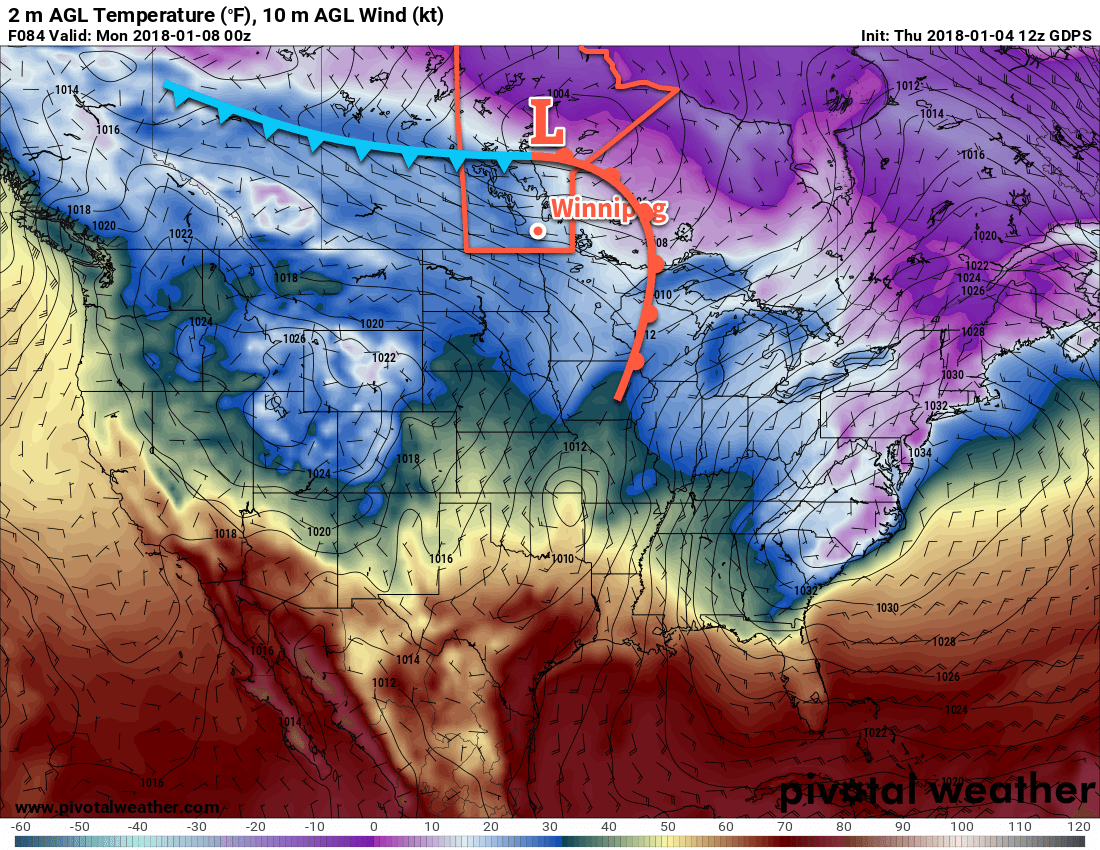
The pleasant temperature Winnipeg has seen the past few days are coming to an end: a potent cold front will blast through today, bringing strong northerly winds usher Arctic air back into the region.

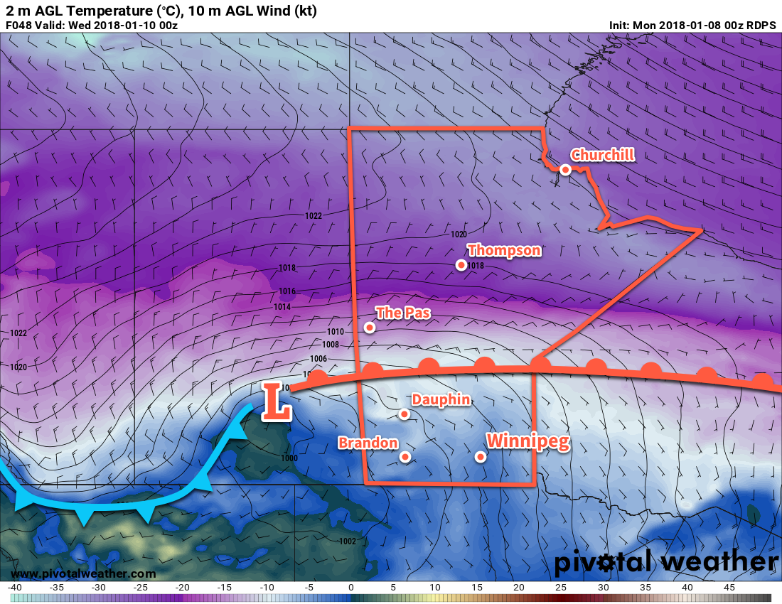
While today will start off with mild temperatures near the freezing mark, a cold front will push through early this morning, ushering in northerly winds of 50 gusting to 70 km/h that will send temperatures plummeting into the low minus teens through the afternoon. There will be a fairly good chance of flurries today, but no notable accumulations are expected.

Temperatures continue to fall tonight, heading towards a low of -23°C under cloudy skies. A disturbance moving through the Dakotas will spread snow into southeastern Manitoba, possibly clipping portions of the Red River Valley. In Winnipeg, it looks like up to around 2 cm of snow may fall, but further south in the Red River Valley up to 4 to 8 cm of snow may fall overnight. Moderate northerly winds will continue through the night.

NAM Forecast 2m Temperature valid 12Z Wednesday January 10, 2018
A cold front will sweep southwards through Winnipeg early this morning.

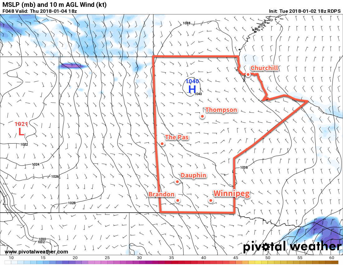
Thursday will bring clearing skies to Winnipeg & area as the winds slowly taper off. Temperatures will be cold with daytime highs near -21°C. Thursday night will bring mainly clear skies with light winds as temperatures fall to a low near -30°C. The cold weather continues on Friday with a daytime high near -20°C under sunny skies. Expect a low near -31°C on Friday night with the potential for extreme cold warnings.

Long Range Outlook

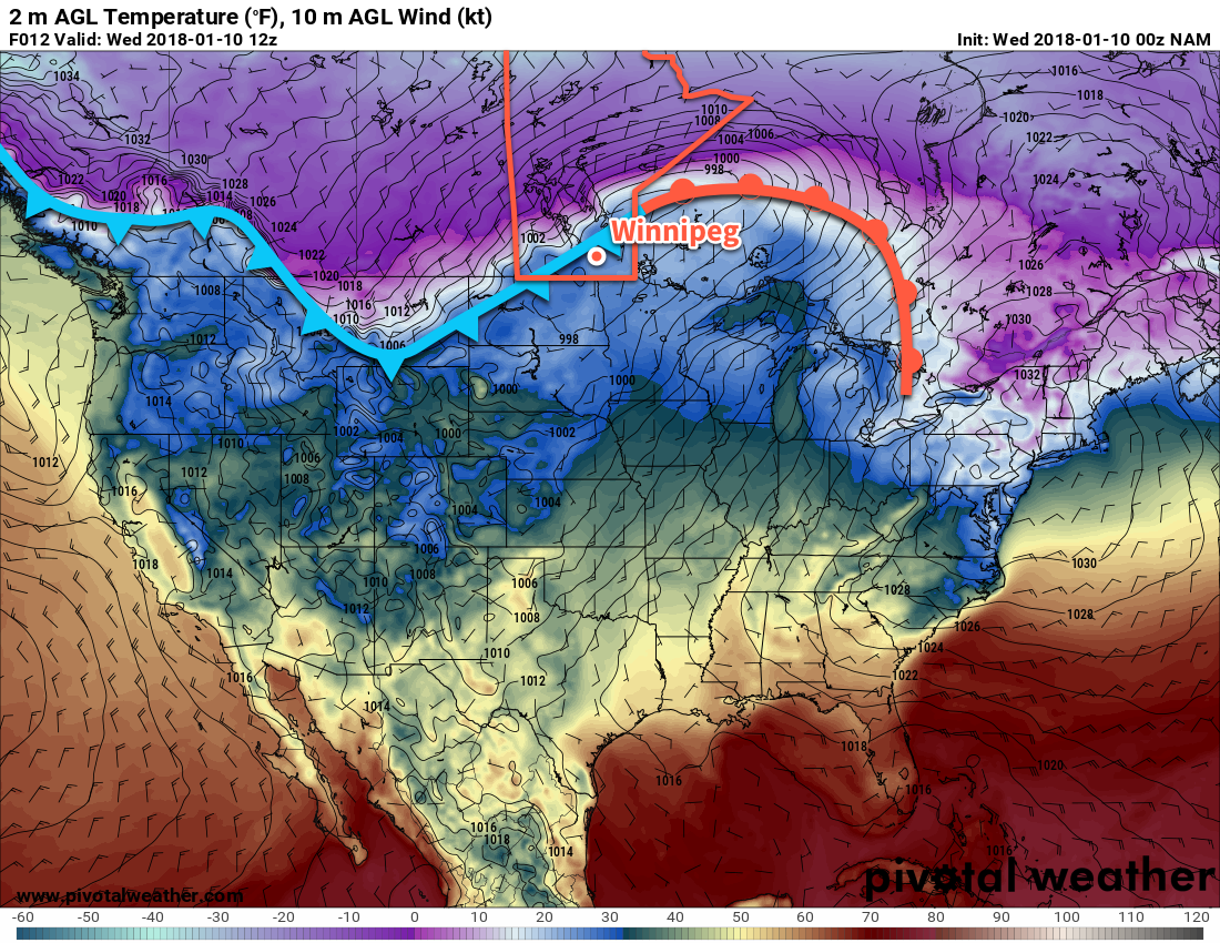
Conditions look cold and dry through the weekend and into the beginning of next week. Winnipeg will see variable cloudiness through the weekend as a weak disturbance passes to the south, but no accumulating snowfall is expected.

Long-range guidance suggests that temperatures will begin to climb back to seasonal to above-seasonal values in the second half of next week.

Winnipeg’s seasonal daytime high is currently -13°C while the seasonal overnight low is -24°C.

Mild Conditions Continue Until Mid-Week

Winnipeg will continue to see mild conditions for a couple more days, then a low pressure system moving through will usher in another surge of Arctic air.

Winnipeg will see sunny skies and seasonably mild conditions as a weak ridge moves across the province. Highs near -7°C combined with light winds will make for a beautiful January day that’s hard to complain about. Temperatures will dip to a low near -12°C tonight with a light southerly wind developing. Some cloud will begin to push into the region late overnight into early Tuesday morning.

Another surge of slightly milder air will move back into the region on Tuesday ahead of a developing low pressure system in Alberta. Temperatures will climb to around -4°C under mainly cloudy skies with winds out of the southeast at 20 to 30 km/h. An area of snow will spread eastwards across the central Prairies through the day, but at this point it looks like the snow will mostly remain north of a warm front which will be draped through western Manitoba and across the Interlake region. Temperatures will remain mild on Tuesday night near -4°C under cloudy skies with a chance of flurries and light winds.

RDPS Forecast 2m Temperature, Wind, and MSLP valid 00Z Wednesday January 10, 2018
An approaching low pressure system will keep temperatures mild on Tuesday night in Winnipeg, but much colder temperatures arrive on Wednesday

An Arctic cold front will sweep through early Wednesday morning, ushering in northwesterly winds of 30 to 40 km/h and sending temperatures in Winnipeg plummeting to around -19°C by evening. Skies will remain cloudy with a chance of flurries throughout much of the day. Skies will remain cloudy much of Wednesday night as temperatures drop to a low near -24°C by early Thursday morning.

Long Range Outlook

Below-seasonal temperatures will remain in place for the remainder of the week with daytime highs in the -22 to -18°C range and overnight lows in the mid-minus 20s right through the weekend. Conditions also look fairly dry, although a light skiff of snow may be possible on Friday as a low pressure system passes by through North Dakota.

There are hints of a more prolonged mild period developing next week, but models are still waffling on just how far north the warm air will make it and whether it will be continental feature, or primarily restricted to the United States. We’ll just have to wait and see on that one.

For now, get out there and enjoy the nice weather before that cold front arrives on Wednesday!

Winnipeg’s seasonal daytime high is currently -13°C while the seasonal overnight low is -24°C.

Winnipeg To See A Windy Return to Warmer Temperatures

This weekend, Winnipeg will see temperatures climb to the warmest values seen since mid-December, but along with the warmth will come wind and a chance of flurries.

Today will, notably, not be warm. Evident by the chilly temperatures this morning, southern Manitoba is still under the influence of a large Arctic high that’s slowly slumping south-southeastwards near the Ontario border into Minnesota. This high will bring mainly sunny skies to the Red River Valley today, but daytime highs will be cool at around -20°C. Fortunately, winds will remain light for much of the day.

Temperatures will dip to a low near -25°C this evening, then gradually warm overnight as the Arctic ridge moves off into Minnesota and a warm front begins pushing eastwards into Manitoba. Skies will cloud over late overnight as the wind picks up out of the southeast to around 30 km/h.

Saturday will bring cloudy skies to the region and be a fairly windy day as southerly winds of 40 gusting to 60 km/h remain in place until the evening when the warm front finally moves through the Red River Valley.1 Temperatures will climb to a high near -13°C late in the afternoon, but wind chill values will remain in the -20 to -30 range for much of the day. There will be a chance for some flurries through the day, but no accumulating snowfall is expected.

Temperatures will continue to rise Saturday night as warmer air continues to move into the Red River Valley; Winnipeg should wake up on Sunday to a temperature near -9°C. Skies will remain cloudy overnight.

GDPS Forecast 2m Temperature valid 00Z Monday January 8, 2018
A low pressure system moving through central Manitoba will draw much warmer air into the Red River Valley on Sunday

Sunday will, again, bring cloudy skies to Winnipeg, but temperatures will be quite mild with a high near -4°C. Winds will be fairly light out of the southwest in the morning, but then pick up out of the west at 20 to 30 km/h for the afternoon. Temperatures will dip to a low near -9°C on Sunday night.

Long Range Outlook

The relatively mild weather will continue into the beginning of next week as daytime highs hover in the low minus single digits for another day or two. A cold front will see through mid-week, bringing a chance of snow and a return to cooler temperatures with lows returning back into the -20s and daytime highs around the -20 to -15°C range.

Winnipeg’s seasonal daytime high is currently -13°C while the seasonal overnight low is -23°C.

  1. The warm front is being pushed eastwards by a developing low pressure system over the northern Prairies that will move across central Manitoba on Sunday.

Below-Seasonal Temperatures Return to Winnipeg

Tuesday offered brief relief from the cold, but with the passage of a cold front late in the day, cooler air has returned to the region sending daytime highs back into the -20s.

Over the next couple days, the weather for Winnipeg and the Red River Valley will be a result of an Arctic high slumping southwards through the province. This will produce partly cloudy skies both Wednesday and Thursday, with daytime highs in the -21 to -19°C range. Tonight will be the coldest night in the remainder of the week with lows dipping down to around -28 or -29°C, while Thursday night will bring a slightly warmer overnight low in the mid-minus 20s.

RDPS 2m Wind Speed Forecast with MSLP valid 18Z Thursday January 4, 2018
Much of Manitoba will be under the influence of an Arctic high on Wednesday and Thursday

Friday will bring mainly sunny skies, but winds will pick up out of the south-southeast later in the day to 20-30 km/h as the high centre moves towards Lake Superior and milder air starts to work in from the west. Winnipeg should see a high near -19°C, with cloud cover beginning to increase in the evening hours. Temperatures will climb overnight as the clouds thicken up and milder air begins working into the region, reaching around -16°C by Saturday morning. Some light snow will be possible over southwestern Manitoba, but at this point it seems unlikely that it would manage to push eastwards into the Red River Valley.

Long Range Outlook

This weekend has the potential to bring seasonal to slightly above-seasonal temperatures with daytime highs climbing into the -11 to -8°C range and overnight lows in the mid-minus teens. This is thanks to a low pressure system that will move through northern Manitoba; while there may be a chance for some light snow as it moves through, the accumulating snowfall will likely remain through northern and central Manitoba.

Winnipeg’s seasonal daytime high is currently -13°C while the seasonal overnight low is -23°C.