Heat and humidity will build back into Southern Manitoba this weekend, bringing both mid-summer warmth and the returning threat for severe thunderstorms.
Today will be a beautiful day for Winnipeg & the Red River Valley as a ridge of high pressure exiting the region continues to bring mainly sunny skies. Winds will remain light out of the south as temperatures climb to a high near 27°C. Tonight, under a few clouds, temperatures will dip down to near 14°C.
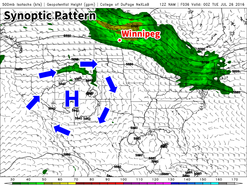
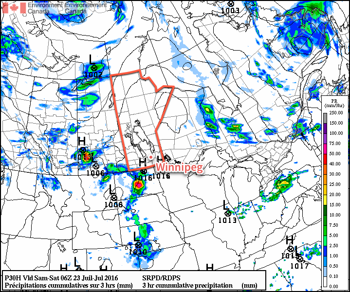
The weather pattern will begin to change on Saturday as a low pressure system developing over the Prairies begins drawing warmer, more humid air northwards into Manitoba. Daytime highs will be similar to Friday, around 27°C, however the humidity will begin to become a little more noticeable by the end of the day as the dewpoint climbs to the 16 or 17°C mark. Alongside the increasing humidity will come a slight chance of some late afternoon or early evening thunderstorms. The severe potential looks fairly limited at this time, as does the overall ability for any storms to organize, so while an isolated strong-to-severe storm may be possible, no widespread or organized severe threat is expected.
Temperatures will then dip down to around 17°C on Saturday night with a few clouds.
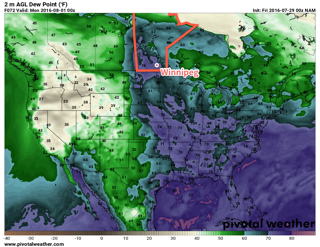
Sunday will see the warmest air move into the Red River Valley alongside an increment in humidity. Daytime highs will climb to near the 30°C mark along with dewpoints rising to near the 20°C mark, making it feel quite muggy. Humidex values, a "feels like" temperature that combines temperature & humidity values, will be in the upper 30's, making for quite a hot day. Skies will be mixed, and a breezy southerly wind will be in place through the Red River Valley at 20-30 km/h.
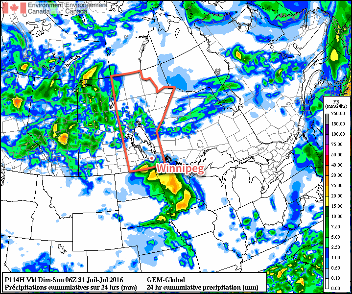
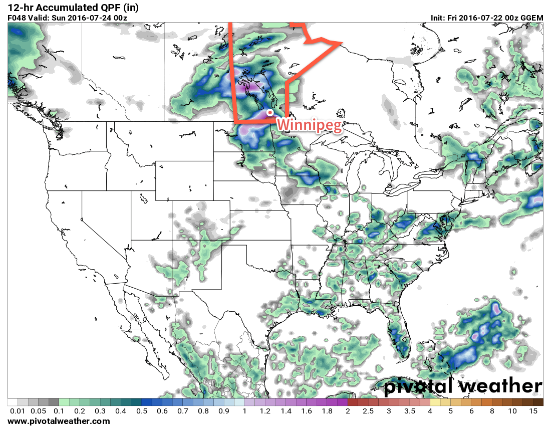
Sunday night will be a warm one with temperatures dropping only to around 20°C. A threat for thunderstorms return with a likely severe threat. Over 2500 J/kg of MLCAPE will be in place over parts of the province, alongside 35 kt of bulk shear and strongly veering wind profiles. This suggests an all-threats severe hazard, including a tornado threat in the early hours of storm initiation over Southwestern Manitoba. As the thunderstorms progress eastwards, the threat will likely shift to strong wind and large hail.
Long Range
Next week is looking like a return to more unsettled weather. Uncertainty exists with the thunderstorm system at the end of the weekend, with some models suggesting a slower progressing system that would result in more of a rain/storm threat on Monday instead. After a brief reprieve from that system, another one looks to be on the doorstep for mid-week that will bring another chance for rain and thunderstorms. Following that, the week will end off slightly cooler than seasonal.
Winnipeg’s seasonal daytime high is currently 26°C while the seasonal overnight low is 13°C.