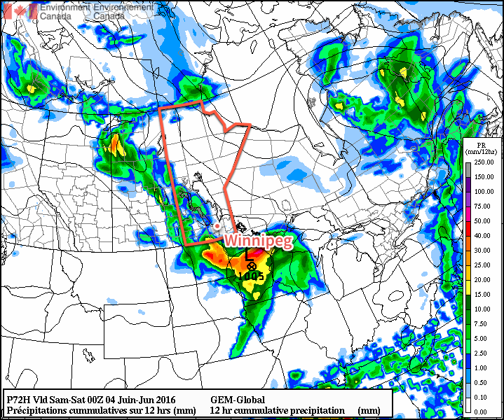
The first real notable surge of summer air is on the way for Winnipeg as a broad southerly flow develops ahead of a slow-moving low pressure system moving across Saskatchewan. This organized flow of southerly air will tap into Gulf moisture[1], bringing the first notably humid spell of 2016 to Winnipeg. Alongside the heat and humidity that will move in, there will be a threat of thunderstorm development across Southern Manitoba, of which severe storms are certainly possible.
Today marks the start of the summer surge moving into Southern Manitoba as light southerly winds develop over the Red River Valley and warmer air aloft begins to move into the region. Skies will partly cloudy to mixed through much of the day as temperatures climb to a high near 24°C. The humidity will still be fairly comfortable today with dewpoint values in the low teens.
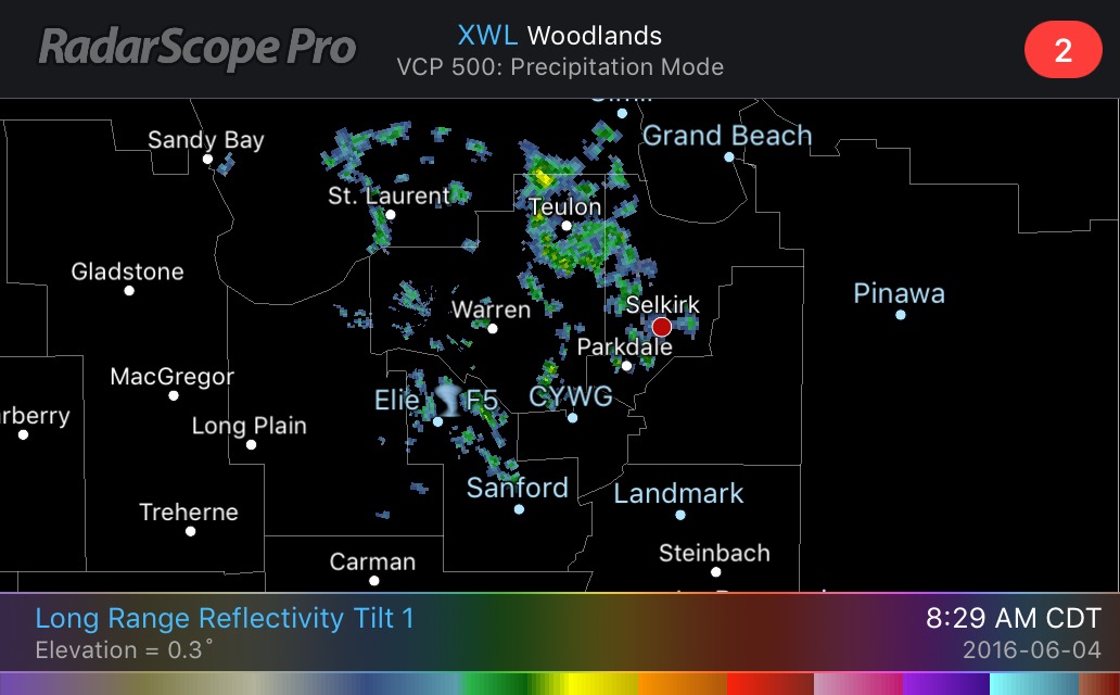
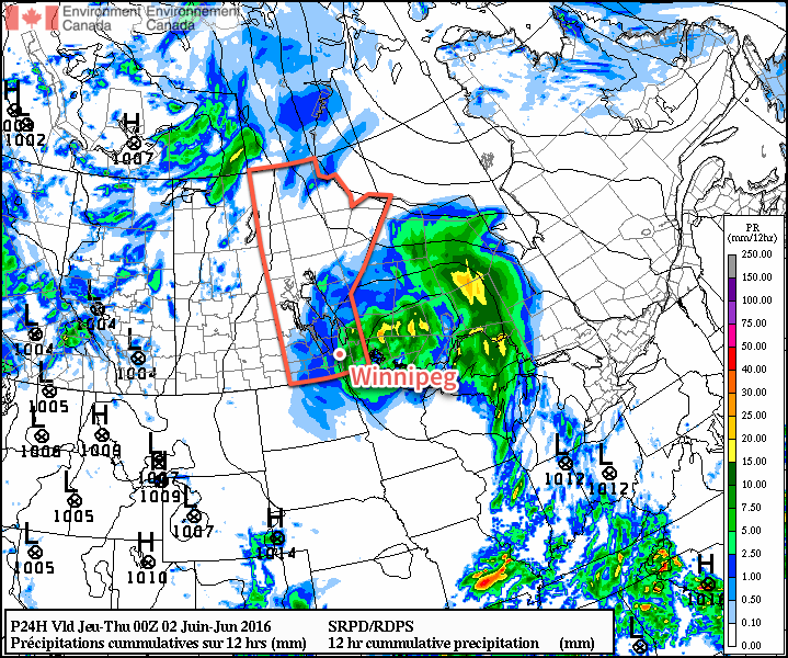
Heading into the late afternoon and evening, cloud cover will thicken up over Winnipeg & the Red River Valley as some precipitation develops associated with instability ahead of the approaching warm front. Winnipeg will see a decent chance of seeing some light rain overnight, but amounts will likely remain under a few mm. Temperatures will dip to a low near 14°C tonight.
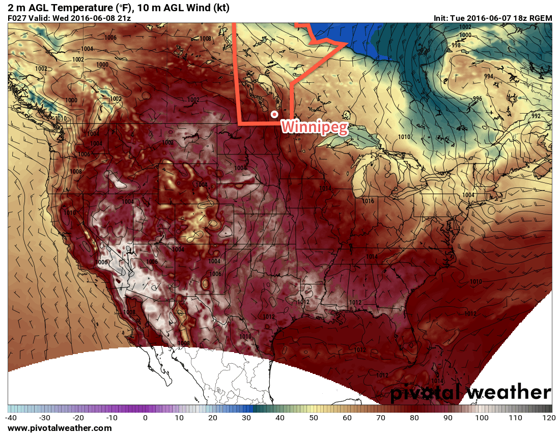
Thursday will be the most significant day over Southern Manitoba as the full brunt of a hot and humid air mass settles over the province. Temperatures will soar to a high near 28°C while the humidity becomes particularly swampy, with dewpoint temperatures likely to climb to the 19-21°C range. This will feel quite sticky, especially as the first humid spell of the year, as humidex values climb toward the mid-30’s for the afternoon.
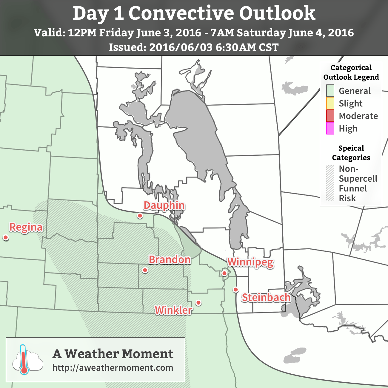
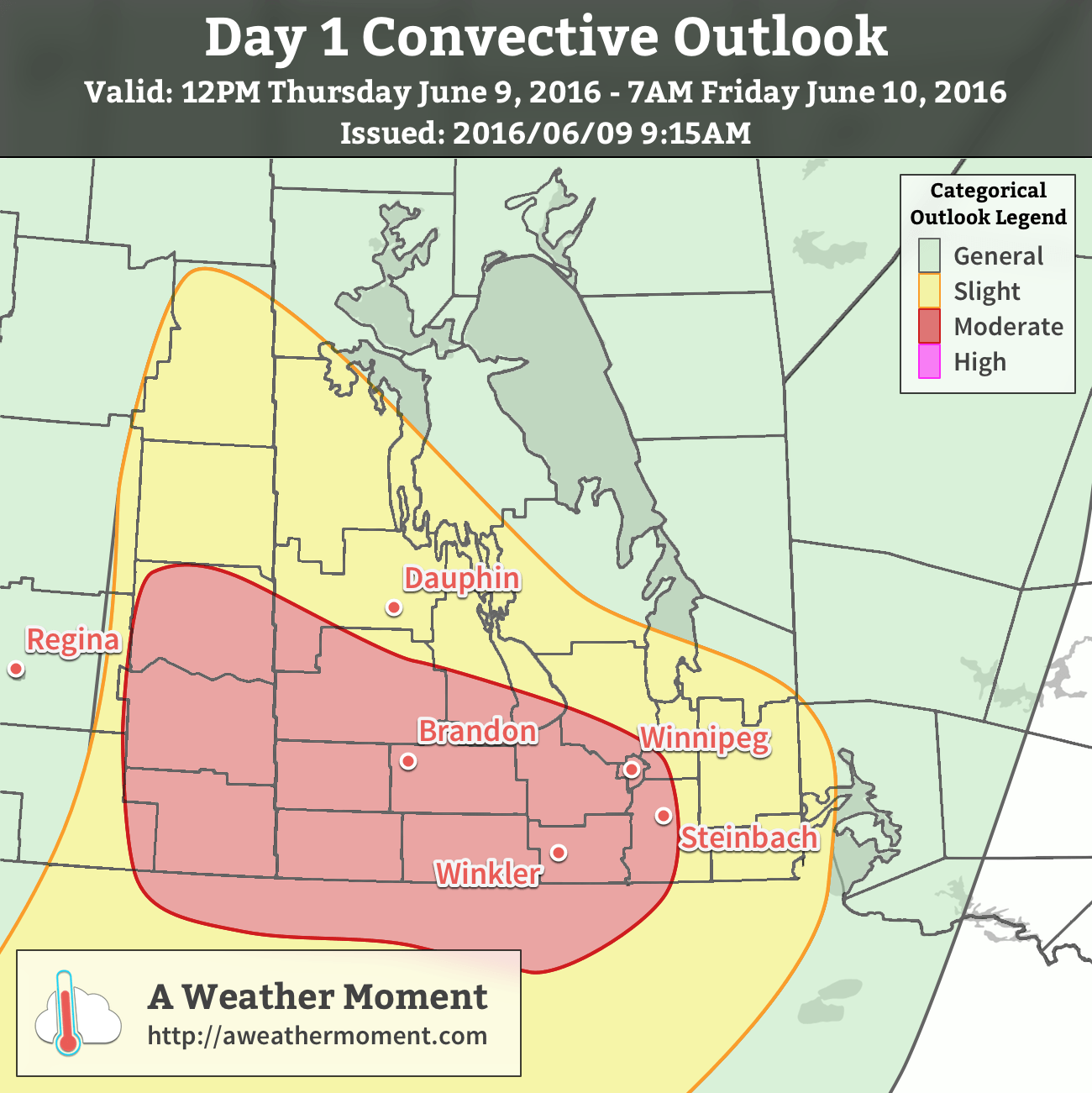
With the heat and humidity in place, attention turns towards thunderstorm potential. This setup has been interesting to watch develop over the last week as models have struggled to resolve exactly how much moisture would arrive in the province and how warm temperatures aloft would get. That said, there’s a severe thunderstorm risk today that will start over southeastern Saskatchewan with afternoon thunderstorm development possible. The threat will then shift eastwards through the evening and overnight with thunderstorms transitioning from surface-based to elevated as the low-level jet strengthens, helping the scattered afternoon activity grow upscale into a larger area of rain and thunderstorms.
Taking a more technical look at it, as usual we return to the basic MIST principles:
- Moisture: With surface dewpoints climbing towards or even over 20°C, ample moisture will be in place for thunderstorm development. The low-level jet that develops Thursday evening will also be helping propagate elevated moisture levels northwards.
- Instability: Significant instability is in place with MLCAPE values in excess of 2000 J/kg developing over much of th region. MUCAPE values continue above 2000 J/kg through the overnight period. CAPE also appears to be fairly "fat", bolstered by potent mid-level lapse rates over 8°C/km.
- Shear: Ample speed and directional shear will be in place with 0-6km bulk shear values of 35-50kt and strongly veering profiles. Low-level wind profiles in eastern Saskatchewan & western Manitoba will favour discrete supercell thunderstorm development with storm motion to the east-southeast.
- Trigger: Strong solar insolation coupled with an incipient thermal wave and associated boundaries should provide multiple foci for thunderstorm initiation.
In general, it’s expected that discrete supercell thunderstorms with primary threats of damaging hail, wind gusts in excess of 100 km/h and a non-zero tornado threat. These storms will likely be scattered and progress to the east-southeast. As the evening wears on and the low-level get strengthens, the scattered activity has a high probability of growing upscale and organizing into an MCS[2]. If an MCS develops and moves eastwards, then the primary threats will be heavy rain and damaging hail. There is growing confidence that the MCS will develop into a bow echo, which is a fast-moving storm that produces severe wind gusts. Should this occur, than much of southwestern Manitoba and the Red River Valley will see a very significant threat of damaging hail and severe winds.
Temperatures will remain quite warm on Thursday night with low temperatures throughout the Red River Valley near 20°C.
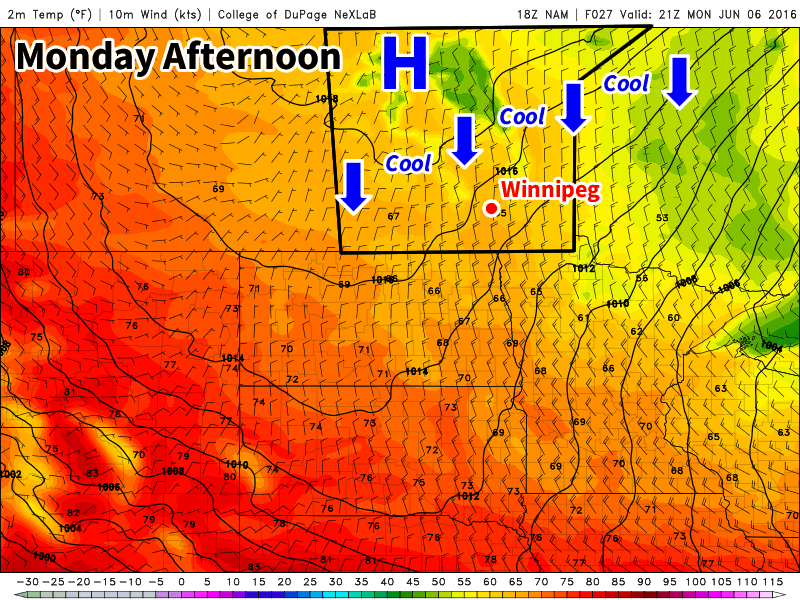
Friday will continue to be warm with mainly sunny skies once any overnight convection clears out of the region. Temperatures will rocket to the upper 20’s by midday and while the highest humidity will push off to the east, it will still remain a bit muggy with dewpoint values stabilizing near 15-17°C. Winds will shift to be out of the northwest at around 20km/h. Expect a low on Friday night near 15°C.
Winnipeg’s seasonal daytime high is currently 23°C while the seasonal overnight low is 10°C.
- In the summer, deep southerly flows over the Eastern Prairies tap into humidity from the Gulf of Mexico and pull it northwards across the Great Plains and into the Southern Prairies. ↩
- Mesoscale Convective System: A cloud system that occurs in connection with an ensemble of thunderstorms and produces a contiguous precipitation area on the order of 100 km or more in horizontal scale in at least one direction. ↩
