A Brief Return to Summer

A very cool start today with temperatures in the low single digits will be the last of the near-freezing temperatures we’ll see for a while thanks to a push of warmer air spreading eastwards across the Prairies that will bring summer-like warmth back to the region. The warmer weather will be a welcome sight to many after a week that has seen distinctly fall-like weather and gloomy cloud.

All in all, there isn’t much to talk about on the weather front for the coming days. Today will start off quite cool and see the temperature gradually rise to around 19°C. There may be some fog patches around this morning, but they should burn off fairly quickly after the sun rises. Winds will be fairly light and other than some afternoon clouds bringing mixed skies, there won’t be much going on in the Red River Valley. Temperatures drop to around 10°C under clearing skies tonight.

Tomorrow will see warmer weather begin to work into Southern Manitoba as a flow of warmer air pushes in from the west. Winds out of the south at around 20km/h will mark the arrival of the warmer weather, sending daytime highs to around the 23°C mark across the region under mainly sunny skies. Our overnight low will be considerably warmer tomorrow night at around 13°C.

Forecast 850mb Temperatures valid Saturday Morning from the NAM
Westerly winds at 850mb – approximately 1.5km above the ground – will be ushering warmer temperatures to Manitoba for the weekend. This image shows warm advection over Manitoba on Saturday morning from the NAM forecast model.

Sunday will the the warmest day of the next few with a high around 26°C under mainly sunny skies. The winds will be a bit more notable, strengthening out of the south to around 30km/h with some gustiness possible on top of that. Overall, though, it will be a very pleasant day. Expect an overnight low just a tad cooler than Saturday at around 11°C.

Cooler Start to Next Week

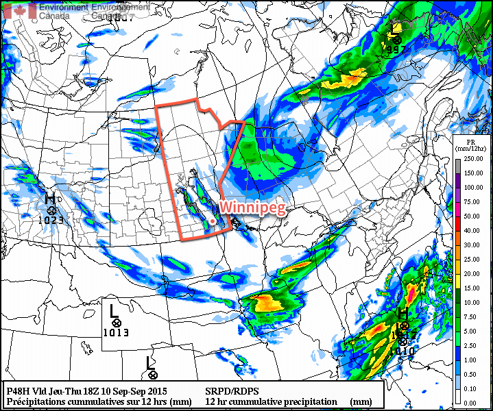
A weak cool front slumping southwards on Sunday night looks to stall over extreme southern Manitoba on Monday, bringing a bit more cloud cover and cooler daytime highs through the first half of the week. Precipitation looks fairly minimal for areas along and south of the Trans-Canada highway, but a more organized chance for precipitation appears to develop for the northern Parkland & Interlake into Central Manitoba as a low pressure system develops and lifts northeastwards mid-week. This should once again bring warmer weather back to the Red River Valley.

A Hint of Fall

The weather through the second half of the week will have a distinctly fall-like feel to it as a building ridge of high pressure over the Prairies brings cooler weather to Southern Manitoba with daytime highs in the upper teens and overnight lows in the single digits.

Thanks to a high pressure system building in from the Arctic, temperatures will be fairly cool over the coming few days with daytime highs around 18°C and overnight lows in the mid-to-upper single digits. Winds will be out of the northwest at around 20km/h today and tomorrow, however swing around to the south for Friday.

The only real notable weather will be tonight. With very cool air pushing into Southern Manitoba[1], lake-effect cloudy and precipitation will likely develop overnight into Thursday morning. Showers or drizzle are possible in the lee of the lakes beginning late in the evening tonight until mid-morning on Thursday. Even if the precipitation doesn’t occur, some cloudiness is a certainty, so expect cloudy or mixed skies on Thursday morning with a clearing trend into the afternoon.

The RDPS forecast model is picking up on the potential for lake-effect precipitation overnight into Thursday morning, shown here by the trails of precipitation accumulation in the lee of hte lakes over Manitoba.

Otherwise, the weather will be quite benign for the remainder of the work week.

Long Range Outlook

Looking ahead to the weekend, it looks like warmer weather will begin to return to the region. Daytime highs will climb back into the mid–20’s with breezy southerly winds on Saturday. Sunday will feature a high in the mid–20’s again with strong southerly winds ahead of a developing low pressure system. There looks to be a slight chance for some rain on Sunday evening/overnight into Monday, however the odds look slim at this point.

All in all the weather will be fairly nice for the coming 5 days, so enjoy it; just remember to begin packing a jacket or sweater for the evenings!


  1. 850mb temperatures tonight are forecast to fall to around 3°C.  ↩

Cooler Week Ahead

This week will be significantly cooler than last week as we see cooler air filter down from the north. However, temperatures will remain at, or slightly above, seasonal values.

Monday

Today will see temperatures in the low to mid twenties under a mixture of sun and cloud. There may be a few showers throughout the day as we remain behind a departing low pressure system. Winds will be breezy from the south-west.

Tuesday

Tuesday will be a mainly cloudy day with a strong likelihood of showers. Despite the departure of Monday’s low pressure system, a large upper disturbance will remain to our north, helping to generate additional precipitation. Accumulations from these showers isn’t expected to be large, but the chance for more rain is definitely not welcome in most of southern Manitoba.

RDPS 500mb Heights & Vorticity for Tuesday Morning
Shown here by the RDPS 500mb forecast, a large upper-level low will impact much of Manitoba on Tuesday.

Wednesday

Wednesday will see very similar conditions to Tuesday. There will once again be a strong chance of rain, with accumulations perhaps a bit higher than Tuesday. This round of rainfall will be the result of a new system moving up from the northern United States.

Long Range

The long range forecast suggests we’ll generally see near seasonal conditions over the next week, which means high temperatures near 20C. At this point long range models suggest we may turn toward cooler conditions by mid-month, but it’s too early to tell if that will come to fruition.

Massive Hail Pummels Central Italy

Conditions were ripe overnight Friday into Saturday morning in Central Italy for severe thunderstorms – these brought very large, damaging hail to the region.

[map autofit=”1″ disable_scrollwheel=”1″] [pin]Tyrrhenian Sea[/pin] [pin]Pozzuoli[/pin] [/map]

A large upper level trough to the west of Italy, slowly digging eastward provided sufficient lift, as well as strong upper level winds contributing to sufficient shear being in place for severe storms. Ahead of this trough, a large area of very warm, moist air originating from the Mediterranean was present. In this warm and unstable environment, MLCAPEs of 3,000J/kg were in place which was more than enough to sustain strong updrafts. Finally, slicing into this airmass was the cold front which acted as a mechanism to trigger the storms. With all of this combined ESTOFEX (European Forecasting Storm Experiment) had issued a maximum level three watch area – meaning that there was a 15% chance of “extremely severe weather” being reported within the area of concern.

This forecast definitely checked out. On Saturday morning, local time, a supercell fired over the Tyrrhenian Sea (which later evolved into a well-organized MCS) and brought with it 10-12cm diameter hail to the city of Pozzuoli Italy, located near Naples. To put this into perspective, you would need an updraft velocity speed of roughly 170km/h to suspend a hailstone of that size. Widespread damage occurred to an estimated 70,000 buildings, vehicles could be seen with major dents and blown out windshields and crops/livestock sustained major damage in the area, thankfully there were no injuries to residents reported.