State of the Climate: Meteorological Spring 2014

Meteorological Spring Stats and Rankings for Winnipeg
Category Spring 2014 Total or Average Rank (since 1872)
High Temp. 5.6°C Tied 19th Coldest
Mean Temp. -0.4°C Tied 20th Coldest
Low Temp. -6.2°C Tied 22nd Coldest
Rainfall 67.2 mm 59th Least Rainy
Snowfall 31.4 cm 59th Snowiest

Despite a seasonal May temperature-wise, the meteorological spring[1] of 2014 still averaged well below normal thanks to a frigid April and March. The spring averaged -0.4°C, 3.8°C below the 1981-2010 normal of 3.4°C. Thus this was the 9th coldest spring in the last century and tied for 20th coldest since 1872. In comparison, last spring in 2013 was a tad colder, averaging -0.6°C. It was just 2 years ago that we experienced our 2nd warmest spring on record. We’re sure paying for that now!

A Variety of Weather Conditions in May

Because I’ve already talked a lot of about March and April in 2014 – The Year so Far a few weeks ago, I’ll talk mainly about the month of May in this post.
May started out just like every other month since last fall: below normal. Things began warming up mid-month with our first 20°C of the year on May 10 when we reached 23.2°C. This marked the 18th latest first 20°C of the year since 1872 and the latest since 1996 when we did not reach 20°C until May 18. The 1981-2010 normal is April 20 and thus, we were a good 3 weeks behind schedule this year.

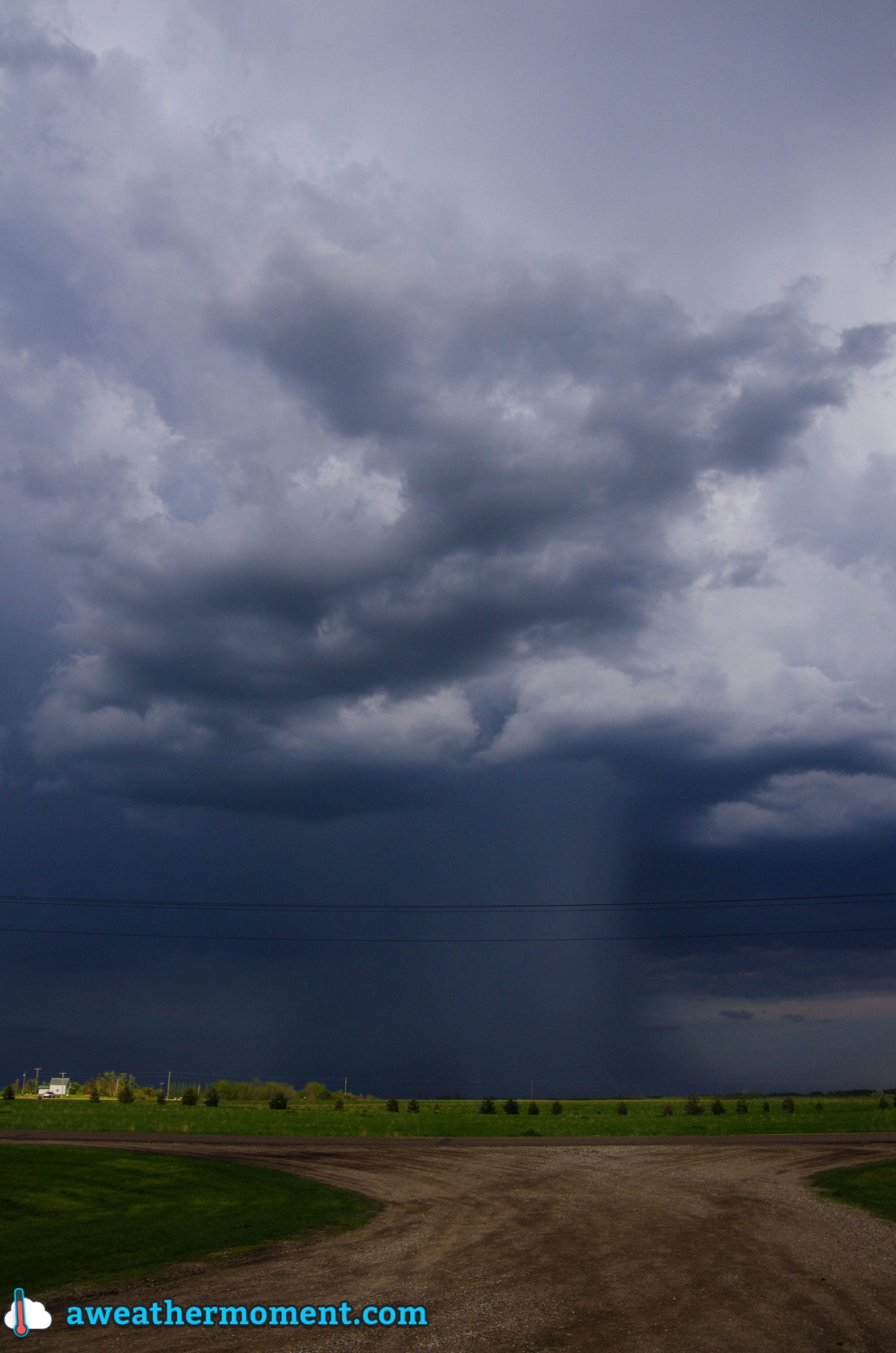
After some snow on May 14, mother nature had a dramatic mood swing in the 3rd week of May as July-like conditions arrived. Just 10 days after seeing snow, temperatures soared to a record 33.3°C on May 24, breaking the old record of 32.7°C in 1980. This also marked the first 30°C reading in May since 2007 and was the hottest May day since 1995. Temperatures soared again on May 29, reaching 32.7°C. With two days above 32°C, it was the most 32°C+ days in May since 1995 when there were also two.
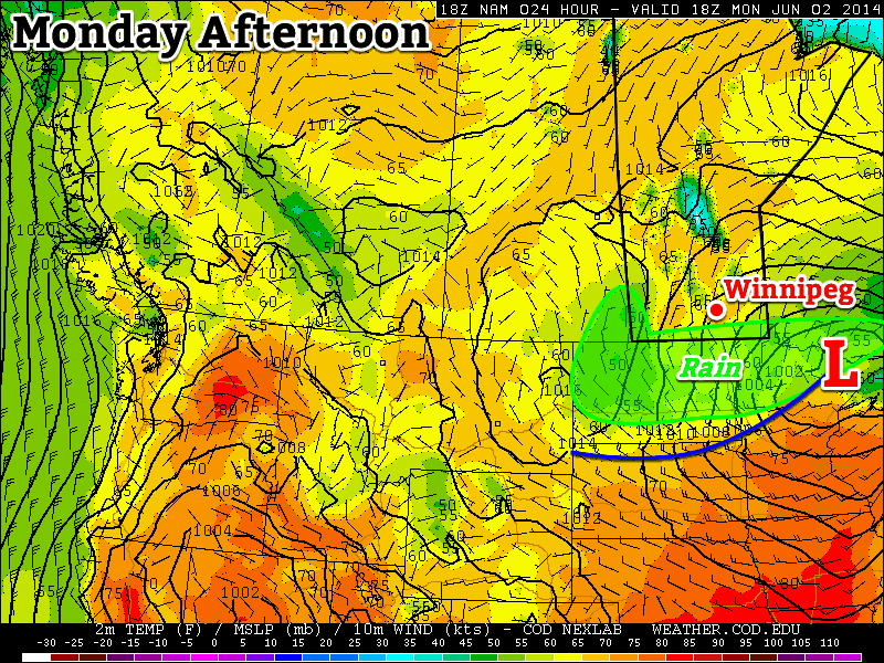
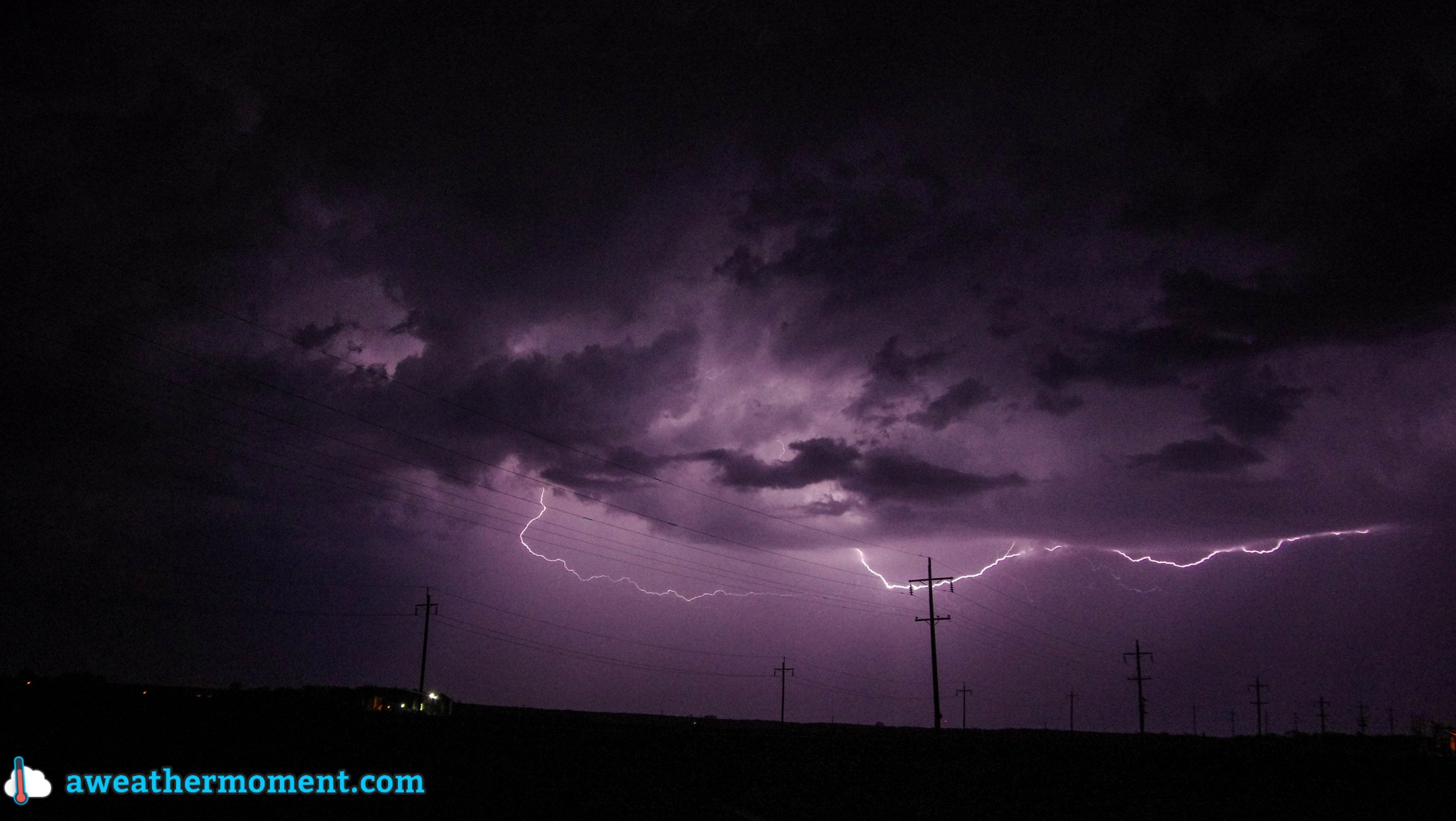
With the warmer weather came thunderstorms. Winnipeg received its first thunderstorm of the season on May 20, the 8th latest start to the thunderstorm season since 1953. This follows the 2nd latest start last year. 1981-2010 normal first thunderstorm of the year is April 27.

In the end, May averaged 11.3°C which is pretty much bang on the normal of 11.4°C. However, at 0.1°C below this normal it is just enough to continue the streak of colder than normal months. May stands as the 8th consecutive colder than normal month, a streak which began last October. This ties for 7th longest below normal streak since 1872.

Top 12 Longest Streaks of Colder Than Normal Months Since 1872
Rank # of Consecutive Below Normal Months Timeframe
1 18 months Dec 1882-May 1884
2 14 months Jul 1884-Aug 1885
3 11 months Oct 1887-Aug 1888
4 9 months 1949/50, 2008/09 & 2012/13
7 8 months 6 occurrences (including 2014)

Thankfully, May ended a 5-month streak of months averaging over 3.5°C below normal, the longest streak of its kind since 1872. Prior to this year, the longest was just 3 months.
May this year also continued a now 2 decade-long trend of cool Mays. We have not had a top 35 warmest May in 23 years. The last time was in 1991 which featured a tie for 5th warmest May. Since then, 6 Mays were among the top 35 coldest.

The Year So Far

The monthly and accumulated year-to-date temperature deviation from the normal monthly average temperatures.

So far this year we have averaged -8.2°C (January to May), 4.2°C below normal and the 16th coldest first 5 months of the year since 1873. It is also the coldest since 1996 and the 5th coldest in the last century. This is little improvement from the 15th coldest first third of the year (January to April) we experienced.


  1. Meteorlogical spring lasts through the months March, April and May.  ↩

Normal Weather Through Early Week

The first part of this week will feature fairly typical early-June conditions, with temperatures in the low twenties and a chance of rain.

 Areas along the International Border may see some rain on Monday
Areas along the International Border may see some rain on Monday

Monday

Monday
18°C / 9°C
Chance of Showers

Today will see a chance of showers over all of southern Manitoba. In areas near the International border, there may be more than showers, with periods of rain and perhaps even some embedded thunderstorms. Accumulations along the border should generally not exceed 15mm, but there could be locally higher amounts if any thunderstorms develop. In areas further north, such as Winnipeg, it should be a fairly uneventful day overall, with temperatures in the upper teens and a breezy north wind.

Tuesday and Wednesday

Tuesday
23°C / 10°C
Mainly Sunny
Wednesday
25°C / 13°C
Mainly Sunny

Tuesday and Wednesday look like uneventful days in southern Manitoba. Temperatures will be in the low to mid twenties with light winds and mainly sunny skies. There’s certainly nothing wrong with that!

Long Range

The long range forecast suggests we may see a risk of thunderstorms on Thursday, followed by cooler weather for late week into the weekend. We’ll likely rebound to seasonal or above-seasonal values at some point next week.

Elsewhere in Weather News: May 31st, 2014

Saskatchewan/Manitoba Border Chase – May 29th, 2014

Three quarters of the A Weather Moment team (plus a U of Manitoba student) went storm chasing on Thursday. This is a summary of what happened, written by Scott.

We left Winnipeg around 11am and drove straight to Brandon, arriving by 1:30pm. Once in Brandon we made our obligatory stop at Subway and reassessed the situation. We figured from Brandon we’d have to go west for sure, but the question was whether to go straight west, north-west, or south-west. We opted to not commit, and just drive another 45min west to Virden to reassess there again.

While in Virden we noticed a decent looking cell coming out of Saskatchewan, but it was expected to move well north into the Riding Mountains. We drove toward it a bit in case it decided to right move, but of course it did not (it was heading into the forest), so we then backtracked to Virden. On our way back we saw some good activity developing near Melita, so we went to investigate that. Upon arrival in Pipestone (just north of Melita), we got a clear view of that Melita storm, but it was featureless and high based…yuck. It then appeared that there were some supercellish structures coming out of Saskatchewan, so we figured we’d check them out. The surface winds in their vicinity had already switched to westerly, but we figured if they moved into Manitoba quickly enough they might have a chance. However, we quickly found out they were already too far behind the front for that to happen. So that was that, no supercells for us! We then turned around and started heading for home.

High based storm near Pipestone; featureless with a rain/hail shaft. (Taken by Matt)

As we drove back, a couple of core punches were performed around Brandon to get through a line of storms. Upon reaching the other side of the line near Carberry it was getting dark, so we decided to stop for lightning pictures – good idea. The lightning was beginning to pick up and some CG strikes were noted. It then began to rain and we moved east again to Portage and stopped for more pictures – very good idea! In Portage there were powerful CG strikes every 5-20 seconds (roughly), which made for many really great pictures. We took pictures there for a while, but then it started to rain again, so we moved east again, this time to Oakville.

Fork lightning south of Portage. (Taken by Matt)
Overall, it was a disappointing day for daytime storms, but the nighttime lightning made up for a lot of that. Even though the storms weren’t that great, it was still a fun day just chatting and joking about our misfortune. It’s only May after all, so we’re still in a bonus month for storms as far as I’m concerned.

Quieter Weather

After what ended up being a fairly busy thunderstorm week considering it’s not even June yet, the weather is expected to settle down for the next while with pleasantly mild temperatures and little in the way of precipitation.

Friday
25°C / 15°C
Cloudy with sunny breaks. Chance of showers or thunderstorms this morning. Chance of showers overnight.

Saturday
24°C / 13°C
Mainly cloudy; clearing later in the day.

Sunday
22°C / 13°C
A few clouds.

Friday

Today will be quite a pleasant day overall. Any remaining showers along the cold front will move through by midday, then leaving us with mostly cloudy skies, although we’ll likely see a few sunny breaks. Temperatures will be mild with a high near 25°C and winds will be fairly light out of the northwest.

Skies will be cloudy tonight as a disturbance tracking through North Dakota spreads some cloud and showers northwards. Here in Winnipeg, there’s only a very marginal chance that we might see some light shower activity. The risk will increase in the Red River Valley towards the US border, with the greatest risk being in the SE Red River Valley. Even so, amounts are only looking to be in the 2-4mm range.

Expected precipitation from the NAM on Saturday night.

For any weekend campers, the Sprague region looks likely to see some rain tonight with accumulations of around 5-10mm. Further north in the Whiteshell there’s only a chance of showers similar to that in the Red River Valley.

The overnight low in Winnipeg will be near 15°C.

The Weekend

The weekend is shaping up to look very nice. Saturday will bring mixed-to-cloudy skies clearing sometime late in the day or in the evening. There may be a slight chance of a few light, lingering showers through the morning.
The high will be around 23 or 24°C and the overnight low will drop to near 13°C.

Sunday will bring mainly sunny skies with some scattered afternoon clouds and a high in the low 20’s. Sunday night will feature clear skies and a low near 13°C.