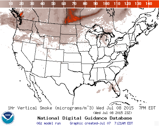
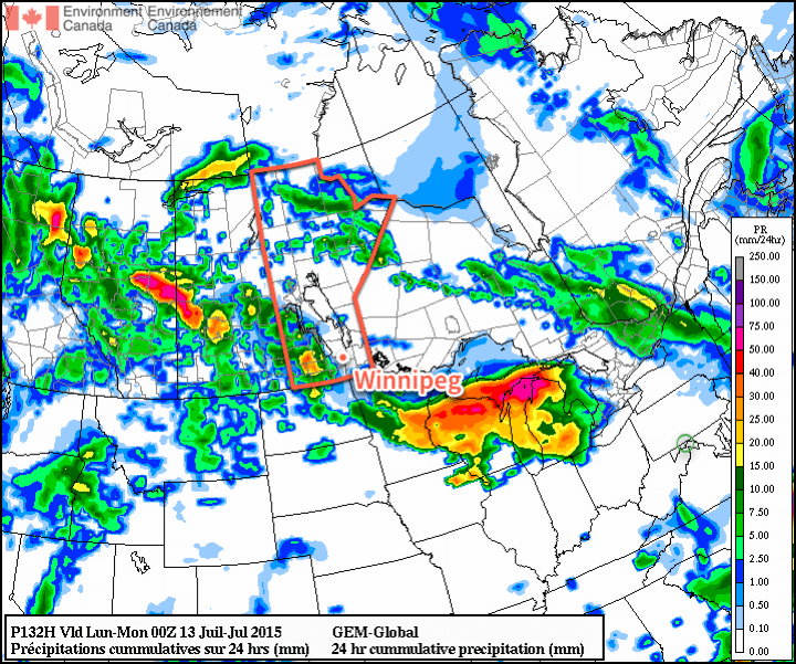
Today will be a bit of a mixed bag here in Winnipeg as a dying cold front completes its slump into Southern Manitoba bringing a chance of showers alongside another batch of forest fire smoke gradually working into the Red River Valley. Fortunately, winds will become more southwesterly as the week progresses, pushing the smoke to our north and bringing back hot summer weather to the area.
Today will start off with a slight chance of showers or thunderstorms until around midday after which the clouds will start pushing off to our southeast and see increasingly smoky skies build in. Temperatures will only climb to around 21°C today and then dip down to the low teens tonight.

Thursday and Friday will herald the return of summer. Winds will shift more westerly to southerly and begin tapping into warmer air to our south. There should be a deep enough layer of southerly winds to push the smoke north of Winnipeg through the day. Temperatures will be soaring into the upper 20’s on both days under mainly sunny skies.
The biggest difference between Thursday and Friday will be the humidity; while dew points in the mid-teens on Thursday will make it feel slightly humid, it’s expected that dew points will climb up to the 20°C – or even a bit higher – for Friday, making it feel downright tropical out there.
Overnight lows on Thursday & Friday will be in the upper teens.
Unsettled Weekend?
Weather models are pointing towards a potentially unsettled weekend as a large upper-level low lifts northwards into Alberta with a deep trough extending southeastwards across the Prairies.

It’s not worth getting caught up in details at this point when dealing with a large, highly convective system such as this. The main thing to take away is that with a large low lifting into Alberta, it’s likely our weekend will continue humid, warm and potentially bring some wet weather.
