Cool and unsettled weather will continue across southern Manitoba into the weekend.
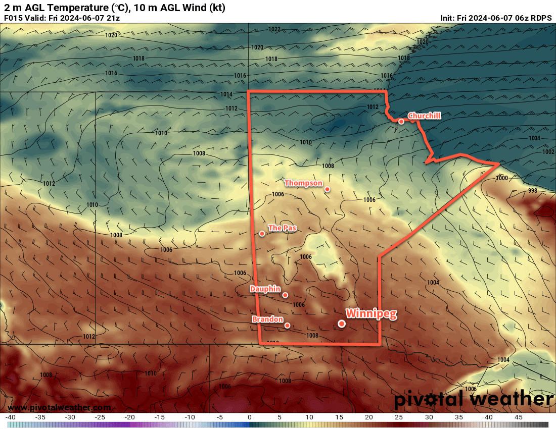
A slow-moving upper low will continue to impact the region today as it slumps southeast out of Saskatchewan. It will bring breezy westerly winds to the region as highs climb to around 20 °C. Like yesterday, morning sun will give way to afternoon cloud as another weak disturbance ripples through the region. It will bring a chance of showers or thunderstorms to much of southern Manitoba, but the Parkland and Interlake regions will see the most of the activity.
The convective showers will taper off this evening and skies will clear. Temperatures will head down to a low near 10 °C with light winds.
On Saturday, the upper low will move through southern Manitoba. Temperatures will again head to a high near 20 °C but winds will be lighter than they will be today. A sunny start will turn to mixed skies with a low chance of a shower or thunderstorm in the afternoon. Everything will clear out with the lowering evening sun, then temperatures will head to a low in the 5 to 10 °C range.
On Sunday, another sunny start will give way to mixed to cloudy skies as a hang-back trough from the departing upper low swings through. It doesn’t look like there will be much of a chance of showers, but it will be a cool day. Daytime highs in the region will reach into the 15 to 20 °C range with north winds at 20 to 30 km/h. At the risk of sounding like a broken record, skies should clear out for Sunday night as lows head down into the single-digits.
Long Range Outlook
Next week will likely bring a return to seasonal temperatures, but there will be a series of disturbances that bring more wet weather to southern Manitoba:
- On Monday night, a low pressure system moving into the region from North Dakota could bring widespread showers and thunderstorms to southern Manitoba. This system could bring a variable 10 to 40 mm to the region.
- A disturbance clipping through the region on Wednesday could bring a chance of scattered showers and thunderstorms to central and southern Mantioba.
- …and again on Thursday, though at this point it looks like any precipitation should stay north of Winnipeg.
- And then looking irresponsibly far out, another convective system from the United States could move into the region on Saturday into Sunday, bringing moderate rainfall to parts of the province in showers and thunderstorms.
No dry stretches in the forecast for our area anytime soon! As long as the rate of moisture accrual stays manageable, this could be a positive stretch of weather for many. Moisture is available for germinating plants, we’re not being roasted too early in the year, the frequent showers and seasonably cool conditions are helping fire conditions across the province, and the replenishment of groundwater will help areas of the province that have had to resort to water restrictions at times in recent years due to limited water supply.
We’ll be back next week; have a great weekend!
Today’s seasonal daytime high in Winnipeg is 23 °C while the seasonal overnight low is 10 °C.