A Taste of Summer Arrives for the Weekend

Winnipeg will get its first taste of summer this weekend as hot temperatures move into the region and bring a chance of showers or thunderstorms.

RDPS 2m Temperature Forecast valid 21Z Saturday May 11, 2024
Saturday will bring hot weather to southern Manitoba with daytime highs in the upper 20s.

Today will start with lingering cloud and/or showers from a cold front that moved through overnight making its way out of the region. The rest of the morning will be sunny, then skies will become mixed for the afternoon. It won’t be as warm today as yesterday; moderate northwest winds up to 40 gusting 60 km/h will limit daytime highs in the area to around 20 °C.

The wind will quickly ease this evening, then temperatures will cool off towards 10 °C tonight. More cloud will build into the area overnight as a warm front approaches from the west. There’s a small chance of scattered showers early Saturday morning as the warm front moves through.

On Saturday, the region will see mixed skies as moderate westerly winds up to 30 gusting 50 km/h move into the region. With the warm front through, temperatures will climb into the 25 to 30 °C range; likely topping out at 26 or 27 °C. Dew points will stay in the mid to upper single digits through the day, sending relative humidity values down to the 20–30% range. The warmth, dry air, and moderate winds will increase the fire risk for the day across the region.

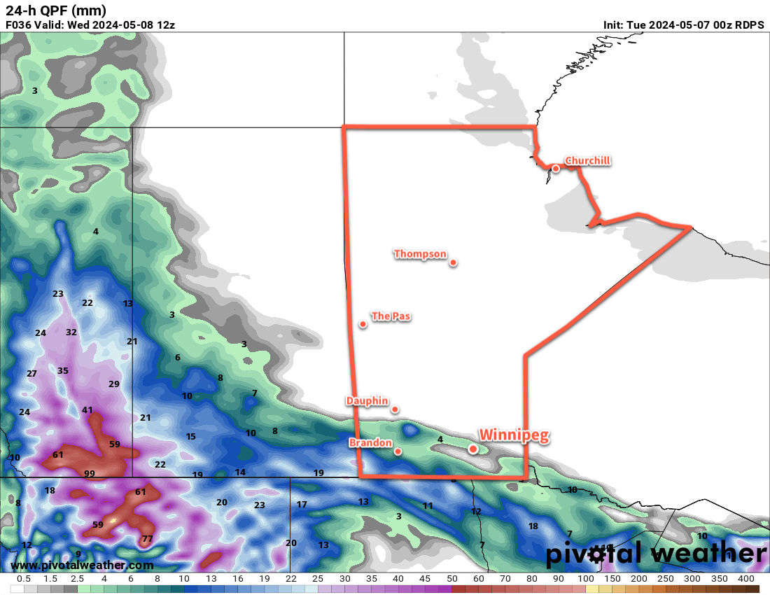
A cold front will slump into the region on Saturday evening and will trigger scattered showers and the risk of thunderstorms. With a dry air mass in place over the region, there will be little energy for any convection to work with. This will mean severe weather is unlikely, but strong and gusty winds are possible with any showers or thunderstorms that develop.

Temperatures will head back down to around 10 °C on Saturday night as skies clear and winds ease.

Sunday will bring more settled conditions as a ridge of high pressure moves across the province. Temperatures will climb to a high in the 15 to 20 °C range with moderate northerly winds. Skies will stay mainly sunny through the day. It will be a cool one on Sunday night as temperatures drop close to 0 °C with a risk of frost.

Long Range Outlook

Similar weather will continue on Monday in the Winnipeg area with partly cloudy skies and a high in the 15 to 20 °C range.

On Tuesday, a low pressure system is forecast to move into Manitoba, bringing several days of unsettled weather to the Winnipeg area. Showers are possible Tuesday and Wednesday, then conditions should begin to improve heading towards next weekend.

Today’s seasonal daytime high in Winnipeg is 18 °C while the seasonal overnight low is +4 °C.

Unsettled Tuesday Gives Way to Pleasant Mid-Week Weather

After a cloudier Tuesday with a chance of showers, sunny skies will build into southern Manitoba as temperatures climb into the 20s.

RDPS 24hr. Precipitation Accumulation Forecast valid 12Z Wednesday May 8, 2024
While showers are possible across southern Manitoba today, rainfall accumulations will pale compared to what the southwestern Prairies are getting.

Winnipeg finds itself right on the edge of a broad low pressure system that’s bringing notable rainfall to Alberta and parts of southern Saskatchewan today. This system will likely bring showers to parts of southern Manitoba, but the chance of seeing rain will be highest near the United States border. There will be a sharp cut-off to rainfall as the moisture lifting northwards out of the United States meets a sharp northerly flow over southern Manitoba as it wraps westwards into this system.

The result will be a seasonably cool day — Winnipeg should see a high in the upper teens — with mostly cloudy skies across much of southern Manitoba. Rain near the border will ease to a chance of showers for Winnipeg and many other areas of the Trans-Canada Highway corridor. There will be little chance of rain north of this line. It will be another windy day across the region with easterly winds up to 40 gusting 60 km/h.

Much of the rain will end this evening, save for bands of showers that could continue closer to the US border overnight. Skies will stay cloudy much of the night as temperatures drop to a low near 10 °C and the winds begin to ease.

On Wednesday, any remaining showers near the border will come to an end. A ridge of high pressure will move into the region from the northwest, breaking up the cloud cover and easing the winds. Temperatures will rebound back into the low 20s, making for a more pleasant day than Tuesday. Skies will clear for Wednesday night with a low in the 5 to 10 °C range.

Thursday will be a great day in the Red River Valley. A ridge of high pressure will bring mainly sunny skies and light winds as temperatures climb to a high in the low 20s. Not much more to say than that. A cold front will begin to drop towards the region on Thursday night as a low pressure complex descends from the north. Winnipeg should have mixed skies overnight as temperatures drop to a low in the 5 to 10 °C range.

Lastly, Friday will bring unsettled conditions back to the region. As the cold front and low pass through the area, they’ll bring mixed skies with a chance of showers and even the risk of a thunderstorm. The system will bring northwesterly winds to the region; this could result in little to no chance of rain for Winnipeg as cooler, stable air from Lake Manitoba drifts towards the city in the flow. It looks likely that showers will be widespread over western Manitoba and the Interlake, though, with coverage diminishing further south. Temperatures will top out in the upper teens and head down to the mid-single digits on Friday night.

Long Range Outlook

The weekend will bring more settled conditions again as an upper ridge builds to the west. Winnipeg will likely see partly cloudy skies with highs in the low 20s. Overnight lows should be mild, dropping to the upper single digits.

The pleasant conditions will likely last into the start of next week.

Today’s seasonal daytime high in Winnipeg is 18 °C while the seasonal overnight low is +3 °C.

Unsettled and Cool Weather Ahead

Several disturbances moving through Manitoba will bring chances of rain and cool weather through the rest of the week.

RDPS 24hr. Precipitation Accumulation Forecast valid 06Z Thursday, May 2, 2024
Showers will lift through southern Manitoba on Thursday, but may break apart over the Red River Valley.

A large upper-level vortex situated over southern British Columbia and Alberta will gradually shift east this week. As it trundles across the Prairies, it will bring seasonably cool conditions as a series of disturbances track across southern Manitoba.

Before any more inclement weather, Winnipeg will see a comparatively pleasant day today. A ridge of high pressure over the region will bring sunny skies and light easterly winds as temperatures climb into the low teens.

The first disturbance will begin to impact the region tonight; a low pressure system crossing the Dakotas will support an area of thunderstorms south of the border, with moisture streaming northwest along a trough of low pressure hanging back into central Saskatchewan. Cloud will spread into southern Manitoba tonight, followed by a broken band of showers pushing north on Wednesday morning. Temperatures will drop into the mid-single digits.

On Wednesday, showers will weaken as they push north into Manitoba. As the thunderstorms in the United States pull off to the east, they will take the moisture supply with them. This will leave the showers back in the Prairies with less support and they will continue northwards as a weakening band.If a small shortwave manages to eke its way northwards, it could support a more organized, sustained area of showers. Not much rain is likely with these showers, though, with most areas seeing less than 2 mm of precipitation.

On Wednesday afternoon, a few thunderstorms are possible over southeast Saskatchewan and western Manitoba; no severe weather is expected with these storms and they should taper off before they reach the Red River Valley. Temperatures will climb to a high in the mid-teens on Wednesday afternoon. Skies will clear for Wednesday night with a low temperature dipping down into the 0 to 5 °C range.

On Thursday, skies will cloud back over as another disturbance ejects northwards out of the Dakotas into Manitoba. Showers will push over the border early in the day, spreading north-northeast through the day. Most areas will see rain on Thursday as a low pressure centre gradually forms over North Dakota and Minnesota. Showers will continue through Thursday night, bringing wet weather all the way into Friday morning. This system could bring anywhere from 5 to 30 mm of rain across southern Manitoba; in Winnipeg there’s uncertainty as it will depend on where the showers enter the region early Thursday. If they arrive further east into the Red River Valley, the city could see as much as 15 to 25 mm of rain; if it’s further west and moves into the province over southwest Manitoba, then amounts will likely end in the 10 to 20 mm range.

Temperatures will climb into the low teens on Thursday, then drop into the mid-single digits on Thursday night.

Long Range Outlook

The rain will taper off across the region on Friday, but scattered showers may linger into the evening. Temperatures will climb back into the low teens with breezy westerly winds, then drop close to the freezing mark on Friday night.

Heading into the weekend, skies will begin to clear on Saturday, then sunnier conditions will return for Sunday as the upper vortex finally moves off and a ridge of high pressure moves back into the region. Temperatures on Saturday will be seasonably cool, but Sunday should bring milder temperatures back to the region.

Unsettled weather returns Sunday night into Monday as another low moves into the Prairies. This system will support a large area of elevated convection that will develop on Sunday night then lift northeast into Manitoba on Monday.

The region will likely see more rain through the day on Monday as this system moves through, and then it looks like things will settle down for the rest of the week with near-seasonal temperatures.

Today’s seasonal daytime high in Winnipeg is 16 °C while the seasonal overnight low is +2 °C.

Showery Friday Leads to Seasonal Weekend Temperatures

Unstable conditions across southern Manitoba will support areas of showers that move through the region today. The rain will clear out this evening, leaving behind near-seasonal conditions for the weekend.

24-hour Forecast Precipitation Accumulation valid 12Z Saturday April 27, 2024
High-resolution weather models show rainfall accumulations across much of southern Manitoba over the next 24 hours.

A stalled frontal boundary slowly collapsing over southern Manitoba will spread showers across the region today. Initially, a band of showers west of the Red River Valley will shift into the region through the morning. As the day progresses, another wave of showers will lift northwards out of the United States as a low pressure system moves from Nebraska towards Minnesota. These two areas of showers will merge over south-central and southeast Manitoba by the evening, then slump southeast through the night.

These showers could bring a widespread 10 to 25 mm of rain to many parts of southern Manitoba today, but will quickly weaken heading into the night. WIth the cloud and rain, temperatures will be cooler with highs in the low teens. For those who have found the dry conditions lately irritating, dew points in the mid-single digits will be a welcome relief.

A cold front will push through in the second half of the night, ushering in northerly winds and a cooler air mass. Temperatures will fall to a low in the mid-single digits tonight.

Skies will clear out on Saturday as an area of high pressure moves into southern Manitoba. Temperatures will rebound to a high near 10 °C with northerly winds increasing into the 30–40 km/h range in the morning, then weakening. A ridge of high pressure will bring mainly clear skies on Saturday night with a low dipping to near 0 °C.

On Sunday, another low pressure system will lift towards Minnesota. This will bring increasing cloudiness to southern Manitoba as easterly winds pick up into the 20–30 km/h range. High temperatures will climb back into the low teens on Sunday afternoon.

On Sunday night, more rain will move into southern Manitoba from North Dakota and Minnesota. As the night progresses and temperatures drop, though, the rain may change over to wet snow. Temperatures will drop into the low single digits with light northeast winds on Sunday night.

Long Range Outlook

A rain/snow mix will shift east out of the province on Monday, leaving behind as much as 5 to 15 mm of a sloppy rain/snow mix. It will be a cold April day on Monday with a high temperature in the mid-single digits.

That system will barely have cleared out on Monday before another disturbance moves into the region on Tuesday. This will bring more rain showers to southern Manitoba as temperatures return to seasonal values.

Heading into the latter half of next week, the weather pattern looks to settle down and the region will shift into a seasonal to seasonably mild pattern.

Today’s seasonal daytime high in Winnipeg is 14 °C while the seasonal overnight low is +1 °C.