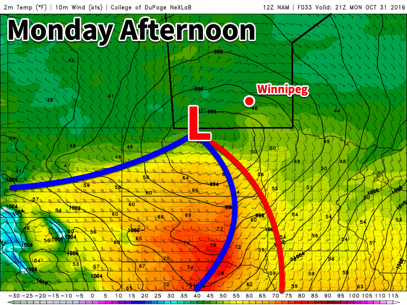
The arrival of warmer weather was delayed due to an extensive fog bank that developed on Wednesday night and persisted through Thursday as fog, mist and overcast skies. Fortunately, that cloud has now been shunted eastwards by a warm front pushing eastwards across the Prairies and the warmer weather promised in our last blog post will arrive today.
Weather Setup
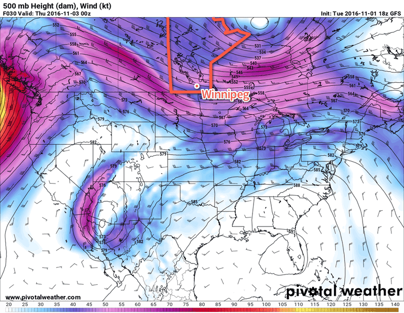
The main feature that will dominate the weather over the coming days is an upper-level ridge establishing itself over the Prairies.
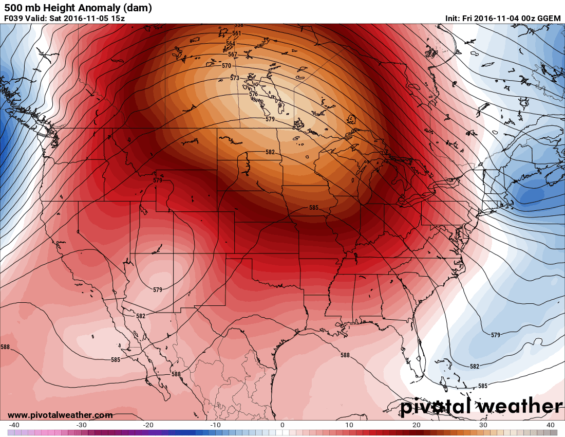
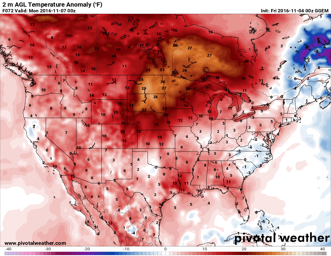
This feature will draw highly unseasonal warmth across the entire Prairies and send temperatures over 10°C above normal for this time of year. Alongside the warmer weather, generally dry conditions will persist in areas where the upper-level ridge is established.
Forecast
Today will bring the first of the warmer days as westerly to southwesterly winds bring milder Pacific air eastwards into Southern Manitoba. Skies will be mixed as a weak disturbance brings some mid- to upper-level cloud to the region in the afternoon. Daytime highs in Winnipeg & the Red River Valley will top out around 13°C. Skies will remain fairly cloudy overnight as temperatures dip to a low near 4°C.
Saturday will be a very nice day with partly cloudy skies, light winds out of the south and temperatures climbing to around 15°C. Skies will remain fairly clear on Saturday night with temperatures dipping to near the 6°C mark.
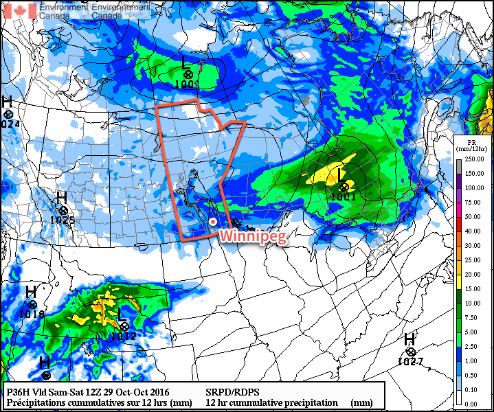
Sunday will see increasing cloud in the afternoon as a disturbance moves up from the Dakotas into southern Manitoba, bringing with it a chance of showers overnight into Monday morning. It will be quite warm, though, with highs climbing up to around 16°C.
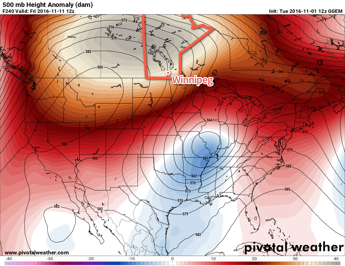
Long Range
After Sunday night’s disturbance, a southwesterly flow redevelops over the Prairies and the mild weather returns and persists until the weekend.
Winnipeg’s seasonal daytime high is currently 2°C while the seasonal overnight low is -6°C.