Winnipeg will see beautiful summer weather this weekend.
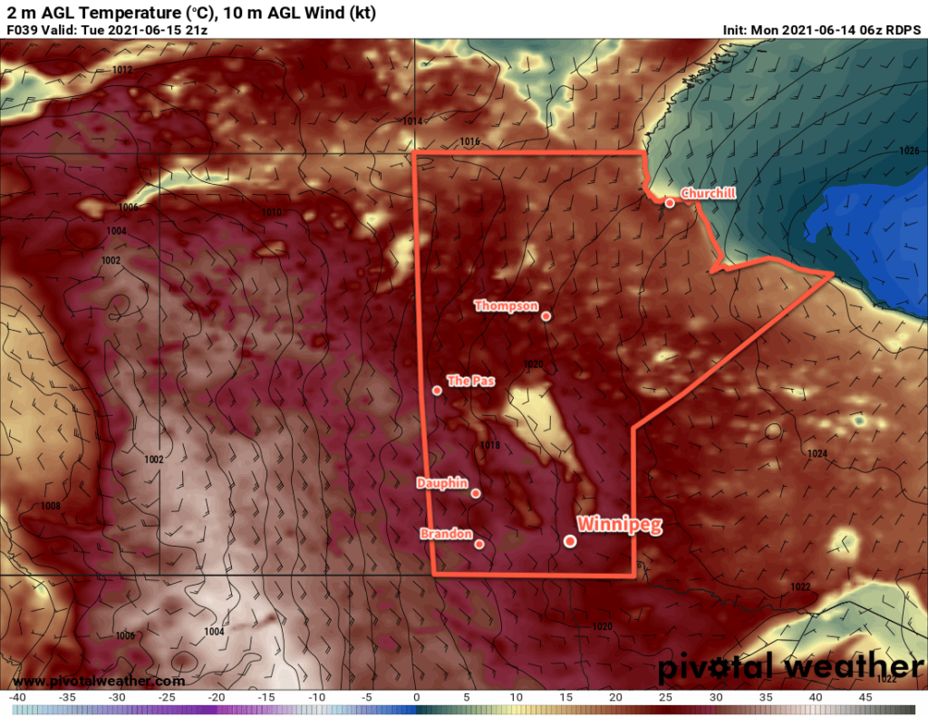
The next few days will bring seasonably mild temperatures to Winnipeg as a major upper high gradually pushes into the western Prairies. This feature will bring what will likely be a record-shattering heat wave to portions of western Canada and the western United States. That heat will take longer to reach Manitoba, though, leaving the province with generally seasonable late June conditions.
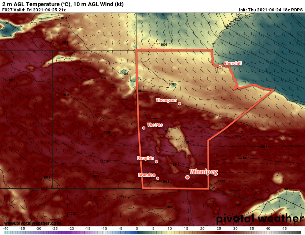
A weak ridge extending across the southern Prairies will help keep winds light out of the southwest today. Winnipeg should see partly cloudy skies for much of the day with a high near 27 °C. The city will see clear skies tonight with light winds and a low near 15 °C.
On Saturday, one last upper trough will rotate into southern Manitoba, pivoting around the broad Arctic vortex over Hudson Bay. It will bring mixed skies to the region midday into the afternoon along with a chance of showers.
There may be a chance for isolated thunderstorms, but both energy and wind shear will be in short supply. This means that if any thunderstorms are able to develop, they will likely be short-lived and won’t pose any severe weather threat. Winds will pick up out of the west-northwest for the afternoon at 20–30 km/h. Temperatures will still be warm with a high near 26 °C. Winnipeg will se a low near 13 °C under mostly clear skies on Saturday night.
Sunny skies return for Sunday with temperatures climbing once again to a high near 26 °C. Winds will be light out of the north through the day. A few showers will move through the province on Sunday, but there is strong agreement that they’ll stay west of the Red River Valley and move through the Parkland into southwestern Manitoba.
Skies will stay mostly clear on Sunday night with a low near 15 °C.
Long Range Outlook
The upper high building over western Canada will slowly push eastwards into the Prairies over the coming week. This will result in a gradual increase in temperatures next week with highs increasing into the low 30s. The city should see fairly sunny conditions, however the occasional chance for showers can’t be ruled out.
Some forecast models are suggesting that a cutoff low will develop over the Northern Plains of the United States. If this happened, then there is the potential that a high over low block could develop. These are generally very stable patterns, and could result in a prolonged period of hot, dry weather over the region.
Today’s seasonal daytime high in Winnipeg is 25 °C while the seasonal overnight low is 12 °C.