Sunny Friday Leads Into An Unsettled Start To The Weekend

Seasonal warmth returns for a beautiful Friday before cloudier conditions arrive this weekend.

Temperatures will return to seasonal values today in Winnipeg as the cooler weather of the last couple days shifts off to the east. A warm front will work its way across the region today, sending temperatures towards a high near 27° in Winnipeg. Winds will stay light out of the south with mainly sunny skies, making for a beautiful summer day.

Skies will become more mixed this evening with a light southerly wind. Temperatures will be much warmer that the last couple nights with a low near 15°C.

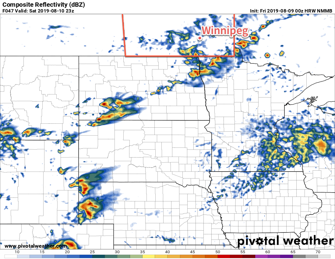
On Saturday, a cold front slowly slumping southeastwards will thicken up the cloud cover over the city. Temperatures should still be fairly warm with a high near 25°C. As the front passes through midday, it will bring a chance of showers to the region that will persist into the evening hours. Winds will be light before the front passes, then pick up out of the north into the 20 to 30 km/h range midday. The chance of thunderstorms looks low and it’s unlikely that there will be any widespread rain accumulations

This forecast simulated RADAR reflectivity shows scattered showers across southern Manitoba on Saturday afternoon.

The wind will ease in the evening with mixed to mostly cloudy skies continuing through the night. Winnipeg will see a low near 13°C.

There’s a bit of forecast divergence for Sunday, particularly with how much sun the region will have. It looks most likely that Winnipeg will see mainly cloudy skies for much of the day, however if things end up a tad south the city could see more along the lines of mixed skies. A light northerly wind will keep temperatures on the cooler side again with a high near 23°C.

More cloud will move in on Sunday night with a low near 13°C again.

Long Range Outlook

Early indications are that next week will kick off with rather unsettled conditions as a low pressure system moves across North Dakota. Rain with the risk of thunderstorms will be possible Monday into Monday night for much of southern Manitoba. After that system passes, the region will likely see another couple days of cooler weather before seasonal conditions return.

Today’s seasonal daytime high in Winnipeg is 26°C while the seasonal overnight low is 13°C.

Seasonably Warm with Mixed Weather

Winnipeg will see seasonably warm temperatures return on Friday, sandwiched between unsettled conditions on Friday and Sunday.

A passing upper-level low will bring mixed skies to Winnipeg today with breezy westerly winds near 30 gusting 50 km/h. The city will see a chance of showers through the day, although the best odds will be through the morning hours. With the “cooler” upper low over the region, daytime highs will return to seasonal values near 25°C. There might be the risk of an odd lightning strike in the afternoon, but no organized thunderstorm threat exists.

The wind will ease this evening as temperatures head to a low near 16°C under partly cloudy skies.

On Saturday, a ridge of high pressure will move across the region. It will bring sunny skies with temperatures climbing back towards the 30°C mark. Winds won’t be an issue, keeping light out of the west through the day. Temperatures will stay warm on Saturday night with a low near 19°C under increasing cloudiness.

Winnipeg will see a chance of showers or thunderstorms midday Sunday as a trough of low pressure moves through. Timing will be crucial to where that threat develops; if convection holds off until the afternoon, there’s a better chance that the activity will develop east of the Red River into the southeastern corner of the province. We recommend you keep an eye on ECCC’s thunderstorm outlook product in our bulletin viewer Saturday afternoon and Sunday for the latest updates on the thunderstorm and severe weather potential. The chance for showers may redevelop later in the day when a cold front swings through the region.

Aside from the convection, it will be a fairly pleasant day. Temperatures will climb to a high near 29°C with comfortable humidity and southerly winds of 30 gusting 50 km/h shifting to westerly 30 gusting 50 km/h behind the trough.

Long Range Outlook

Settled conditions will move into southern Manitoba to start next week with below-seasonal temperatures moving in on Monday behind the cold front. More heat will return mid-week with variable cloudiness and perhaps the occasional chance of thunderstorms.

Today’s seasonal daytime high in Winnipeg is 26°C while the seasonal overnight low is 13°C.

Hot and (Briefly) Muggy Conditions Return

Winnipeg will see more heat with building humidity before a cold front passes through on Thursday, bringing a chance of showers or thunderstorms.

An upper ridge over the province will bring another hot day to Winnipeg. The city will see daytime highs near 30°C under mainly sunny skies today. Dew points will gradually rise through the day as southerly winds of 20 to 30 km/h draw humidity northwards. This will produce humidex values approaching the mid-30s this afternoon. The wind will persist out of the south tonight near 20 km/h with increasing cloud. This will result in a warm, muggy night with a low near 21°C.

There’s a lot of diversity in the model forecast solutions for Wednesday night. Some models have no precipitation for Winnipeg, while others sustain an area of thunderstorms from southern Saskatchewan into the region. Either way, if there is going to be any precipitation it likely won’t arrive in Winnipeg until early Thursday morning. The synoptic pattern isn’t particularly favourable for sustaining nocturnal convection, but if the thunderstorms in Saskatchewan can organize early enough, they may be able to last all the way to the Red River Valley. We’ll keep an eye on it, and we’d also recommend checking out Environment & Climate Change Canada’s take on it in their thunderstorm outlook, available in our bulletin viewer.

On Thursday, a cold front will push across the province early in the day. Behind the front, moderate westerly winds of 30 to 40 gusting 50 km/h will clear skies and usher in a drier air mass. Temperatures will still be warm with a high near 29°C, but the drier conditions will make it more comfortable. Winds will continue out of the southwest at 10 to 20 km/h on Thursday night. Temperatures will head to a low near 17°C with increasing cloud.

Friday will bring breezy conditions to southern Manitoba again as a low pressure system passes to the north. Westerly winds will pick back up into the 20 to 30 km/h range in the Red River Valley with mixed to cloudy skies. There will be a chance of showers with this system as well as moisture wraps around the low. Potential rainfall amounts amounts don’t look particularly significant; just light accumulations of a couple mm look possible. Temperatures will be cooler with a high near 25 or 26°C.

Skies will clear Friday night with diminishing winds. Winnipeg will see a low near 16°C.

Long Range Outlook

Warm weather will return to the region on Saturday with highs returning to the 30°C mark with mostly sunny skies. Showers or thunderstorms will be possible on Sunday with a low pressure system forecast to move across southern Manitoba.

Today’s seasonal daytime high in Winnipeg is 26°C while the seasonal overnight low is 13°C.

Unsettled Conditions Return to Winnipeg

The dry conditions of just a couple weeks ago are almost a distant memory with more showers and thunderstorms possible through the second half of the week.

More showers are on the way for Winnipeg later today. The city will see cloudy skies as a low pressure system works its way across the province. By midday, scattered to widespread showers will develop ahead a trough of low pressure with the chance of embedded thunderstorms. The unsettled conditions should clear out by late in the afternoon with the skies clearing out a bit after that.

Temperatures will be cooler today; Winnipeg will have southerly winds to around 20 km/h and a high near 23°C. It will continue to be a bit muggy today with dew point temperatures near 18°C with only slight relief tonight. The city will see a low near 16°C with partly cloudy skies.

Thursday will be a bit of a tricky weather day over the region. Warmer weather will return to Winnipeg with temperatures climbing to around 28°C with muggy dew points near 18 or 19°C. Winds will pick up out of the southwest into the 20 to 30 km/h range.

The southwesterly flow over southern Manitoba will push a broad frontal wave into the province. As it moves into place, a low pressure system will push into western Manitoba from Saskatchewan. The interaction of these two systems will produce a conditional threat of thunderstorms over the region late in the day. There will be a chance that these thunderstorms, should they form, could be severe. Unfortunately, the subtle nature of the interactions that will lead to thunderstorm development can’t be forecast with too much accuracy this far out. Be sure to check out ECCC’s thunderstorm outlook on our Bulletin Viewer on Thursday morning for a complete discussion on the day’s thunderstorm potential.

Warmer weather will return to southern Manitoba on Thursday.

Once the thunderstorm threat diminishes on Thursday evening, the city will see partly cloudy skies with temperatures heading to a low near 15°C. Winds will persist out of the southwest near 20 km/h through the night.

Partly cloudy skies will be in place for Winnipeg on Friday, although cloudier conditions won’t be too far to the north. Temperatures will reach a high near 24°C with westerly winds of 30 gusting 50 km/h. Of note will be that those westerly winds will finally flush the humidity out of the region, bringing a return of more comfortable conditions.

Winnipeg will see a few clouds on Friday night as winds ease and temperatures drop to a low near 13°C.

Long Range Outlook

Winnipeg will see variable cloudiness this weekend with a chance of a few showers on Sunday. Settled conditions will move in after that with plenty of sunshine through next week. Temperatures will be near-seasonal through the weekend, but a warm-up is forecast by mid-week with daytime highs returning to the 30°C mark. Humidity levels are forecast to stay low through much of next week.

Today’s seasonal daytime high in Winnipeg is 26°C while the seasonal overnight low is 13°C.