Wednesday? Beautiful, No Foolin’! Thursday? Not So Much…

Some of the warmest weather so far this year will move into the region today, drawn eastwards by a fairly strong spring storm moving through the Central Prairies. The warmth is not meant to last, though, as a strong cold front pushes through and brings below-normal temperatures for the remainder of the week.

Wednesday
16°C / 2°C
Windy with sunny breaks this afternoon

Thursday
⇓ -2°C / -12°C
Cloudy & windy; chance of showers or flurries

Friday
0°C / -8°C
Mainly sunny & cool

Today will be quite a warm day thanks to very mild air over our region; 925mb temperatures are expected to climb to around 9°C, which should translate to daytime highs near 15 or 16°C once we sunshine this afternoon. Speaking of sunshine, while today is starting off cloudy, we should the cloud cover break up this afternoon as the dry slot associated with the Central Prairie low moves across Southern Manitoba. Alongside the sunshine and clearing will be fairly gusty westerly winds to 30–40km/h with gusts as high as 60km/h. The winds will taper off in the evening as we head to an overnight low of around +2°C.

RPDS 3hr. QPF & MSLP valid Thursday, April 2, 2015
The RPDS shows an area of light precipitation moving through the Red River Valley on Thursday with a relatively tight pressure gradient that will produce gusty northerly winds.

Thursday will be a significantly less pleasant day as a cold front pushes through Southern Manitoba, bringing with it cooler temperatures, gusty northerly winds and a fairly good chance for some shower or flurry activity. Temperatures in Winnipeg will slide through the morning, settling near –1 or –2°C for much of the afternoon as gusty northerly winds to around 40km/h tap cooler air from the north. The best chance for any shower or flurry activity would be through the morning & early afternoon. Skies will clear out Thursday evening as we head to a low near –12°C.

Friday will be a benign weather day for Winnipeg & the Red River Valley, but temperatures will be well below normal. Daytime highs will only be around +1 or +2°C through the Red River Valley, which is a few degrees below normal for this time of year. Fortunately, winds will be light and with that increasingly strong April sun shining, it won’t feel so bad. Expect temperatures to drop to around –8°C on Friday night with partly cloudy skies.

Quiet Weekend Ahead

The weekend is looking fairly quiet for Winnipeg with seasonal to slightly below-seasonal temperatures and a few clouds. A ridge of high pressure building in from the Arctic looks to keep most disturbances to the south of Winnipeg, however with the main frontal zone setting up near the U.S. border and a few shortwaves rippling along, areas along the U.S. border in Southern Manitoba may see a few showers or flurries through the weekend. Nothing significant is expected.

NAEFS 8-14 Day Temperature Anomaly Outlook (issued 12Z March 31, 2015)
The NAEFS 8-14 day temperature anomaly forecast show above-seasonal warmth returning to Manitoba.

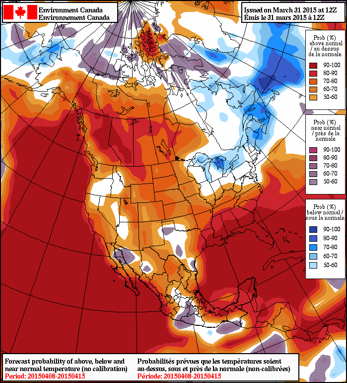
In the longer range, it looks fairly likely that we’ll see a return to above normal temperatures through the second week of April as the storm track shifts back further north; while above normal temperatures will return, it looks like much of the warm weather will be associated with weather disturbances, making it likely that we’ll see more of a “roller coaster” temperature pattern than a prolonged period of warm, dry weather. Only time will tell, though! For now, expect a few cool days and then a stretch of near-seasonal temperatures.

Warm & Unsettled

This week will start out warm, but a bit unsettled thanks to a series of low pressure systems that will pass through the region, bringing variable weather conditions.

The first of a series of low pressure systems will pass through Manitoba on Monday

Monday

Monday
13°C / 0°C
Mix of sun and cloud with chance of showers

Today will be a mixture of sun and cloud as a low pressure system passes through the region. This low may generate some shower activity in southern Manitoba, but accumulations will be small. A cold front will pass through in the afternoon, causing winds to pick up from the north-west. Temperatures should climb into the low teens in most areas making for a warm but slightly unsettled day.

Tuesday

Tuesday
14°C / 5°C
Mainly sunny

Tuesday will be a nice day in southern Manitoba. There will be some cloud cover, but there should be more sun than cloud. Temperatures will climb into the low to mid teens with increasingly strong south winds. Overall, a pleasant spring day!

Wednesday

Wednesday
13°C / -2°C
Mainly cloudy with showers

Wednesday will see the return of unsettled conditions as another low pressure system approaches the region. This system will be quite powerful, but luckily most of the heavy precipitation (and that in solid form) will remain to our north. We will nonetheless see some shower activity and mainly cloudy skies. Winds will shift from southerly in the morning to westerly in the afternoon.

Long Range

The long range forecast continues to look quite variable. After Wednesday’s system exits the region we’ll see markedly cooler weather as cold air floods down from the north. Following this cool-down it appears that temperatures will hover around seasonal values, give or take a few degrees.

Elsewhere in Weather News: March 28th, 2015

First Significant Severe Weather Event of the Season Strikes Oklahoma

This past Wednesday severe storms erupted across much of Oklahoma bringing with them very large hail and even tornadoes. It was the biggest severe weather day this year in the states, up to now (but many more are to come). A surface low was located in central Oklahoma with dryline extending southward, cold front crashing south from the north side of the low, and a warm front extending northeastwards from the low. There were two main focus areas for the storms – along the dryline and near the triple point/along the warm front. A moderate risk was issued by the SPC and covered the areas of concern. The outlook also included a 5% tornado risk with 45% hatched hail probabilities. A moderate jet streak was in place with dewpoints in the high teens, which together provided sufficient shear and CAPE for supercells.

[map type=”terrain” autofit=”1″ disable_scrollwheel=”1″] [pin]Sand Springs[/pin] [pin]Moore[/pin] [/map]

As expected, several storms initiated on Wednesday afternoon and grew into supercells. Two supercells were of most concern before storms consolidated into squall lines: one near Tulsa and one near Oklahoma City. The storm that approached Tulsa showed strong rotation on radar early in its lifetime –a tornado warning was able to be issued well before it hit the city. By the time it reached a suburb of Tulsa, Sand Springs, a tornado touched down and tore through a trailer park. In addition to that, hail, the size of tennis balls, were reported in Tulsa’s metro region as the supercell’s hail core passed over the city. The tornado (preliminary rating of EF-2) injured over a dozen people and one person lost their life in the trailer park.

Aerial view of the damage to the trailer park in Sand Springs. (Source: Tulsa World)

The Oklahoma City storm fired off the dryline initially but then got undercut by the cold front – meaning it had little tornado potential. Interestingly enough, the supercell was able to catch up to the cold front and interact with it, enhancing the vorticity in the area – likely being a contributing factor to the formation of the tornado. With this mesoscale interaction playing a significant part in the cause of the tornado, not much lead time was provided to residents (it happened quickly). Unfortunately the twister (preliminary rating of EF-1) touched down in the city of Moore, OK which got hit by a devastating twister in 2013 and had seen two other strong tornadoes since 1999. No injuries were associated with this one, thankfully.

Compilation of radar images before/during/after the Moore tornado showing the storm's interaction with the cold front. (Image compilation by @VORTEXJeff / Twitter)
Compilation of radar images before/during/after the Moore tornado showing the storm’s interaction with the cold front. (Image compilation by @VORTEXJeff / Twitter)

The pattern could become active again by the middle of next week, but it is still too early to be certain. April to late May is typically the busiest time of the year for severe weather in the Southern US Plains, due to plentiful moisture before the jet stream shifts further north for the summer.

Warmer Weather Returns for the Weekend

The brief cool-down in the wake of a relatively short-lived, but potent storm will come to an end this weekend thanks to another low pressure system moving across the Prairies that will bring a warm front across the province over the next couple days.

Friday
-1°C / -7°C
Mainly cloudy with a chance of flurries

Saturday
7°C / 1°C
Increasingly cloudy & windy

Sunday
7°C / -2°C
Clearing & windy

Today will see cloud moving in through the morning as a weak disturbance moves into western Manitoba. While this system will bring 2–4cm of snow west of the Red River Valley, here in Winnipeg we’ll see just a slight chance of a light flurry or two. Further west in the Red River Valley – near Portage la Prairie S/SE down towards Morden & Winkler – will likely see a bit of light snow today, but no significant accumulations from it. Winds will be around 20km/h or so out of the south and Winnipeg will see a high temperature near –1°C. Skies will clear this evening as temperatures head to a low near –7°C.

Saturday will be a warm but windy day as a warm front moves into the Red River Valley. Temperatures will climb to an above-normal[1] 7°C under increasingly cloudy skies. Winds will pick up fairly early in the day and strengthen out of the south to 40–50km/h.

Saturday Night
1°C
Rain overnight

A low pressure system will track through Manitoba on Saturday night. The biggest impact from this storm will be felt in Central and Northern Manitoba where up to 10cm of snow may fall. Further south, we’ll see an area of rain move across the region beginning early Saturday evening and tapering off sometime mid-overnight.

Generally speaking, somewhere between 2–5mm of rain is likely to fall. Winds will taper off in the evening as the Red River Valley moves into the trough of this system, and then pick up again out of the northwest once the low passes. The wind will likely strengthen to around 40km/h by Sunday morning.

GDPS 12hr. QPF valid 12Z Sunday March 29, 2015
12hr. accumulated precipitation amounts forecasted by the GDPS for Saturday night.

Sunday will see clearing skies and a high once again near 7°C. Winds will remain strong out of the northwest at 40–50km/h into the early afternoon before tapering off.

Long Range

The long-range forecast looks quite nice through the first half of next week. Both Monday & Tuesday look to bring fairly sunny skies and highs somewhere in the 5–10°C range. Things take a bit of a turn mid-week when a low pressure system is forecast to move across the Prairies and potentially bring another snow event to the Red River Valley.


  1. Normal daytime highs for this time of year in Winnipeg are near +3°C.  ↩